
361 River St, Weymouth, MA 02191, USA
https://www.mass.gov/locations/webb-memorial-state-park
Owned By: Massachusetts Department of Conservation & Recreation (DCR)
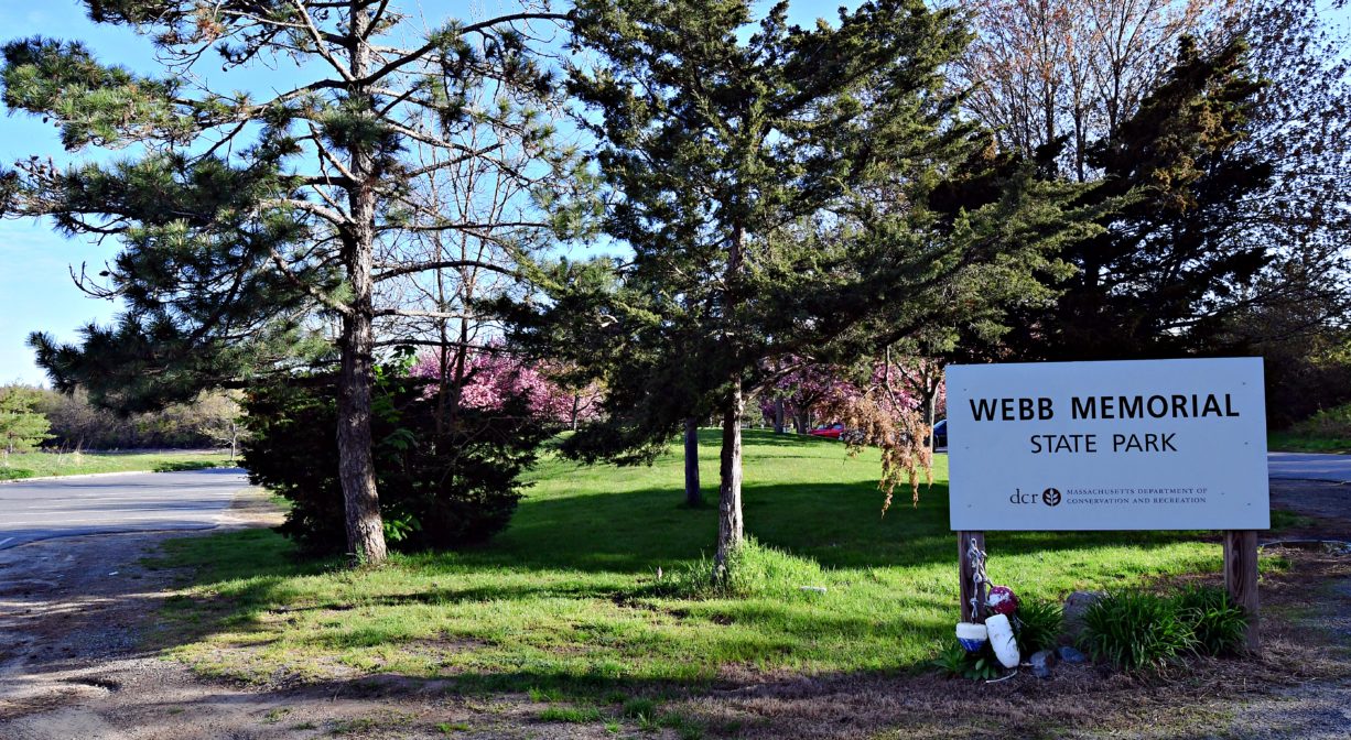
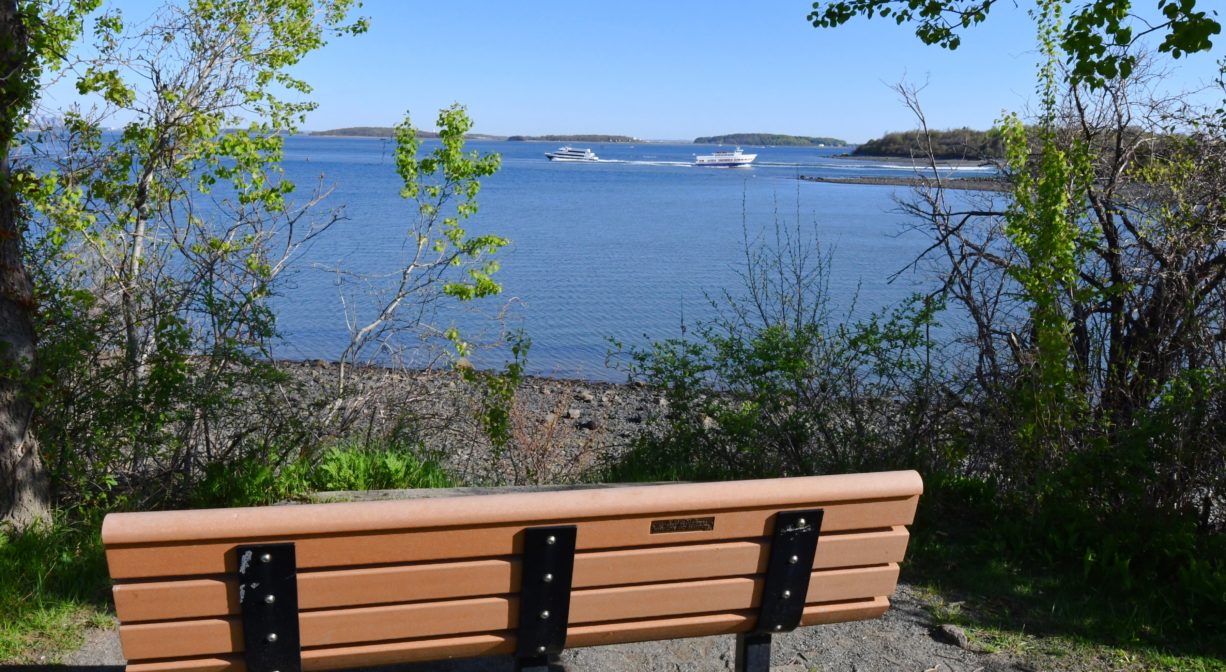
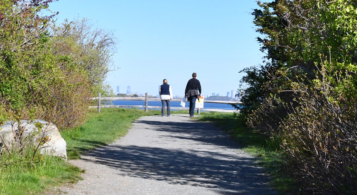
The 36-acre Webb Memorial State Park is located on a grassy peninsula between Weymouth’s Back and Fore Rivers. The park features one mile of easy, stroller-friendly walking trails, and is the only mainland portion of the Boston Harbor Islands National Recreation Area.
There is no designed paddling area, but you can carry your canoe or kayak to the beach to launch it on the river.
FISHING ADVISORY: It’s important to know that some of our freshwater fisheries are contaminated with mercury, PFAS and/or other concerning substances. The Massachusetts Department of Public Health maintains an online database with up-to-date advisories regarding fish consumption, sorted by location. We recommend you consult this valuable resource when planning a fishing excursion.
HUNTING: On this property, hunting is only allowed below the high tide line, in season, by licensed persons in compliance with Massachusetts law. Please be sure to understand state and local hunting guidelines before proceeding. Non-hunters, be mindful of hunting seasons, and wear bright orange if you’re entering the property during those times. Hunting is not permitted on Sundays.
SWIMMING: Massachusetts routinely checks water quality at public swim spots and shares the data in an online database. Save this link so you can check water quality before you go.
Features
Webb Memorial State Park is located at the end of Weymouth Neck, a peninsula that extends into Hingham Bay. It was originally known as Wessagussett (often translated as “by the small saltwater cove.”) Native Americans favored this spot for its abundance of wild fruit, fish and shellfish, and employed it as a seasonal campsite.
This land is within the region of the Massachusett (or Massachuseuk). To learn more about local Native American tribes, we encourage you to interact with their members. The Mattakeeset band of the Massachusett, and the Massachusett tribe at Ponkapoag, both share information on their websites.
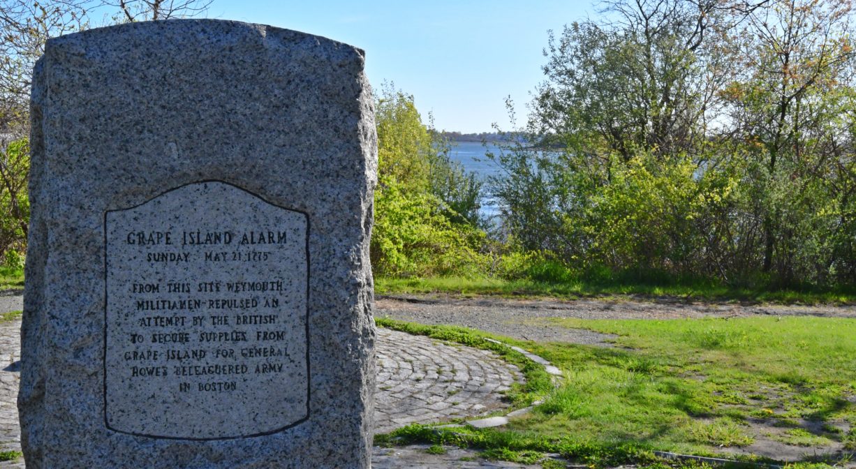
In 1775, during the Revolutionary War, a skirmish took place nearby, between local colonists and crews of British ships. The British had anchored at Loyalist-owned Grape Island, to obtain hay for their horses in Boston. Local militiamen fired upon them, drove them away, and then burned down the barn where the hay had been stored. This incident became known as the Grape Island Alarm. It was the second armed confrontation of American Revolution.
In colonial times, Weymouth Neck was used primarily for agriculture. However in 1872, the Bradley Fertilizer Company built a small complex on site, producing commercial grade fertilizers for farmers. (The owner/president, William Bradley, established a 100-acre estate in Hingham. All that remains of it now is Bradley Pond, located at the McCluskey Conservation Area, behind Walgreen’s on Lincoln Street (Route 3A).) The Bradley Fertilizer Company was very successful, with branches in New York, Ohio, Maryland and Georgia, plus phosphate mines in South Carolina and Florida. Unfortunately, it resulted in significant soil contamination at the site. The Weymouth factory burned down in 1899.
In the late 1950’s, the property that is now Webb Memorial State Park became a military site, housing a Nike anti-aircraft missile launcher (one of 12 in the Boston metropolitan area). Its control and radar systems were located at Fort Duvall on Hog Island (now Spinnaker Island), on the other side of Hingham Bay. The missile site was deactivated in 1974. In 1977, the property’s ownership was transferred to the Commonwealth of Massachusetts, and work commenced to convert it into a state park. After a major clean-up effort, Webb Memorial State Park opened in 1980. It was named for Weymouth police officer William Webb.
We encourage you to follow and support the Back River Watershed Association.
Trail Description
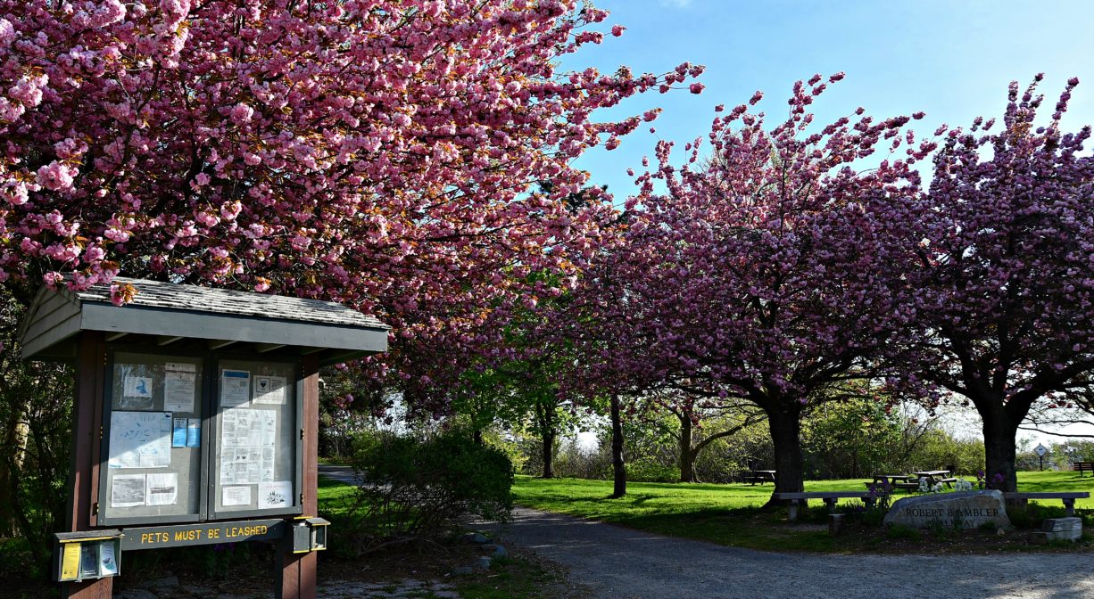
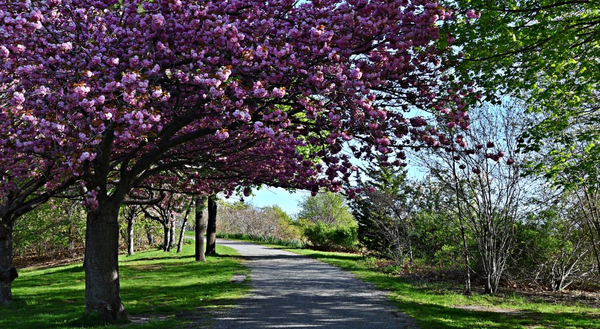
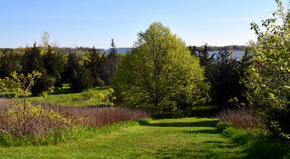
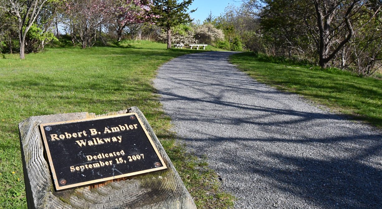
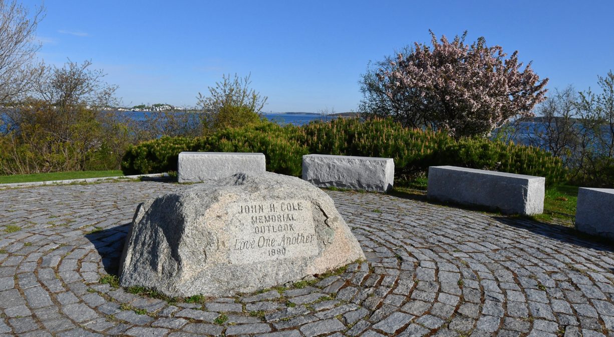
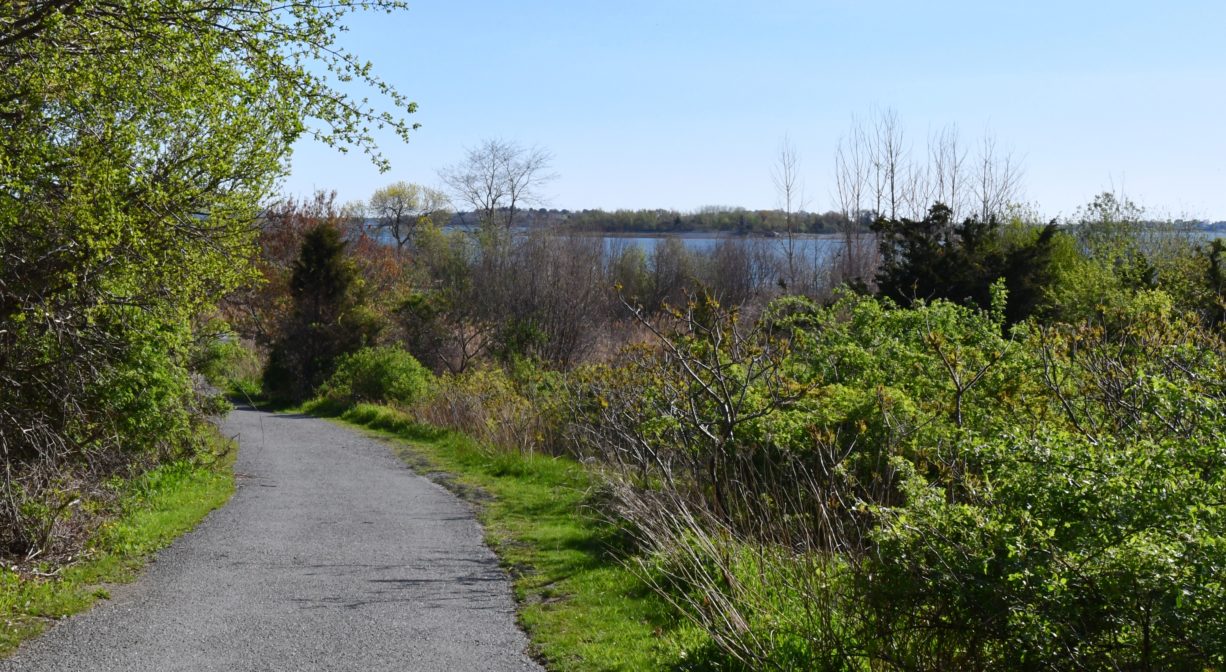
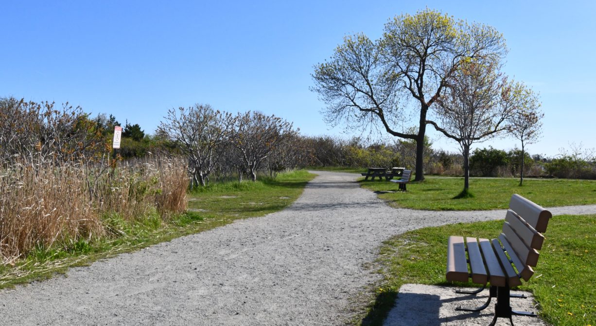
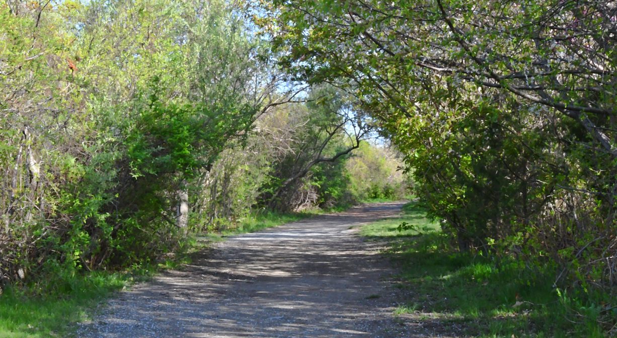
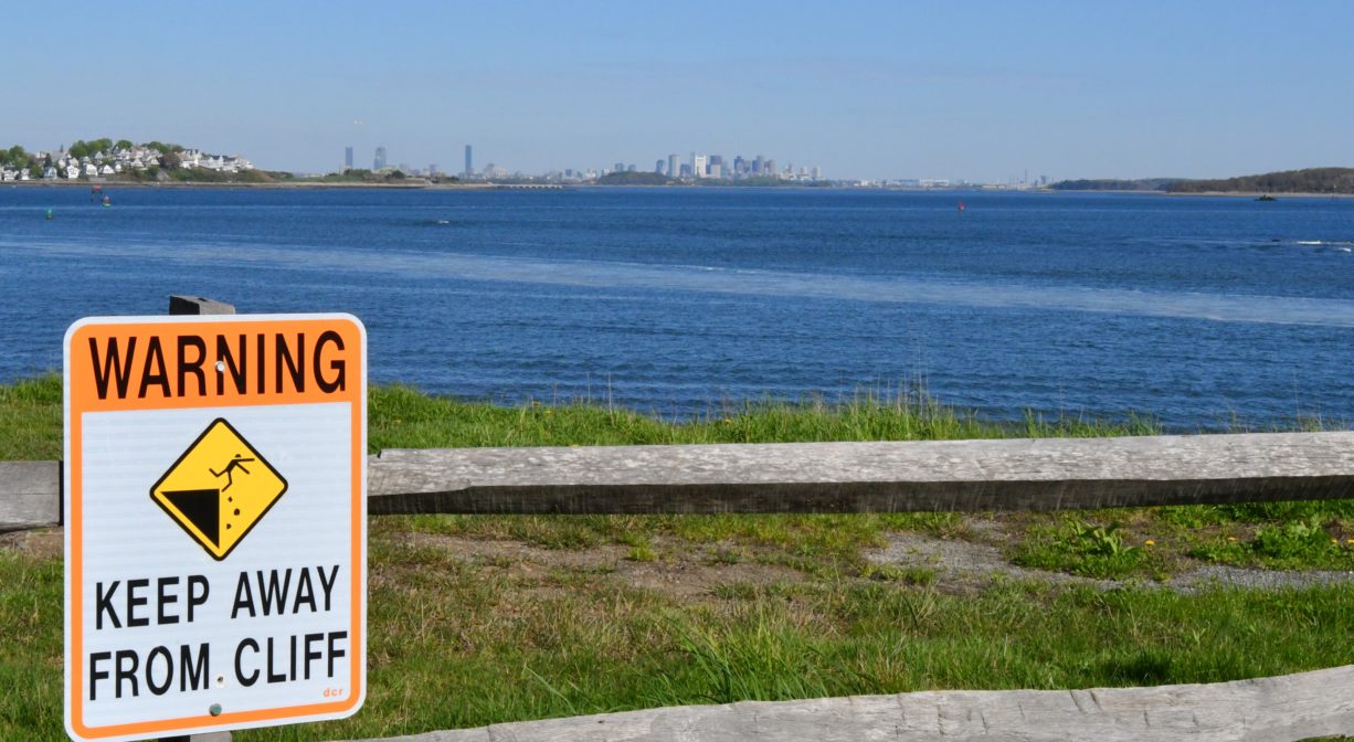
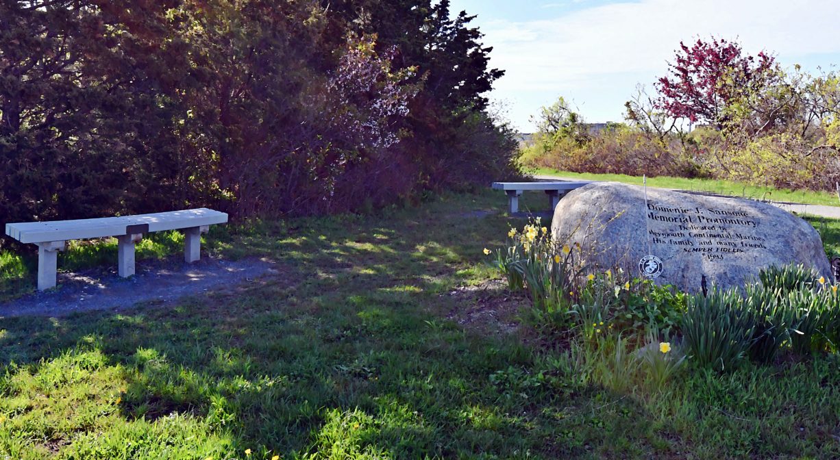
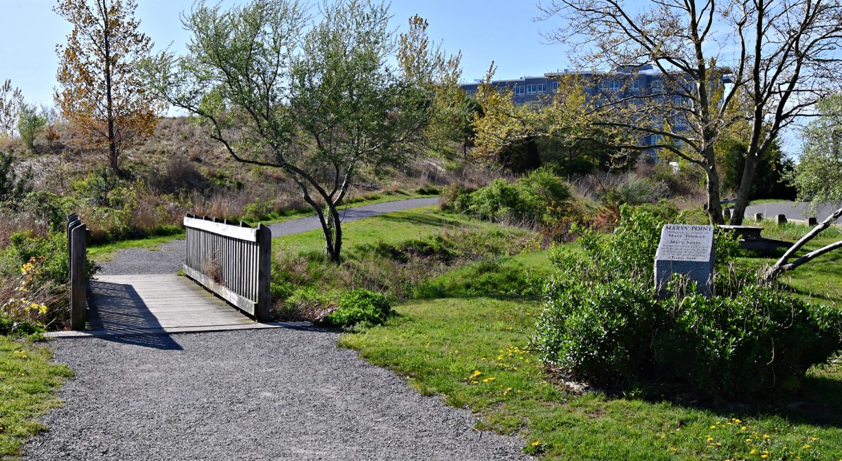
Webb Memorial State Park offers an easy, 1-mile gravel loop trail, which extends past several memorials. Portions of it are designated as a Heart Healthy Trail. Along the way, check out views of the Back and Fore Rivers, as well as Slate and Grape Islands.
Habitats and Wildlife
There are two drumlin hills on the property, created by the retreat of the glaciers 12,000 years ago. One of them was partially hollowed out in 1959 to create a missile storage silo. Both Ajax (30-feet long) and Hercules (39 feet long) Nike missiles were stored there. Air vents for the facility are visible from the trail.
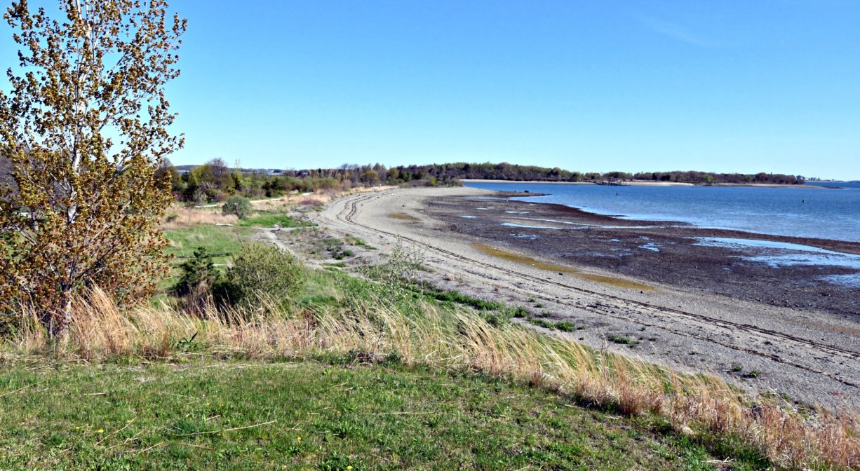
Look for common eider on the mussel flats off shore, as well as brant geese feeding on the eelgrass. During spring and fall migrations, you might observe a variety of shorebirds digging in the mud of the tide flats. Especially after warm-weather rains, you might also see land snails.
Most of the wildflowers and shrubs at Webb Memorial State Park were brought over by settlers from Europe, although some, such as the salt-spray and multi-flora roses from Asia, arrived via trade with China. However some species — such as staghorn sumac and bayberry — are native to the area. Look for field mustard along the path to Lower Neck Beach. In the freshwater marsh, the dominant vegetation is invasive phragmites. In the salt marsh, cordgrass grows closer to the water and salt-meadow grass grows closer to the land. You may also see marsh elder, sea lavender and glasswort.
The Back River rises from several ponds and swamps, including Whitman’s Pond in Weymouth. It flows for about 10 miles, and empties into the Atlantic Ocean at Hingham Bay, just south of Grape Island and Slate Island.
The Fore River begins in the Weymouth Landing area of Braintree, at the confluence of the Monatiquot River and Smelt Brook, and marks the boundary between Weymouth and Braintree. It also passes through a heavily industrialized area of Quincy, which includes the former Fore River Shipyard. A quarter mile past the Fore River Bridge (Route 3A), at Germantown, Town River flows into the Fore River. Two miles farther downstream, the river flows into Hingham Bay.

Historic Site: Yes
Park: Yes
Beach: No
Boat Launch: Yes
Lifeguards: No
Size: 36 acres
Hours: Dawn to Dusk
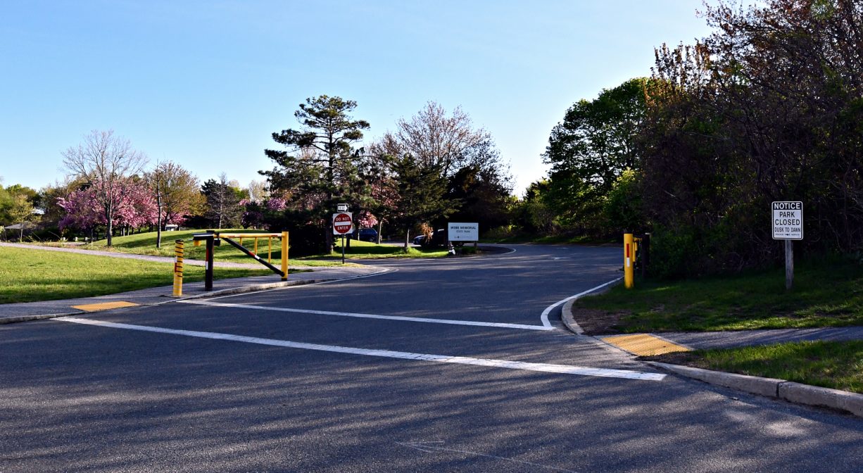
Parking: Large on-site parking area at 361 River Street.
Cost: Free
Trail Difficulty: Easy
Facilities:
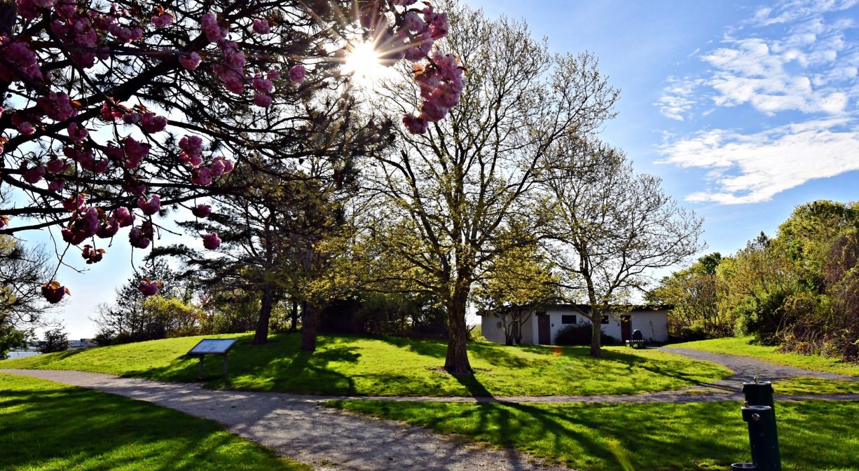
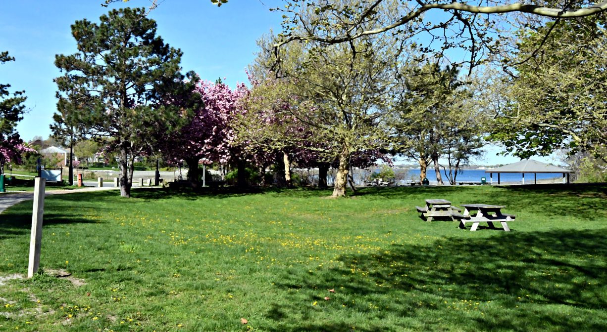
Benches, picnic tables, covered pavilion, grills, drinking water, trash receptacles, restrooms. Geocache location.
Dogs: Dogs must remain on leash. Always clean up after your dog!
Boat Ramp: No
ADA Access: Yes
Scenic Views: Yes
Waterbody/Watershed: Weymouth Back River, Fore River