
226 Webster St, Marshfield, MA 02050, USA
Marshfield Conservation: (781) 834-5573
Owned By: Town of Marshfield
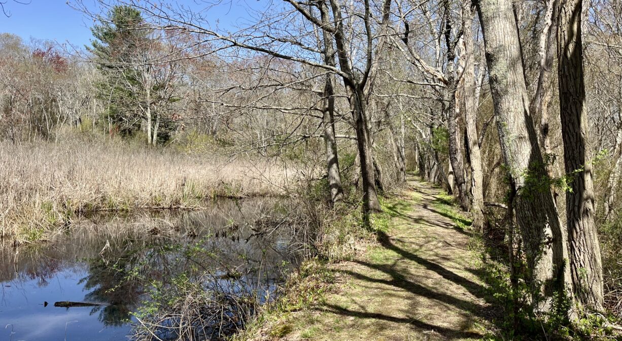
Webster’s Wilderness is a 130-acre Marshfield Conservation property with a 2-mile trail network through lowland forest and wetlands. It is part of the 1200 acres that once belonged to US Senator and two-time Secretary of State Daniel Webster. The property features pond views, vernal pools, and a portion of the historic Pilgrim Trail, as well as Cherry Hill, the place where Webster gave his last public speech. Located next to the Marshfield Senior Center, the Wheeler Recreation Campus, and the Daniel Webster Estate.
Hunting is not allowed at Webster’s Wilderness, nor at any of Marshfield’s other conservation properties.
Features
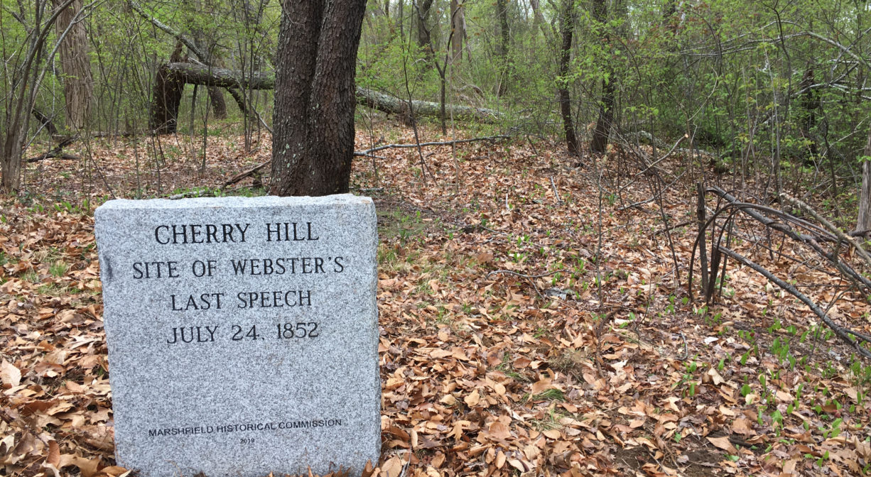
Webster’s Wilderness is rich in history. The section of the property known as Cherry Hill is remembered as the place where Daniel Webster gave his last public speech. A granite marker commemorates the event. Much of the acreage here was acquired for conservation in 1980.
According to Marshfield: A Town of Villages 1640-1990, by Cynthia Krusell and Betty Bates, Webster returned from Washington to his home in Marshfield in the summer of 1852. His health failed shortly thereafter, and he passed away on October 24th. It’s a proud piece of local lore that Webster requested to be interred at the nearby Winslow Burying Ground, and therefore declined a state funeral and burial in the National Cemetery. Mourners traveled along the Old Pilgrim Trail (also known as Green Harbor Path) to attend the funeral service at his estate, or sailed upstream from the Atlantic to his wharf on the Green Harbor River. It’s fascinating to imagine how these old roads and waterways were the highways of yesteryear. Webster’s home was inhabited by his extended family until it was destroyed by fire in 1878. (It was rebuilt on its original foundation.)
In 1884, Walton Hall purchased the property, and developed much of the surrounding land as cranberry bogs (160 acres at this site, and about 1,000 acres total in the general vicinity.) Those bogs — later managed by Walton’s sons, Lincoln and Lewis — are long gone now, but you can find vestiges of them as you explore the trails of Webster’s Wilderness. Especially on the Cherry Hill side of the property, there are small ponds and a number of narrow streams, once part of the cranberry operation’s irrigation system. There are also culverts and dams, and occasional rusted remains of pipes and pumps. The property also features some old stone walls, and the rusted, skeletal remains of a 1950s/60s Willys Jeep, visible at the side of the trail.
This 2025 video featuring Ned Bangs, Chair of the Marshfield Trails Committee, offers a tour of the property.
This land is within the region of the Wampanoag. To learn more about local Native American tribes, we encourage you to interact with their members. The Mashpee Wampanoag and the Herring Pond Wampanoag share information on their websites.
Trail Description
Webster’s Wilderness is accessible via the parking area behind the Marshfield Senior Center (230 Webster Street). Look for the kiosk in the rear parking lot. One trailhead is directly behind the kiosk. Another is within the Wheeler Recreation Campus, where a paved 1/3-mile walking trail encircles the ballfields. If you look across from the parking lot to approximately 10 o’clock, that’s where you’ll find the second (unmarked) trailhead. The third entrance (pedestrians only) is a trail that extends off Adelaide Road, farther up Webster Street. It is blazed in yellow.
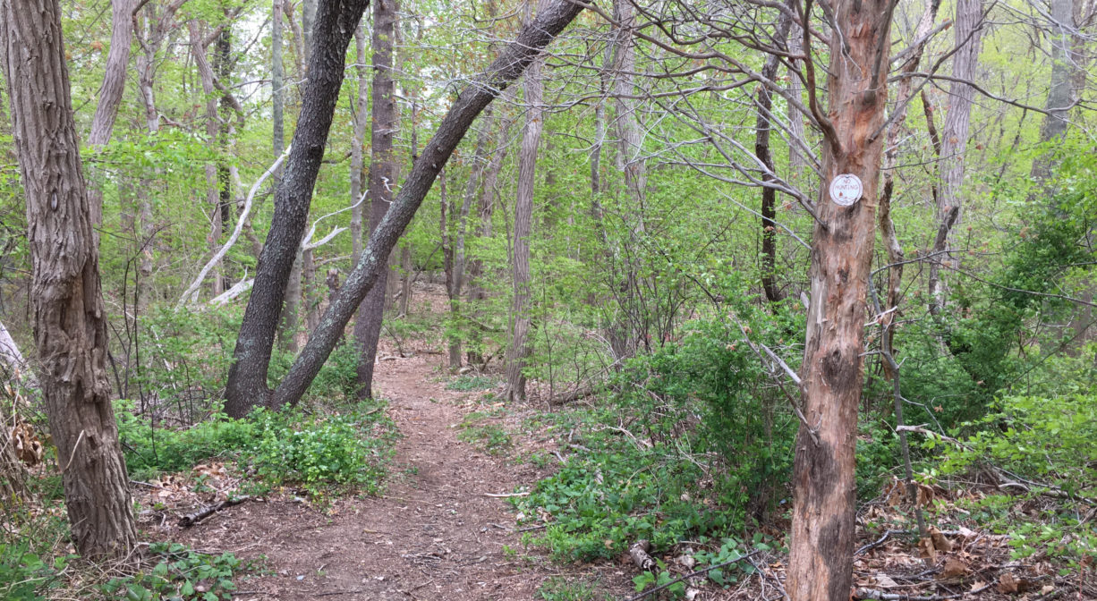
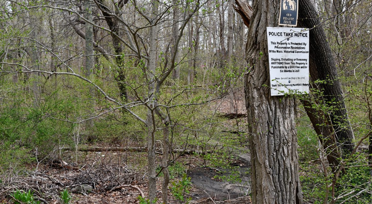
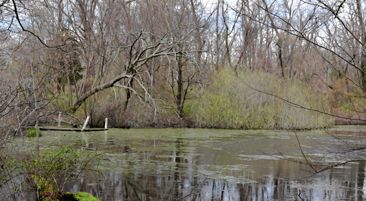
From the main trailhead, it’s just a short walk to a somewhat wider path. This is the Old Pilgrim Trail, a historic road that originally extended from Plymouth to Scituate. Only a small section of the Pilgrim Trail passes through Webster’s Wilderness. Turn left at this intersection and you’ll soon come out to Arborway and the Daniel Webster Estate. Turn right, and follow the trail to historic Cherry Hill, where you can enjoy historic markers and views of Cherry Hill Pond. Continuing from there will bring you to some narrow trails around two sides of Winslow Pond and through wetlands, as well as to the primary trail into the heart of Webster’s Wilderness — an area called Slaughter Island.
There are two intersecting figure-8 trails here, some more developed than others, plus the occasional spur trail. There are streams and small ponds too, as well as a vernal pool, wetlands, and large groves of cedar trees. Also, on the main trail, look for an old stone wall, to the right. There is a trail, blazed in yellow, that extends through an opening in the stone wall, up over a hill, and then down through some forest and wetlands, eventually connecting with Adelaide Way.
The Teal Trail is a great spot for wildlife observation. Follow it out to its end, and you’ll find a quiet overlook that is perfect for watching and listening to the numerous avian species that call this place home.
Slaughter Island gets its name from its agricultural past. Edward Dwyer, who owned the adjacent farm that is now the Daniel Webster Wildlife Sanctuary, is said to have used the Slaughter Island section of the property as a place to butcher cattle and dispose of their remains. Here and there along the trail you can see the occasional shallow pit, about 4-5 feet in diameter. Cattle were butchered here and then the carcasses were burned. Locals have found bones within the pits. The same story is told about traveling butcher Frank Sinnott (1881), who also lived nearby.
Habitats and Wildlife
Cedar trees abound within Webster’s Wilderness. There are also many pines and oaks, as well as maple, elm, black walnut, cherry, and the occasional birch. Watch for marshhawks hunting for frogs in the property’s vernal pools. Also keep an eye out for deer and fox. Both Winslow Pond and Cherry Hill Pond are manmade.
Wharf Creek, a major tributary to the Green Harbor River flows through this property. The Green Harbor River finds its source in springs and ponds in Duxbury. It twists and turns through Marshfield via Red Gold Farm, the Green Harbor Golf Club, the Daniel Webster Wildlife Sanctuary, property owned by the Marshfield Municipal Airport, and Peter Igo Park, and empties into the Atlantic downstream in Green Harbor.


Historic Site: No
Park: No
Beach: No
Boat Launch: No
Lifeguards: No
Size: 130 acres
Hours: Dawn to Dusk
Parking: Ample parking behind the Marshfield Senior Center, 230 Webster Street.
Cost: Free
Trail Difficulty: Easy
Facilities:
Informational kiosk at primary trailhead. Historical marker on Cherry Hill. Geocache locations.
Dogs: Dogs must remain on leash. Always clean up after your dog!
Boat Ramp: No
ADA Access: No
Scenic Views: Yes
Waterbody/Watershed: Wharf Creek (Green Harbor River watershed)