
3533+Q7 Hanson, MA, USA
Town of Hanson: (781) 294-4119
https://hike.hanson-ma.gov/alton-j-smith.html
Owned By: Town of Hanson
Hanson’s Alton Smith Reserve, also known as Smitty’s Bog, is a retired cranberry bog surrounded by woodlands and wetlands. It offers car-top boat access to Indian Head Pond, a 1-mile, stroller-friendly loop trail, and links to additional trails at Hanson’s Camp Kiwanee and Maquan Pond/Cranberry Cove, the J. J. Shepherd Memorial Forest in Pembroke, and the Bay Circuit Trail. The Sleeper Conservation Area is a 12-acre woodland situated between the Alton Smith Reserve and J.J. Shepherd Memorial Forest.
FISHING ADVISORY: It’s important to know that some of our freshwater fisheries are contaminated with mercury, PFAS and/or other concerning substances. The Massachusetts Department of Public Health maintains an online database with up-to-date advisories regarding fish consumption, sorted by location. We recommend you consult this valuable resource when planning a fishing excursion.
HUNTING: Hunting is allowed, in season, by licensed persons in compliance with Massachusetts law. Please be sure to understand state and local hunting guidelines before proceeding. Non-hunters, be mindful of hunting seasons, and wear bright orange if you’re entering the property during those times. Hunting is not permitted on Sundays.
Features
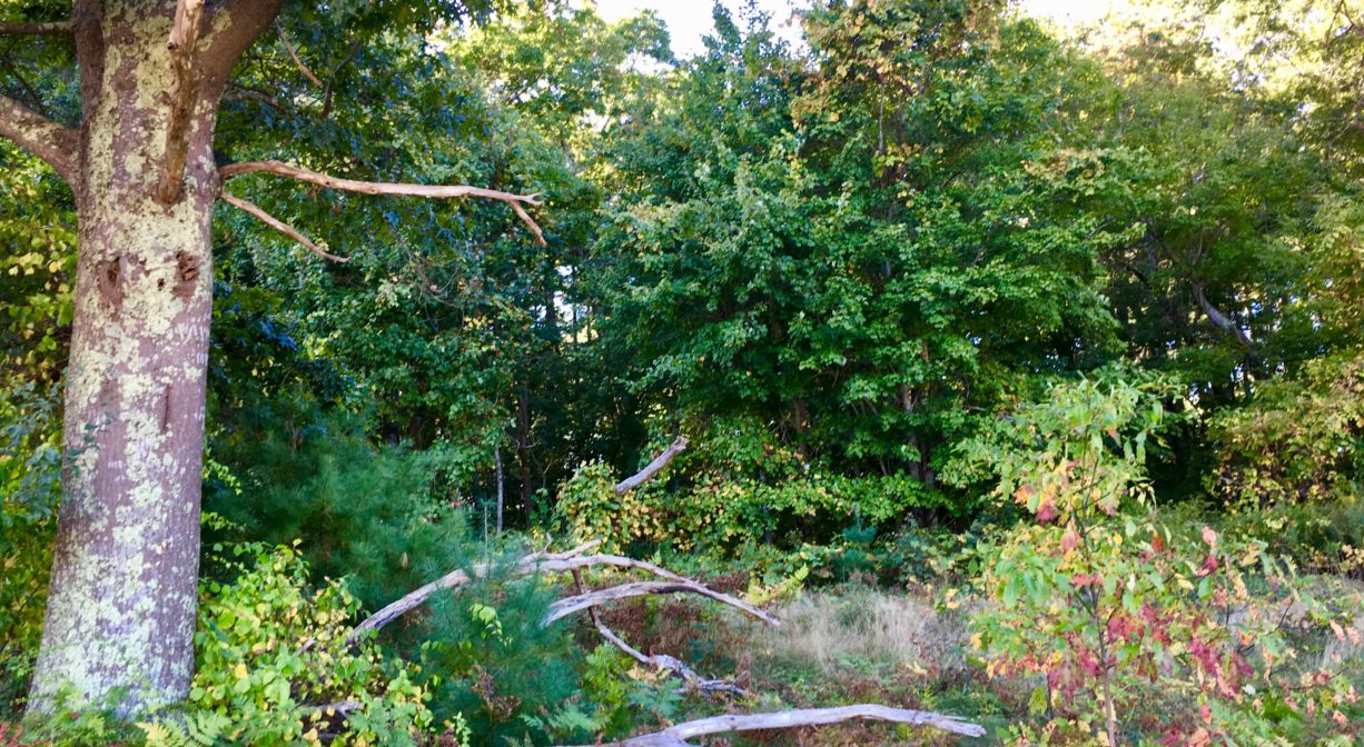
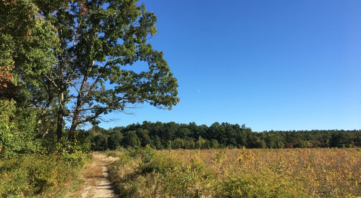
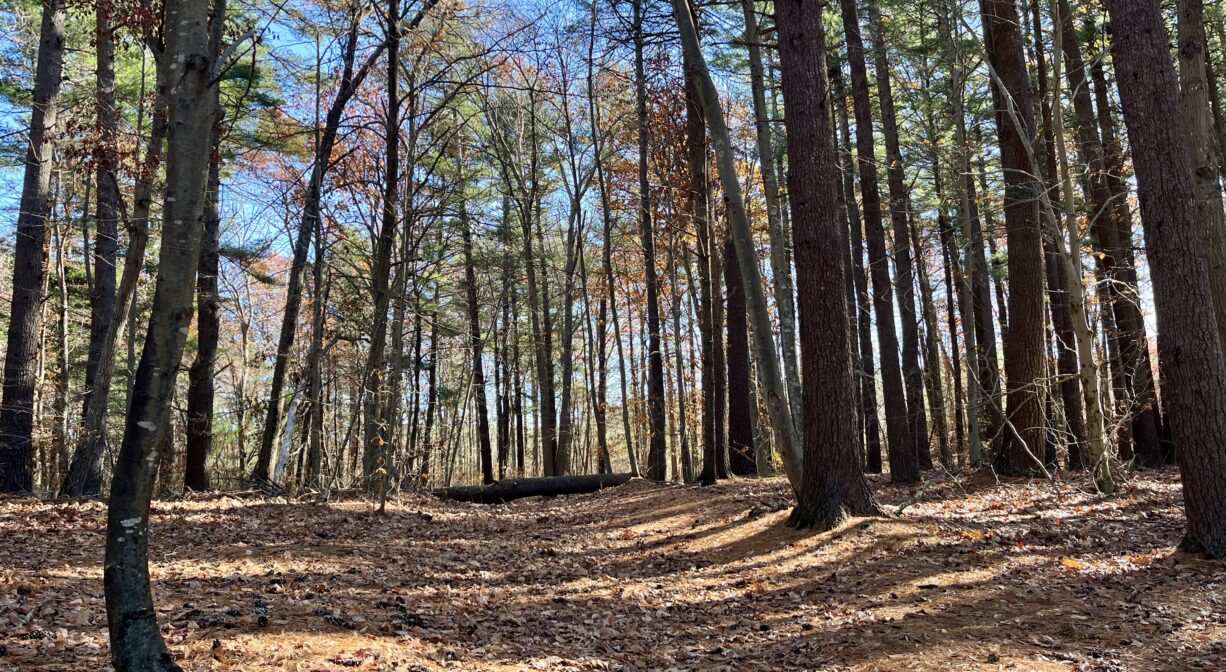
A retired cranberry bog, now returning to its natural state, the Alton Smith Reserve sits between Maquan Pond and Indian Head Pond. Just up the road is Camp Kiwanee, a former scout camp now owned by the Town of Hanson. Right next door are Sleeper Conservation Area (Hanson) and the J.J. Shepherd Memorial Forest (Pembroke).
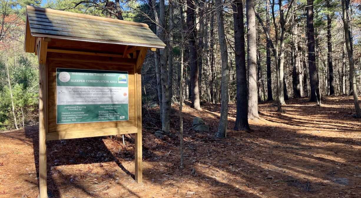
Sleeper Conservation Area was acquired by the town of Hanson in 2022. The Wildlands Trust assisted with the conservation restriction.
Through its Wetlands Reserve Program, the Natural Resource Conservation Service provided funding for a 5-year restoration program on this property (which concluded in 2021). Various water control structures were removed to facilitate fish access and to allow the bogs to restore naturally to a forested wetland environment.
This land is within the region of the Massachusett (or Massachuseuk). To learn more about local Native American tribes, we encourage you to interact with their members. The Massachusett tribe at Ponkapoag and the Mattakeeset band of the Massachusett share information on their websites.
To travel between the North River watershed and the Taunton River watershed, the Mattakeeset followed a trail that extended from today’s Indian Head Pond (adjacent to this property) to Crooker Place and today’s Indian Crossway Conservation Area, through the great Cedar Swamp (today’s Burrage Pond Wildlife Management Area), through today’s Smith-Nawazelski Conservation Area (Elm Street, Hanson) to East Bridgewater and the Taunton River watershed.
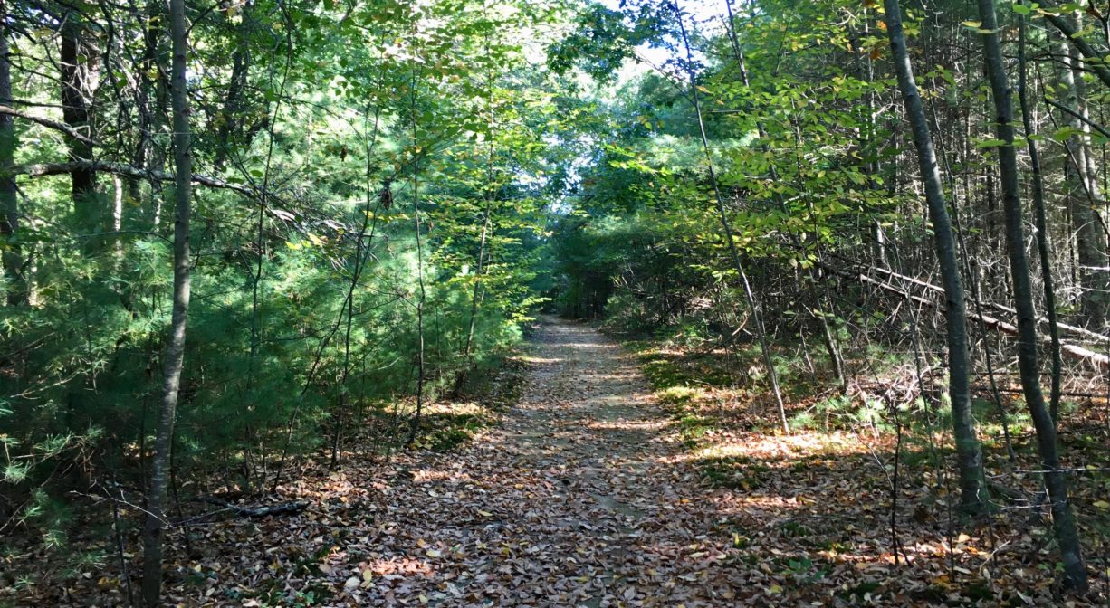
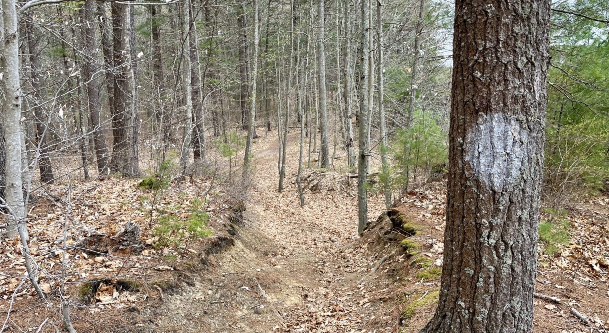
Trail Description
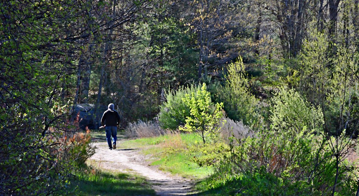
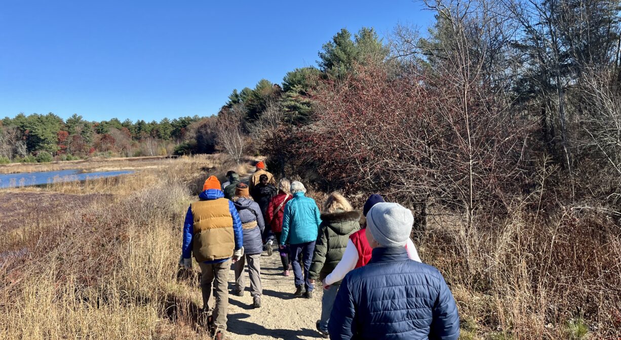
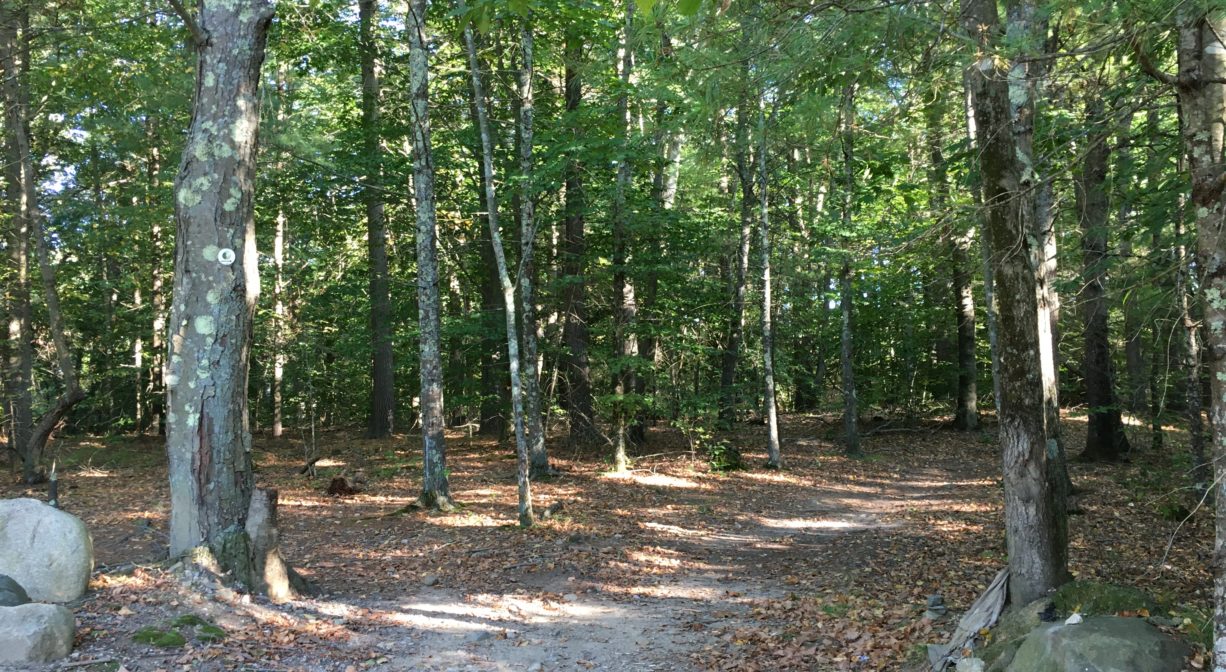
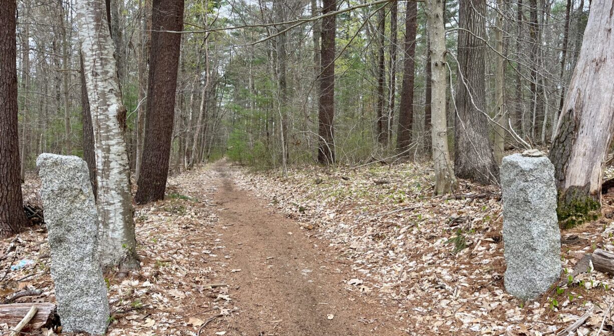
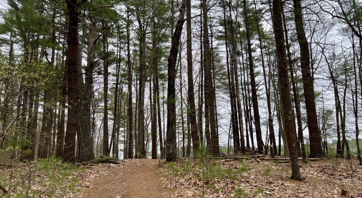
A network of wide, flat dirt roads surrounds this retired cranberry bog, now returning to its natural state. Access from Indian Head Pond, at the Marcus L. Urann Fisherman’s Landing, off Route 58 (approx. 364 Indian Head Street). A Colonial-era cart path leads through the Sleeper Conservation Area to private property. In the future, watch for an additional loop trail through the Sleeper Conservation Area.
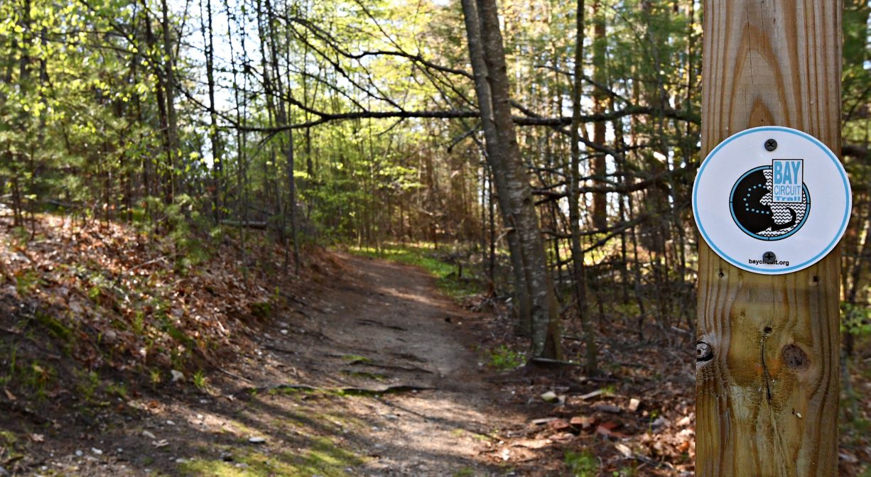
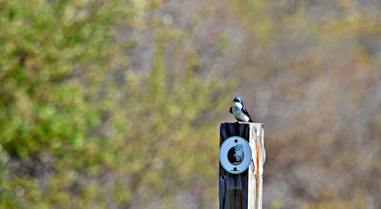
For additional access, look for the stone gatehouse on Camp Kiwanee Road, which marks another trailhead. There are also some spur trails into the woods that connect to Camp Kiwanee and the J. J. Shepherd Town Forest/Pembroke Town Forest, as well as Hanson’s Sleeper Conservation Area. Some trails here are part of the larger Bay Circuit Trail, and are marked. The Bay Circuit Trail is 200 miles of linked green space from Plum Island in Newburyport to Bay Farm in Duxbury. This particular section is known as the Mattakeeseett Path.
Habitats and Wildlife
Sleeper Conservation Area is a pine forest with some beech, oak, maple, and birch. It helps protect the water quality of Great Sandy Bottom Pond and Furnace Pond, nearby (both are public drinking water supplies).
The headwaters of Indian Head Brook are located on the Alton Smith Reserve property. The brook originates in Maquan Pond, and flows south to Indian Head Pond, then northwest to Wampatuck Pond and Little Cedar Swamp. It continues north to the Indian Head/Drinkwater River.
The Indian Head River forms the boundary between Hanover and Hanson, and merges with Pembroke’s Herring Brook, a short distance downstream of Ludden’s Ford Park, to form the North River at a spot called The Crotch. The North River flows 12 miles through Pembroke, Hanover, Norwell, Marshfield and Scituate, eventually making its way to Massachusetts Bay and the Atlantic Ocean.
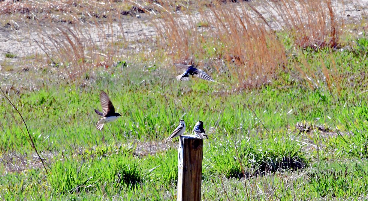
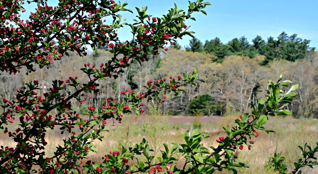
The woods surrounding the retired cranberry bog are primarily pine, with some birch and oak. Maple trees have begun to take over some of the bog areas. This is an excellent spot for birding.


Historic Site: No
Park: No
Beach: No
Boat Launch: Yes
Lifeguards: No
Size: 116 acres
Hours: Dawn to Dusk
Parking: Access via the Marcus Urann Fisherman's Landing at approx. 364 Indian Head Street (Route 58) in Hanson. Follow the unpaved road to the parking area. Additional access and parking at Cranberry Cove on Maquan Pond. Very limited handicapped access and parking is available at the 580 Maquan Street entrance to Sleeper Conservation Area. Please respect private property and do not block the right of way!
Cost: Free
Trail Difficulty: Easy
Facilities:
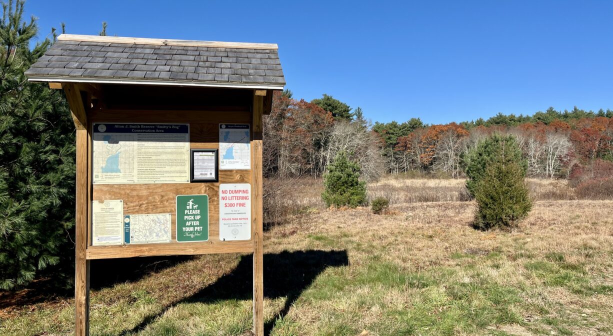
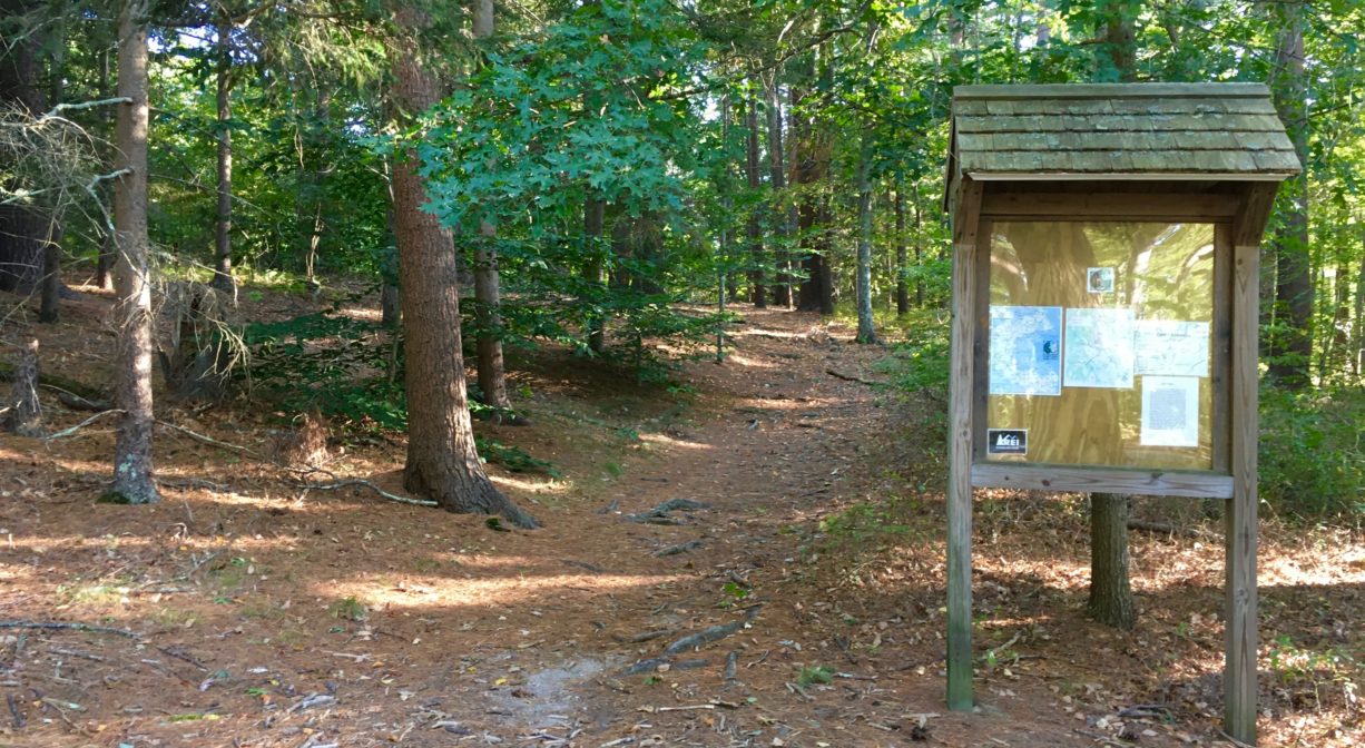
Informational kiosk at Indian Head Pond. Launching ramp for car-top boats on Indian Head Pond. Geocache location.
Dogs: Dogs must remain on leash. Always clean up after your dog!
Boat Ramp: Yes
ADA Access: No
Scenic Views: Yes
Waterbody/Watershed: Indian Head Brook (North River watershed)