Owned By: Commonwealth of Massachusetts
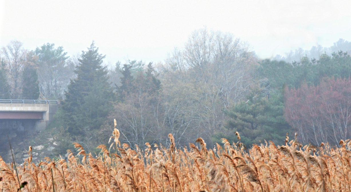
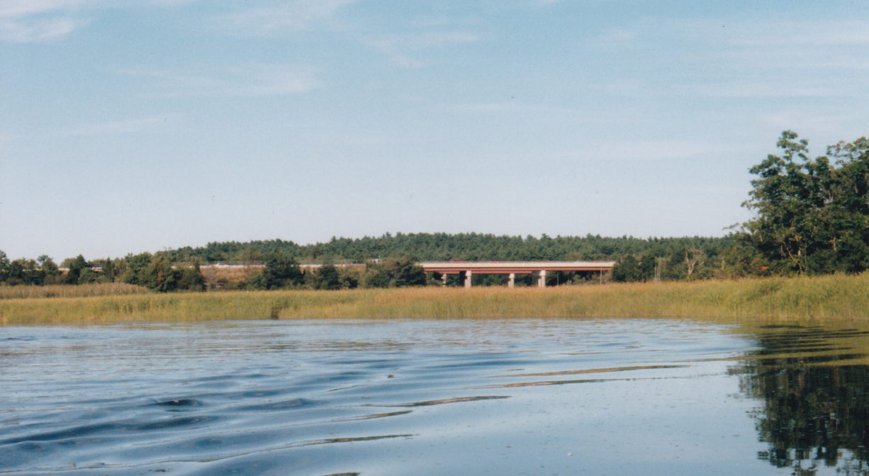
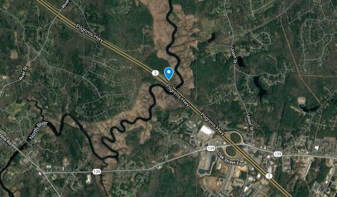
Site of the early Stetson Shipyard. Now the location of the Route 3 bridge over the North River. In earlier times, a prehistoric Native American encampment was location here. Records indicate that the hill was in fact bald, although now it is well-forested. No public access from the land, but the view can be amazing as you drive over the bridge! To set your feet on the ground nearby, visit the Masthead Drive Trail in Norwell, just upstream.
Features
The Stetson Shipyard was located just southwest of the Route 3 bridge, on the Norwell side. It was not included in the iconic Briggs “History of Shipbuilding on North River,” but from Stetson family papers, it is evident that it was an early, busy shipyard.
Benjamin Stetson may have been the original owner. Three generations of Stetsons worked the shipyard, which was eventually taken over by Nathaniel Church, who built vessels here in 1746. The farm and shipyard were eventually sold to Michael Ford, a shipbuilder farther upstream at Fox Hill. Three generations of the Ford Family succeeded him here. Both the Stetson and the Ford shipbuilding enterprises began with small open boats called shallops. Usually about 30 feet in length, these were ideally suited for coastal travel, which was the best way to get around in those days.
Michael Ford was born in Marshfield at Gravelly Beach on the North River. He married Roda Copeland in 1778 and settled on the farm purchased from Ebenezer Stetson. His son Michael succeeded him. Michael Ford Jr. had sons – Michael, William, and David. He died in 1877 at an advanced age.
This land is within the region of the Massachusett (or Massachuseuk) Native American tribe. For thousands of years, the land that today is known as Norwell was inhabited by indigenous people who grew crops, foraged, hunted, and fished in the Assinippi and North River areas. Circa 1617, a major outbreak of disease decimated an estimated 90% of the native population in New England, including the Massachusett and Wampanoag tribes that inhabited the South Shore. There are still descendants of these original inhabitants living here today. They are known as the Mattakeesett Tribe of the Massachusett Indian Nation , the Massachusett Tribe at Ponkapoag, and the Mashpee Wampanoag tribe.
Trail Description
No trails, but very close by is the Masthead Drive Trail, which extends through the woods for 0.4-mile, ending at the North River, just west of the Route 3 Bridge.
Habitats and Wildlife
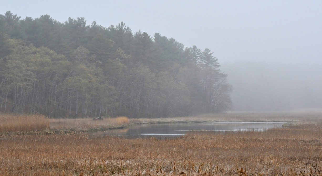
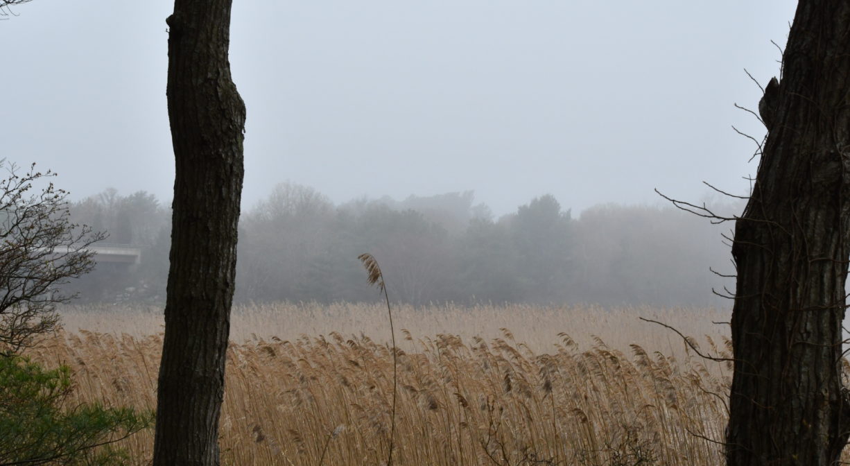
Swamp and woodland have taken over the land once cleared for agriculture and shipbuilding.
This property is located directly on the North River. The North River rises from marshes and springs in Weymouth, Rockland and Hanson. It is approximately 10 miles in length, with its source at the confluence of the Indian Head River (Hanover) and Herring Brook (Pembroke). From there it flows through the towns of Hanover, Pembroke, Marshfield, Norwell, and Scituate to the Atlantic Ocean between Third and Fourth Cliffs, draining approximately 59,000 acres along the way.
Historic Site: Yes
Park: No
Beach: No
Boat Launch: No
Lifeguards: No
Hours: Dawn to Dusk
Parking: View from the water only. No public parking or access.
Dogs: No
Boat Ramp: No
ADA Access: No
Scenic Views: Yes
Waterbody/Watershed: North River