
2 Bates Ln, Scituate, MA 02066, USA
https://www.scituatema.gov/conservation-commission/pages/conservation-land
Owned By: Town of Scituate
The Bates Lane Conservation Area is a 335-acre property with several miles of woodland trails. Its features include old stone walls, glacial erratic boulders, and a bridge over a babbling brook. One trail links directly to Higgins-MacAllister Preserve.
HUNTING: Hunting is allowed, in season, by licensed persons in compliance with Massachusetts law. Please be sure to understand state and local hunting guidelines before proceeding. Non-hunters, be mindful of hunting seasons, and wear bright orange if you’re entering the property during those times. Hunting is not permitted on Sundays. Bear in mind that the Scituate Rod & Gun Club is nearby: visitors may hear the firing of guns.
While you’re in Scituate’s West End neighborhood, also check out the Damon Preserve, and the Crosbie Family Preserve / Appleton Field.
Features
This land is within the region of the Massachusett (or Massachuseuk). To learn more about local tribes, we encourage you to interact with their members. The Mattakeeset band of the Massachusett, and the Massachusett tribe at Ponkapoag, both share information on their websites.
Before 1831, this land was used primarily for agriculture. The forest that is now present probably began growing in the 1850s. Old stone walls reveal property boundaries from the past. While much of the eastern white pine that grew here a century ago was cut and sold for lumber, there are still a few very large, very old pine and beech trees along the trails.
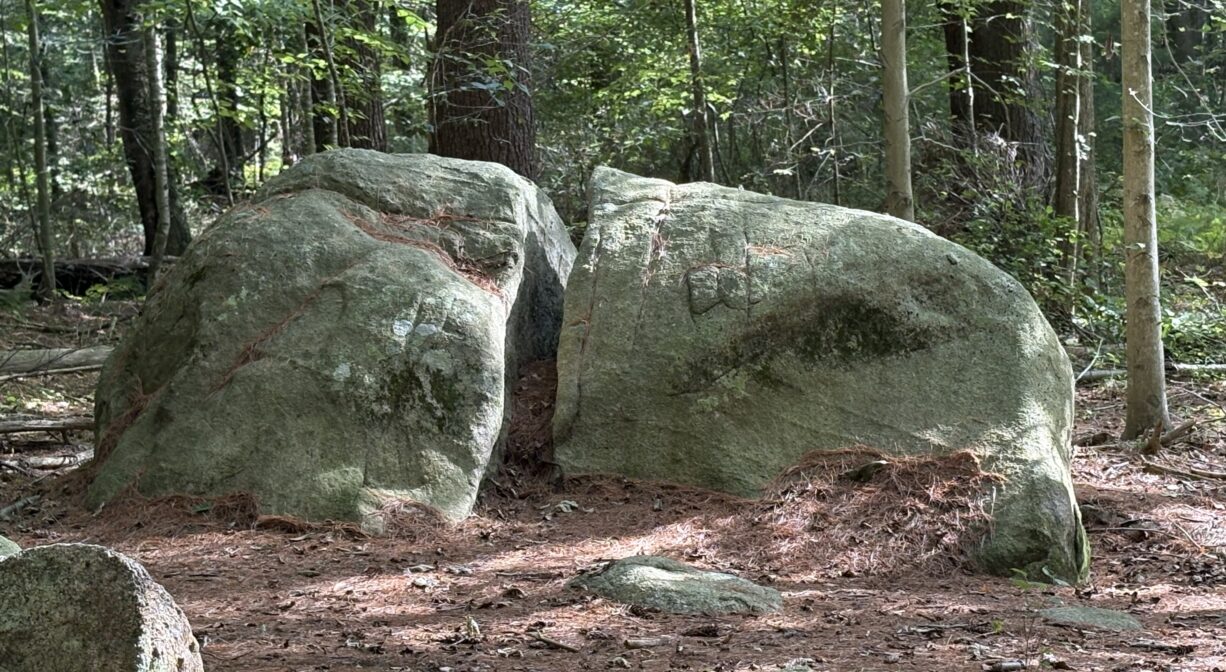
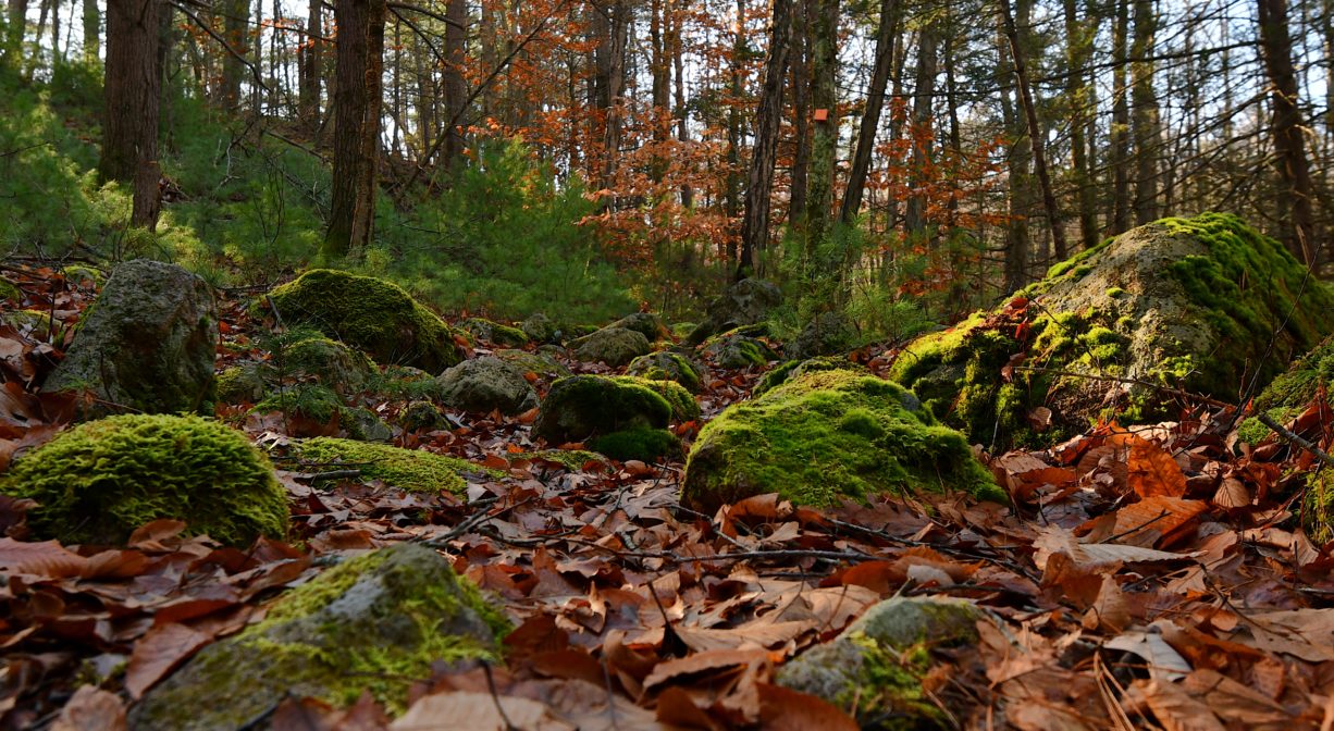
Going back even farther in time, Teepee Rock, on the (orange) Maxwell Trail, is a 430 million-year-old outcropping of Avalon granite. An unnamed stream flows past it. This is one of the most captivating spots on the property! Also along the Maxwell Trail, as well as the Carl Pipes Trail (blue), there are numerous glacial erratic boulders, deposited during the Wisconsin Glaciation, the most recent period of the Ice Age (10,000 years ago).
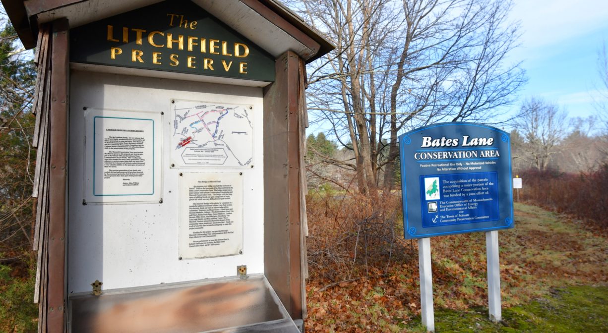
In the early 2000s, the Maxwell Conservation Trust began acquiring land in Scituate’s West End. These acquisitions enabled the town to later purchase the properties on a more favorable timeline. All of the Maxwell Trust’s land was eventually transferred to the town for conservation, thanks to Community Preservation Act funds.
Motorized vehicles are prohibited, as is the alteration of trails or other aspects of the property.
Trail Description
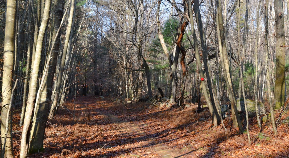
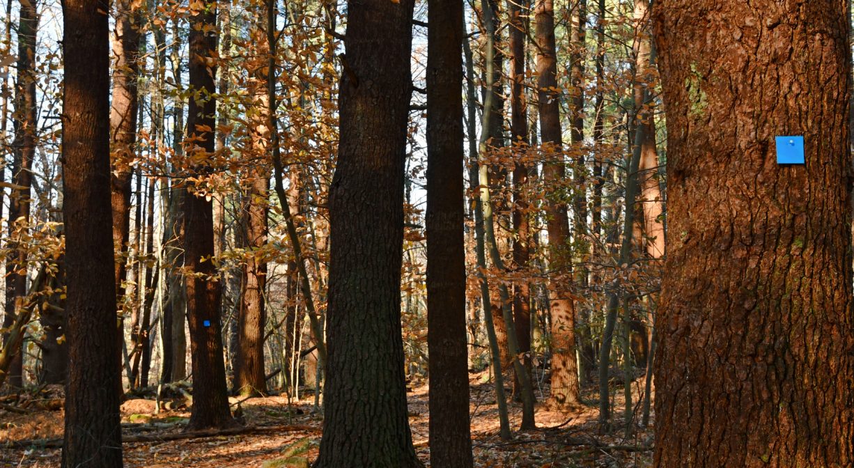
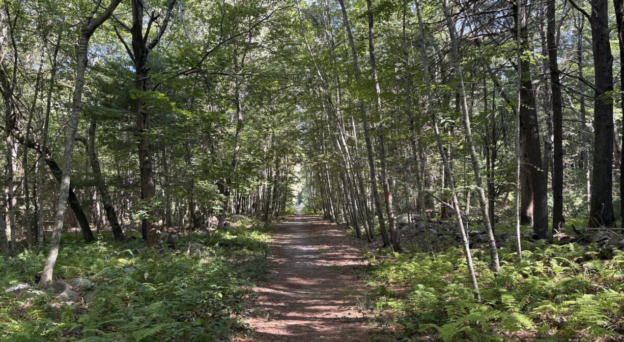
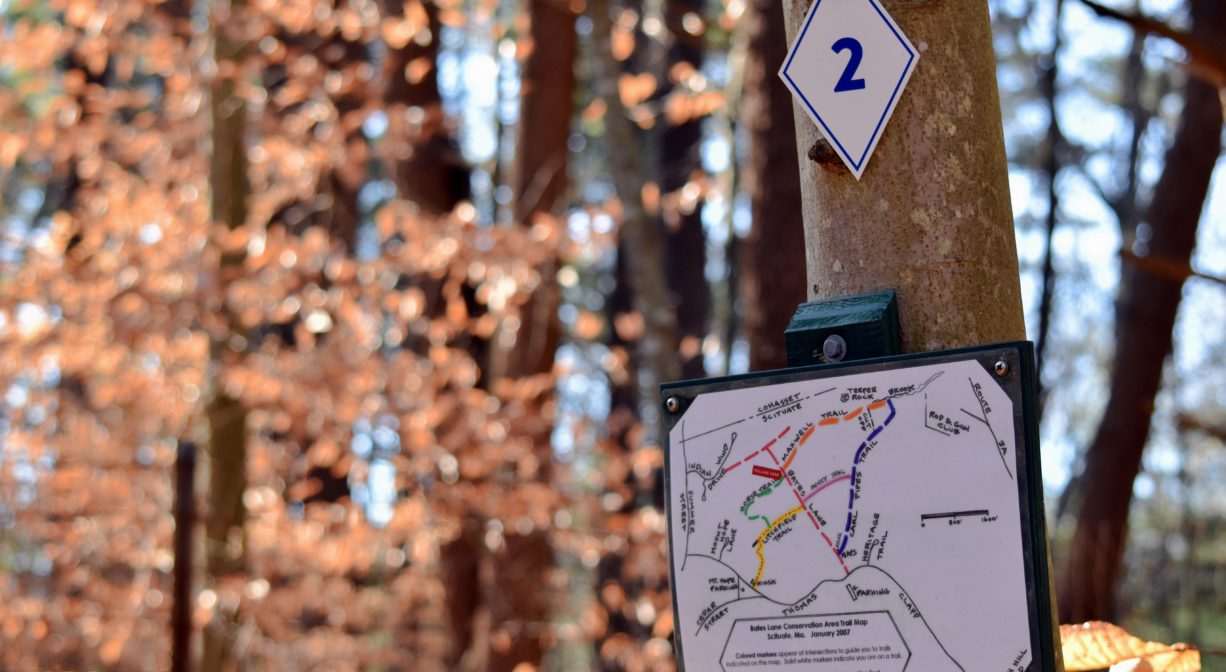
The parking area at the end of Bates Lane puts you in the heart of the property. You can explore trails in all directions. These are well-marked and well-maintained trails. Every important intersection is numbered, and many also feature “You Are Here” location maps. Don’t miss Boulder Valley — it is especially captivating! Seven color-coded trails form a large loop with options for shorter or longer hikes. Download the map for guidance. For a longer hike, continue to the Higgins-MacAllister Preserve, immediately adjacent, via the Carl Pipes Trail.
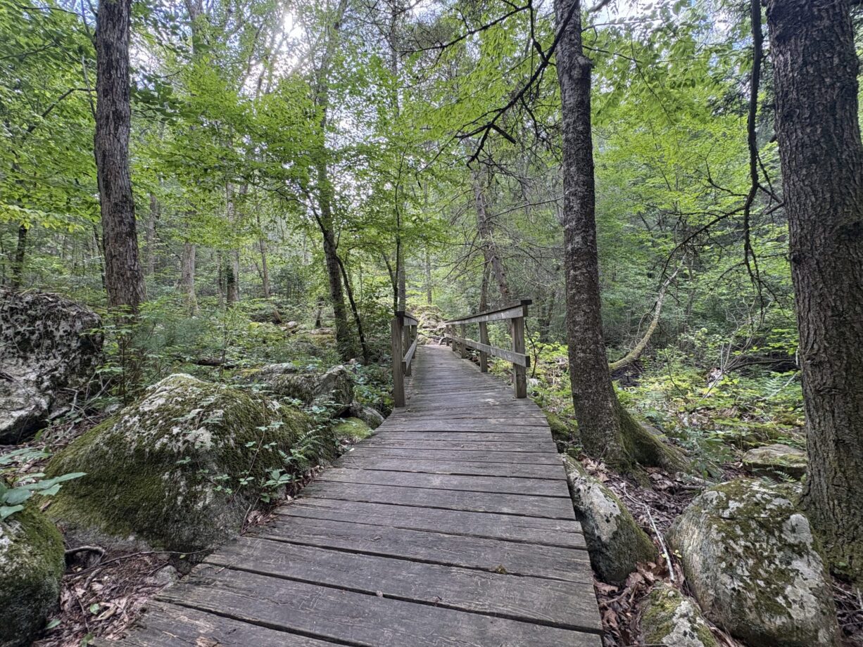
Some of the trails are wide and flat. Others are more narrow and rugged, with occasional climbs and descents. There is a 40-foot bridge that traverses the wetlands near Teepee Rock.
Habitats and Wildlife
The streams within the Bates Lane Conservation Area flow to Merritt Brook, which runs through the adjacent Higgins MacAllister Preserve. Merritt Brook is a headwater stream for the watershed of Bound Brook and the Aaron River. Bound Brook flows into the Gulf River, which continues to Cohasset Harbor. There are five Certified Vernal Pools on the property — seasonal wetlands that support species such as wood frogs, spring peepers, and salamanders.
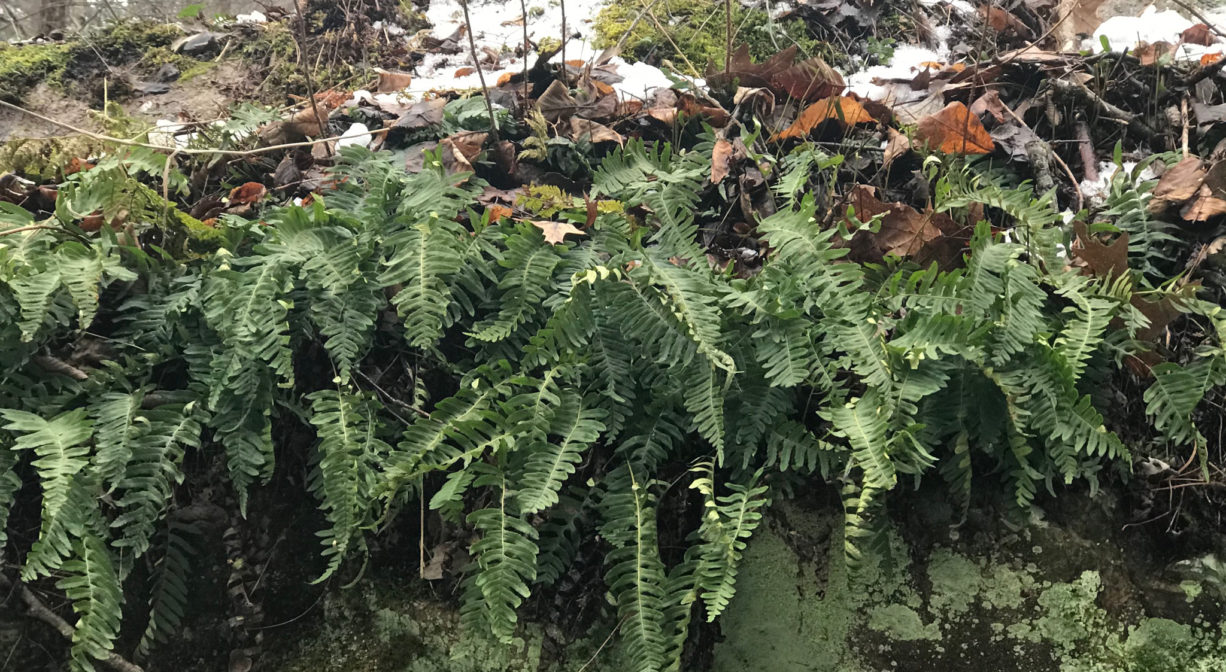
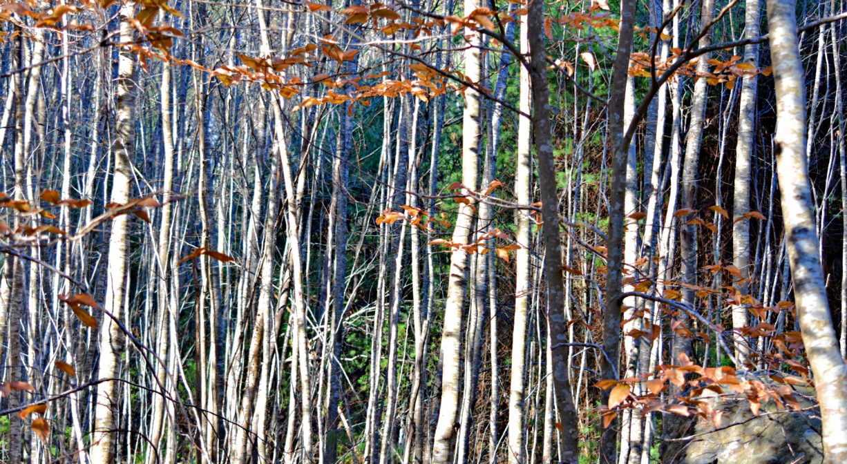
The forest is primarily pine with a healthy number of hardwoods, including beech and oak, plus some eastern hemlock. Especially along the Carl Pipes Trail, there is a substantial amount of American holly. The wetlands are composed primarily of red maple and yellow birch. At Teepee Rock, be sure to observe the Polypodiales ferns, an unusual sight in our local conservation lands The section of the property known as Luther’s Pit was home to a sand and gravel pit. Because excavation at this spot went deeper than the water table, this is a good place to observe a successional forest and wetlands. Overall, the property is a mix of uplands and wetlands. In the pine forest, listen for American robins, mourning doves, northern bobwhite, and pine grosbeaks. You may also see red crossbills, ruffed grouse and turkeys. Small mammals include cottontail rabbits, gray foxes, and porcupines. Watch for deer too.
The overpopulation of deer, and their appetite for shrubs and other plant life within the Bates Lane Conservation Area, is diminishing the diversity of the woodland.


Historic Site: No
Park: No
Beach: No
Boat Launch: No
Lifeguards: No
Size: 335 acres
Hours: Dawn to Dusk
Parking: Limited on-site parking at the end of Bates Lane. Additional parking at the Mount Hope Improvement Society, at the corner of Cedar Street and Thomas Clapp Road, Scituate.
Cost: Free
Trail Difficulty: Easy, Medium
Facilities:
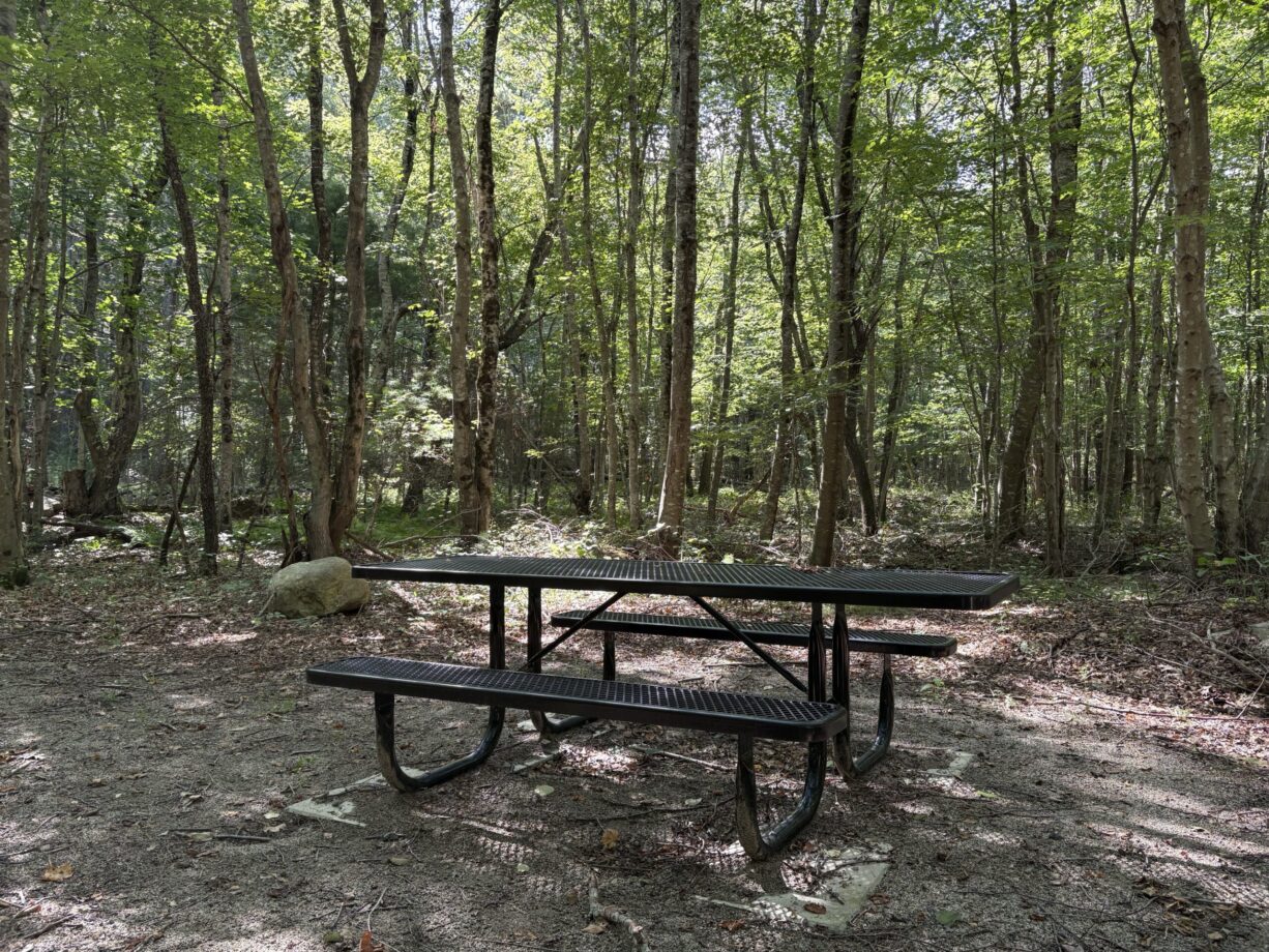
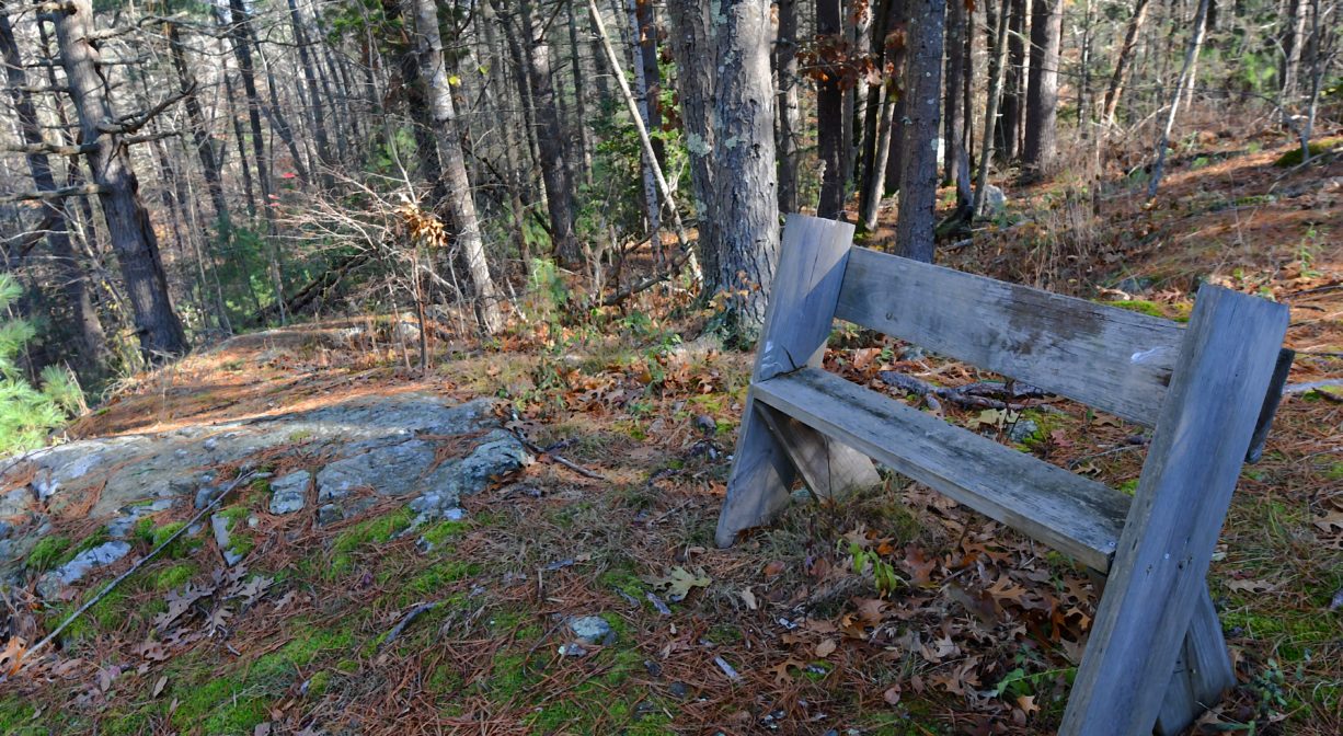
Benches, kiosks, picnic table. Geocache location.
Dogs: Dogs must remain on leash and waste must be picked up.
Boat Ramp: No
ADA Access: No
Scenic Views: Yes
Waterbody/Watershed: Merritt Brook (Gulf River watershed) and First Herring Brook (North River watershed)