
Scituate Conservation: 781-545-8721
Owned By: Town of Scituate
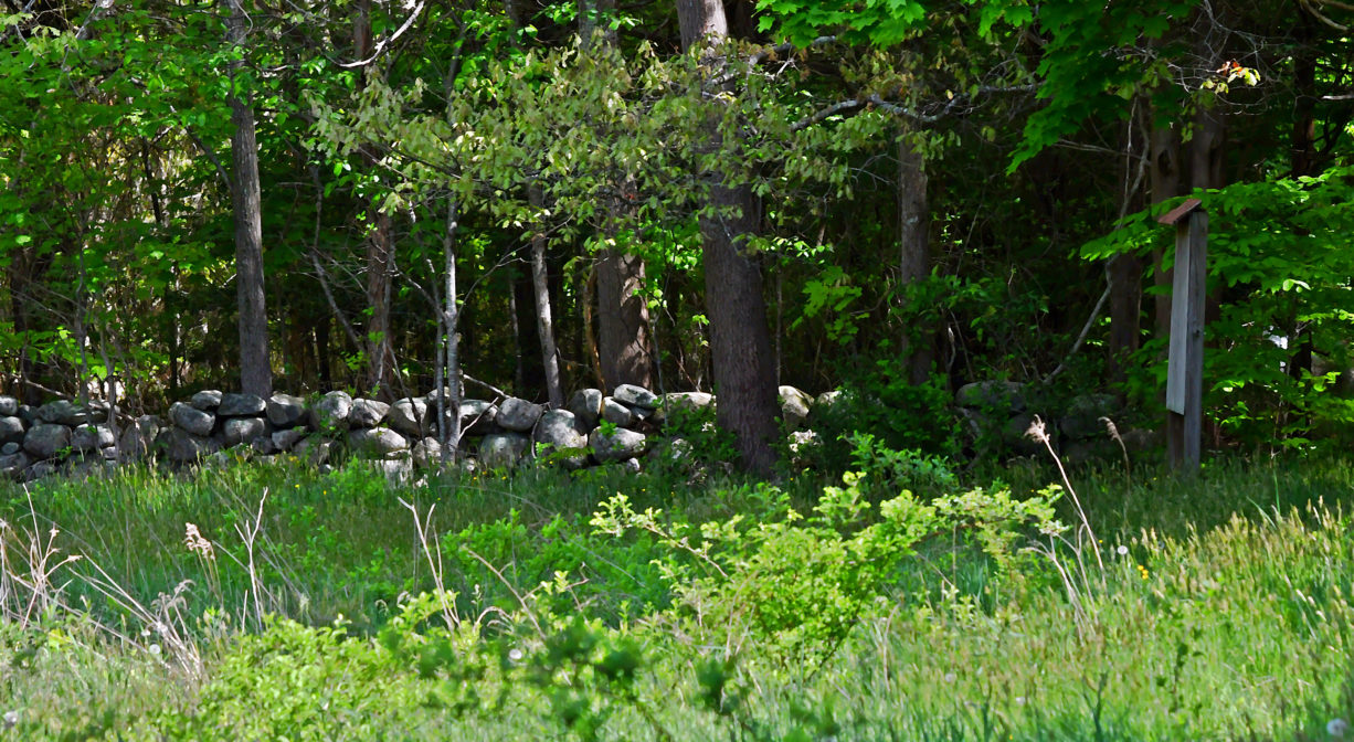
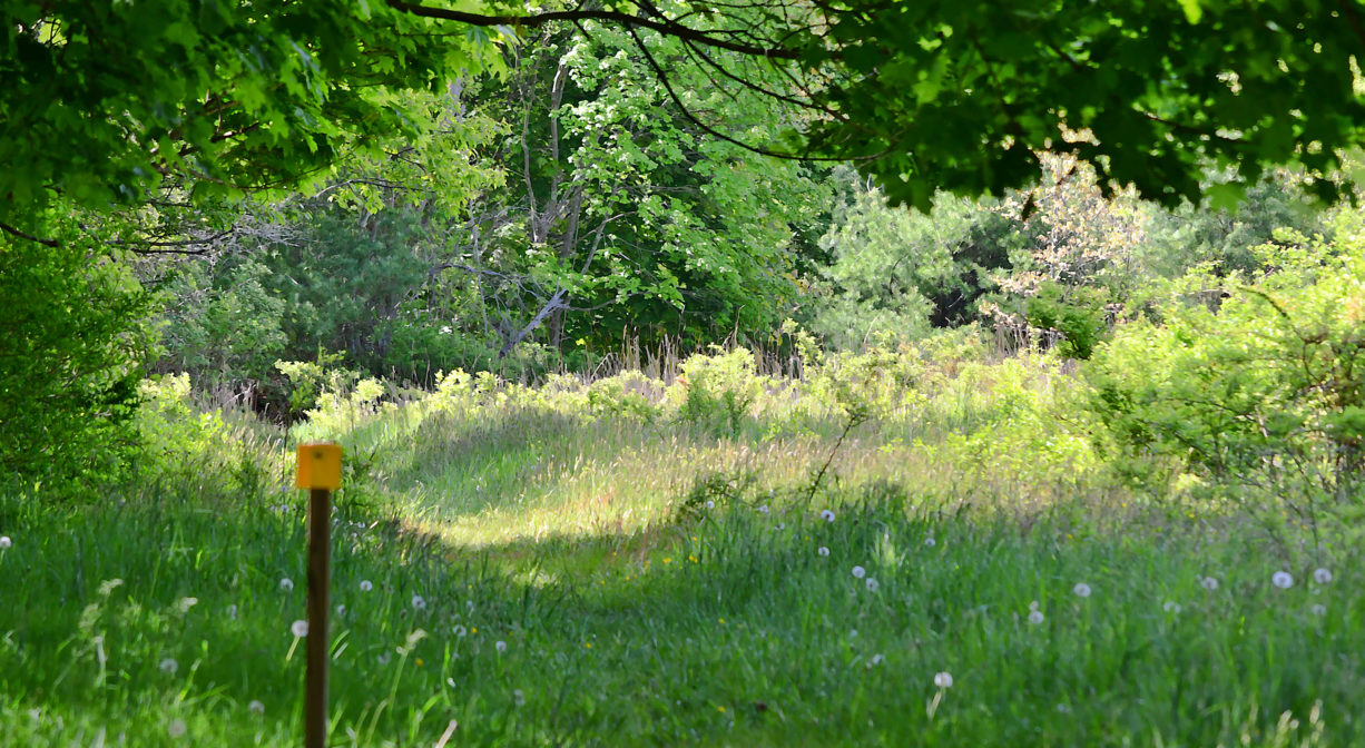
Scituate’s Crosbie Family Preserve and Appleton Field are adjacent properties with several intersecting loop trails through 49 acres of fields, woodlands and wetlands, with numerous stone walls. The preserve is situated on a glacial drumlin. Appleton Field stands at its center, and South Swamp wraps around it.
HUNTING: Hunting is allowed, in season, by licensed persons in compliance with Massachusetts law. Please be sure to understand state and local hunting guidelines before proceeding. Non-hunters, be mindful of hunting seasons, and wear bright orange if you’re entering the property during those times. Hunting is not permitted on Sundays.
While you’re in Scituate’s West End, also check out the Bates Lane Conservation Area, the Higgins-MacAllister Preserve, and the Damon Preserve.
Features
This property includes the Crosbie Preserve (39 acres, acquired in 2011) and Appleton Field (10 acres, acquired in 2003 ). Look for rock piles on the west side of Appleton Field, set aside after the field was cleared for agriculture. Also to the west of the field, in the woods, there is an abandoned car.
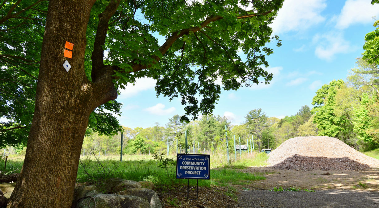
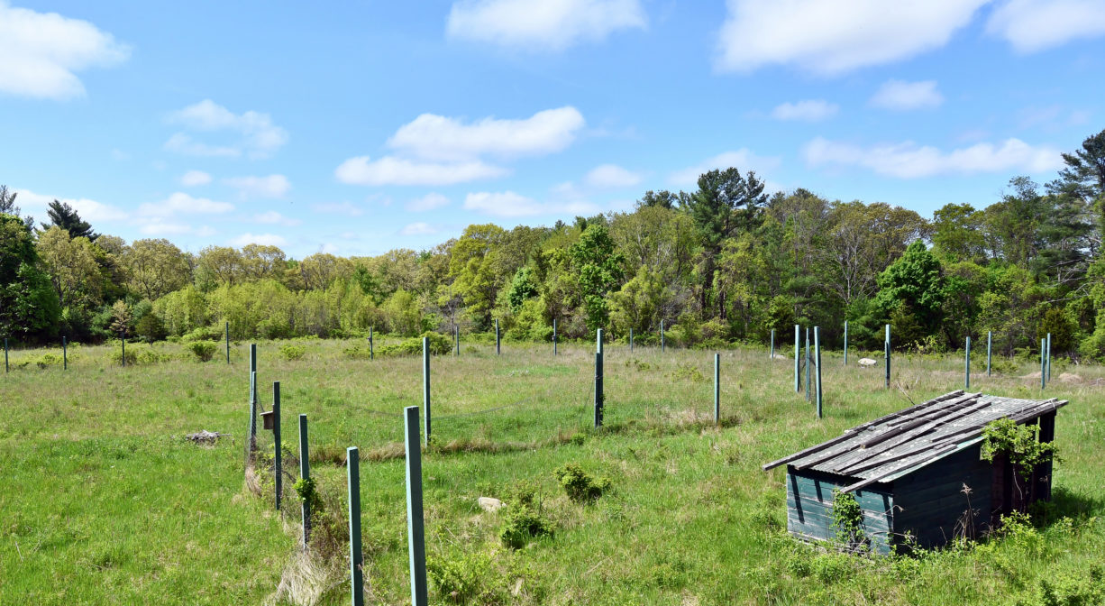
Five acres of Appleton Field are sometimes available for lease to local farmers for agricultural use. The field is named for its donor, Mrs. Appleton. CPA funds made these land acquisitions possible. Future plans include an organic community garden, the use of regenerative farm practices, and programming for outdoor education, ecology classes, garden clubs, school and homeschool groups, camps, and more.
This land is within the region of the Massachusett (or Massachuseuk). To learn more about local Native American tribes, we encourage you to interact with their members. The Mattakeeset band of the Massachusett, and the Massachusett tribe at Ponkapoag, both share information on their websites.
Trail Description
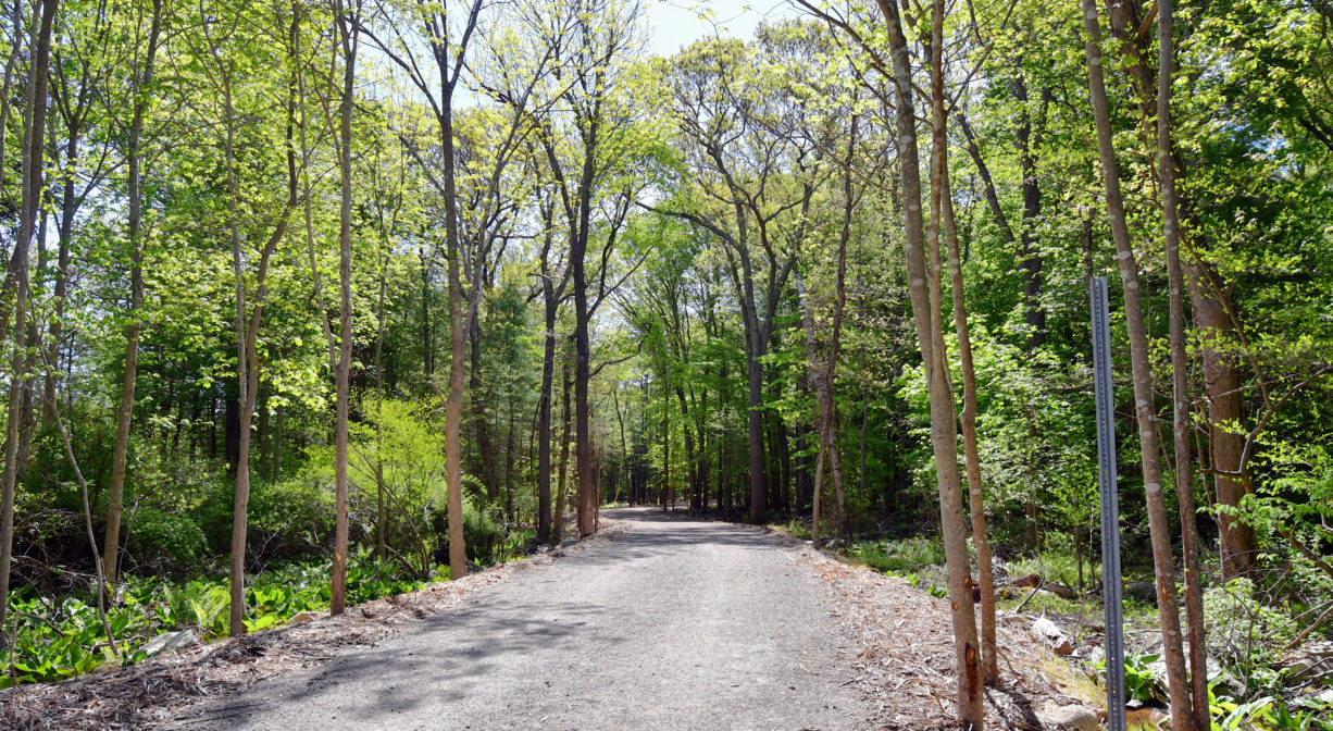
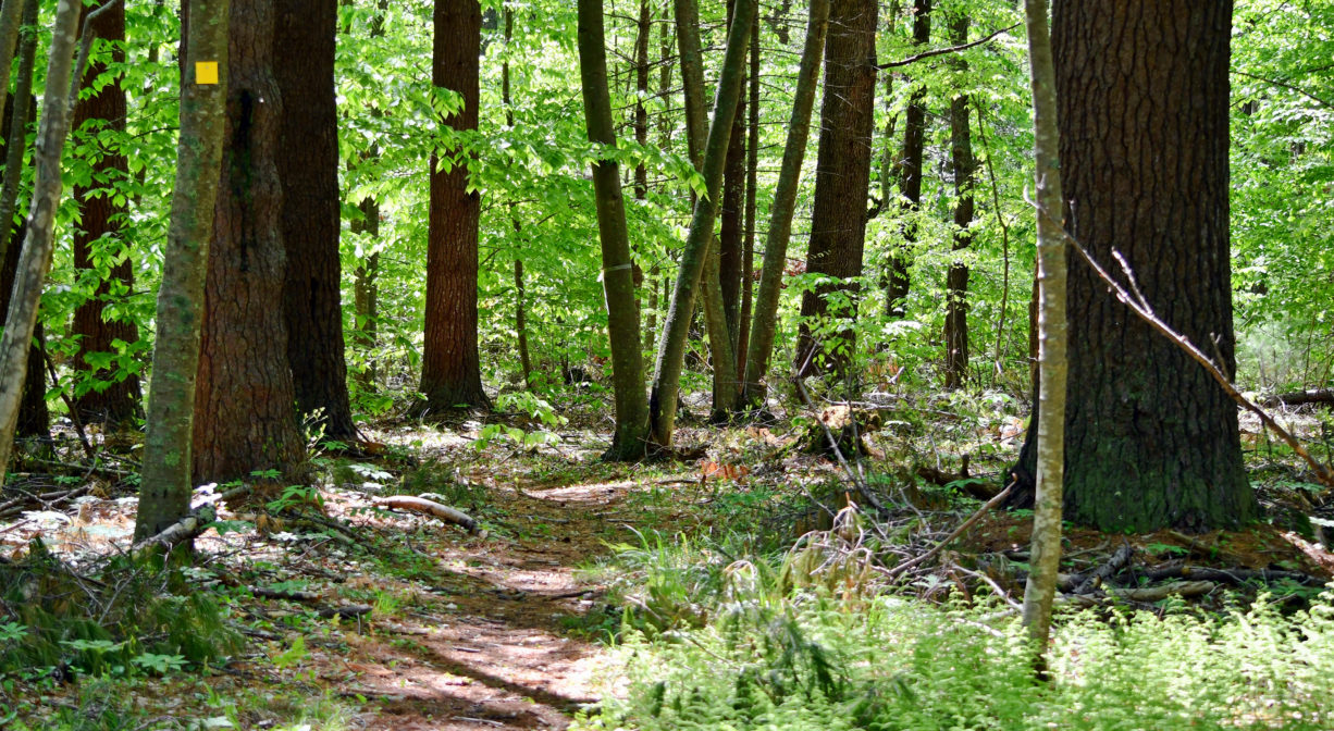
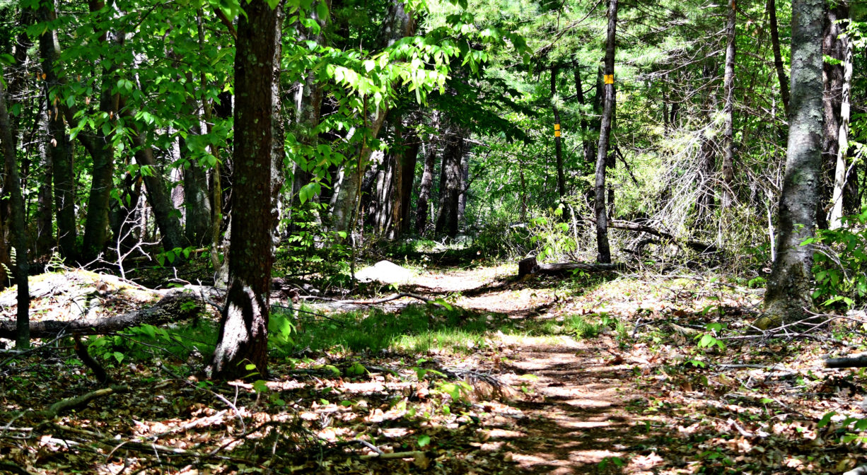
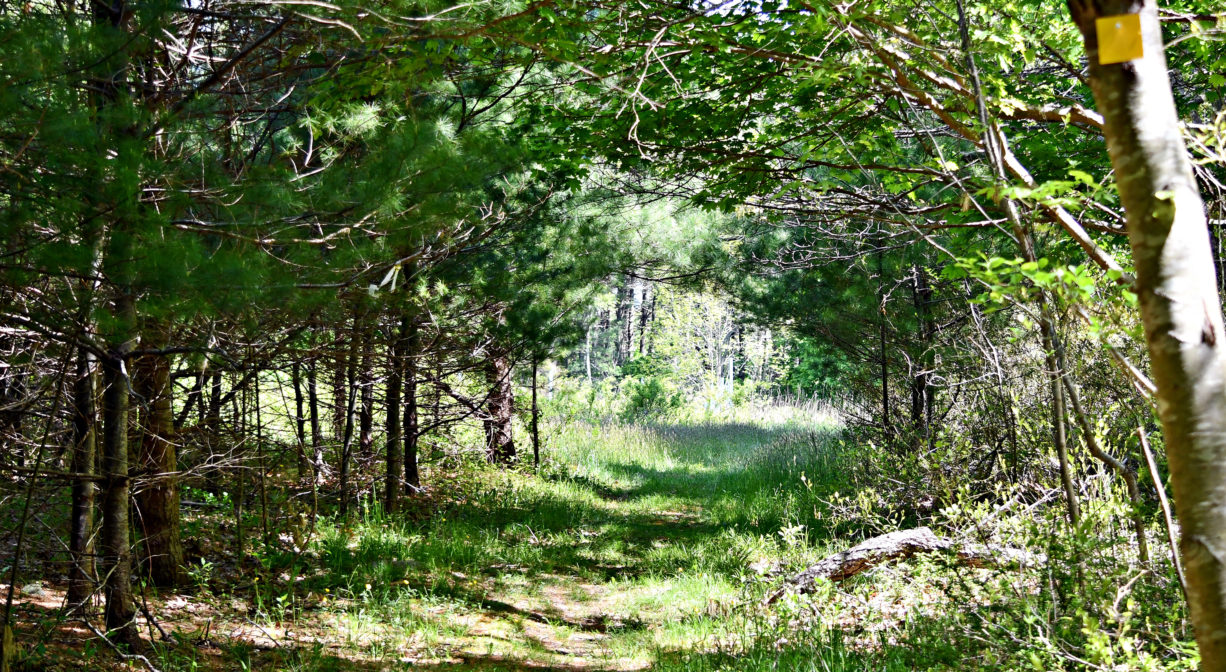
The orange trail, which extends along the perimeter of the property, features a large loop connecting the upland areas and South Swamp. Shorter trails marked in yellow, green and white, interconnect in the interior of this loop. The blue trail provides pedestrian access from Clapp Road to the orange loop. Old cart roads are still in place from the time when trees were harvested from the upland area.
Habitats and Wildlife
The Crosbie property is located on a glacial drumlin (mound) with Appleton Field roughly at its center. The orange trail features mixed pine and hardwood forests, plus wetlands. In the outlying swamp areas, look for moss-covered rocks and boulders. Trees present here include black oak, holly, white pine, red maple, and American beech, plus an occasional hemlock, tupelo, and Atlantic White Cedar. Don’t miss the unusual and somewhat rare Atlantic white cedar at the edge of the swamp along the Orange Trail (noted by a white trail marker).
South Swamp forms the headwaters of three sub-watersheds. To the northwest is Aaron Brook, which flows into Bound Brook. Merritt Brook, a tributary to Bound Brook, emanates from the northeast corner of South Swamp and flows through the Higgins-MacAllister Preserve, parallel to Booth Hill Road. First Herring Brook flows south out of South Swamp, crosses First Parish Road, and through the former Damon Pond; then through Tack Factory Pond to form Herring River in the North River Estuary.


Historic Site: No
Park: No
Beach: No
Boat Launch: No
Lifeguards: No
Size: 49 acres
Hours: Dawn to Dusk
Parking: The Crosbie Preserve access-road entrance is located just east of 253 Clapp Road; this leads to a multicar parking area directly adjacent to Appleton Field. There is also a 2-car parking area on Clapp Road.
Cost: Free
Trail Difficulty: Easy, Medium
Facilities:
Geocache location.
Dogs: Dogs must remain on leash. Please clean up after your pet!
Boat Ramp: No
ADA Access: No
Scenic Views: Yes
Waterbody/Watershed: Merritt Brook (Gulf River watershed) and First Herring Brook (North River watershed)