
67 Clapp Rd, Scituate, MA 02066, USA
Scituate Conservation: 781-545-8721
Owned By: Town of Scituate
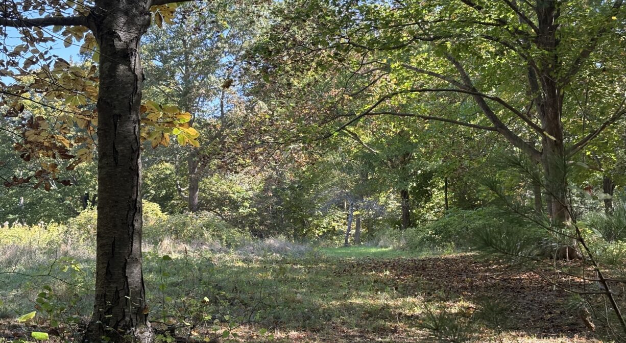
The 37-acre Damon Preserve in Scituate features 1.2 miles of woodland trails, numerous stone walls, and glimpses of open fields, plus occasional glacial erratics. It is located in Scituate’s West End, on the south side of Clapp Road, just east of Booth Hill Road.
HUNTING: Hunting is allowed, in season, by licensed persons in compliance with Massachusetts law. Please be sure to understand state and local hunting guidelines before proceeding. Non-hunters, be mindful of hunting seasons, and wear bright orange if you’re entering the property during those times. Hunting is not permitted on Sundays.
Also consider visiting the following properties nearby: Bates Lane Conservation Area, the Higgins-MacAllister Preserve, and the Crosbie Family Preserve / Appleton Field.
Features
This property opened to the public in 2022. It was purchased with Community Preservation funds, through the Maxwell Land Trust. The land parcels were assembled by Roger Damon, in memory of his grandson, David William Damon. The land was transferred to the Maxwell Trust by Deb Damon Bartlett and then, in turn, to the Town of Scituate. Formerly a tree farm, and prior to that, the residence of Elmer Ramsdell.
This land is within the region of the Massachusett (or Massachuseuk). To learn more about local Native American tribes, we encourage you to interact with their members. The Mattakeeset band of the Massachusett, and the Massachusett tribe at Ponkapoag, both share information on their websites.
Trail Description
From the parking area, you can quickly access the intersecting yellow (0.75) and orange (0.3 mile) trails. If you begin your walk on the orange trail, you can follow it in a horseshoe-shaped loop to its next intersection with the yellow trail. Turn left here (marker #3), and follow the yellow trail for more than a half mile. It eventually crosses a cart path (marker #4) and continues to the parking area. This leaves one small section of yellow trail still to explore (between markers #1 and #3).
Habitats and Wildlife
The Damon Preserve is located on the side of a drumlin hill, at the edge of South Swamp. There are numerous stone walls on the property, as well as a few glacial erratics and a lot of fern and moss. The forest is primarily pine, oak, beech, birch, and maple, with a few stands of holly. Look for princess pine too.
South Swamp forms the headwaters of three sub-watersheds. To the northwest is Aaron Brook, which flows into Bound Brook. Merritt Brook, a tributary to Bound Brook, emanates from the northeast corner of South Swamp and flows through the Higgins-MacAllister Preserve, parallel to Booth Hill Road. Both are part of the Gulf River watershed. In addition, First Herring Brook flows south out of South Swamp, crosses First Parish Road, and flows through the former Damon Pond, then through Tack Factory Pond to form Herring River in the North River estuary.


Historic Site: No
Park: No
Beach: No
Boat Launch: No
Lifeguards: No
Size: 37 acres
Hours: Dawn to Dusk
Parking: Located on the south side of Clapp Road, just east of Booth Hill Road. Look for parking access around #67 Clapp Road.
Cost: Free
Trail Difficulty: Easy, Medium
Dogs: Dogs must remain on leash. Always clean up after your dog!
Boat Ramp: No
ADA Access: No
Scenic Views: Yes
Waterbody/Watershed: Aaron Brook and Merritt Brook (Gulf River watershed), and First Herring Brook (North River watershed)