
Forge Pond Park, 245 King St, Hanover, MA 02339, USA
https://www.hanover-ma.gov/parks-and-recreation/pages/forge-pond-park
Owned By: Town of Hanover
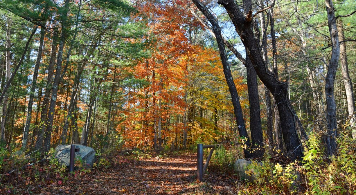
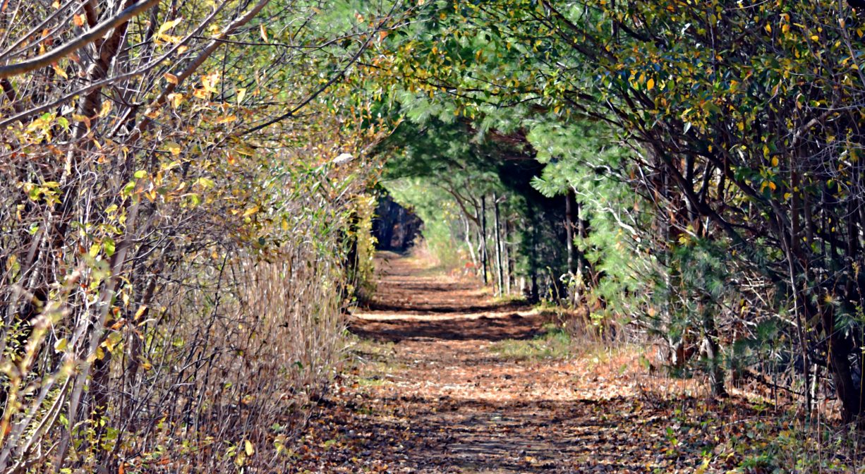
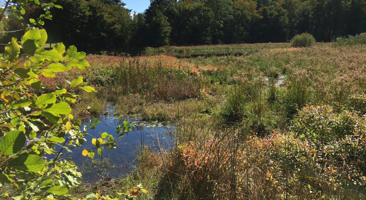
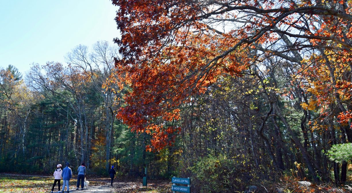
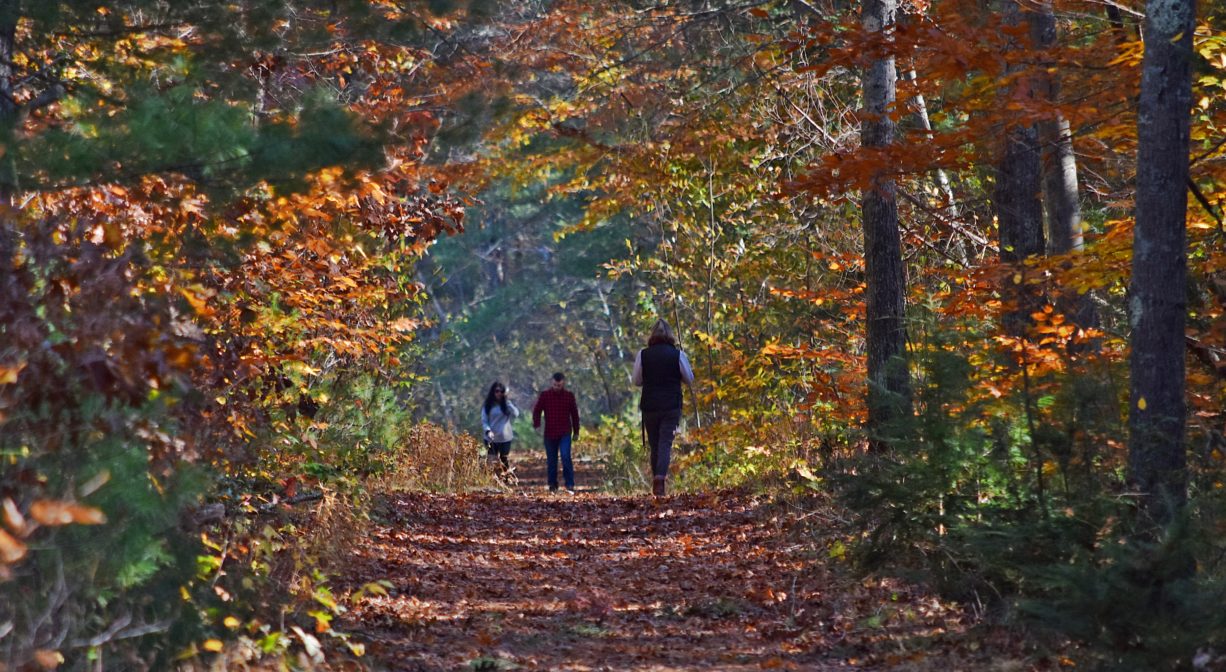
Clark Bog in Hanover features a 1-mile trail network that extends around a former cranberry bog and into a former industrial area. Continue through the woods to the Old Rockland Fireworks Loop. Access from Forge Pond Park in Hanover.
HUNTING: Hunting is allowed, in season, by licensed persons in compliance with Massachusetts law. Please be sure to understand state and local hunting guidelines before proceeding. Non-hunters, be mindful of hunting seasons, and wear bright orange if you’re entering the property during those times. Hunting is not permitted on Sundays. Please note that while hunting is allowed on the Clark Bog property, it is not permitted at the adjacent Forge Pond Park or any of its trails, with the exception of the Summer Street Conservation Lands.
Features
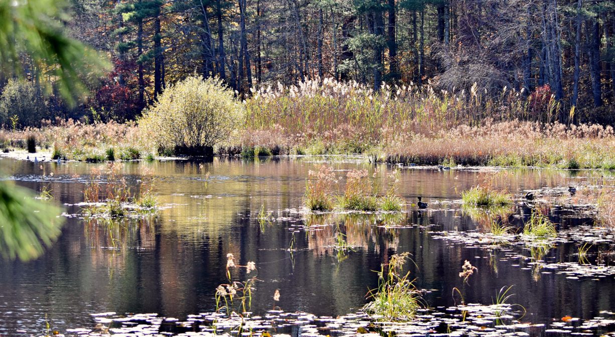
This small network of trails around a former cranberry bog features water views and captivating landscapes, plus a link to the Old Rockland Fireworks Loop Trail.
Please see separate listings for more details on:
• Forge Pond Park
• French’s Stream Trail
• Summer Street Conservation Lands
• Old Rockland Fireworks Loop Trail
This land is within the region of the Massachusett (or Massachuseuk). To learn more about local Native American tribes, we encourage you to interact with their members. The Massachusett tribe at Ponkapoag and the Mattakeeset band of the Massachusett share information on their websites.
Clark Bog lies within the watershed of the Drinkwater River, which flows south through Forge and Factory Ponds. According to Martha Campbell’s Remembering Old Abington, the name “Drinkwater River” is said to be an Anglicized version of the original Native American name for the stream, Nannumackeuitt, “which meant that a hollow stem had to be used as a straw when sucking up water from this shallow, sluggish stream.” However in A Historical Sketch of the Town of Hanover, John S. Barry indicates that the name derives from the occasional of a new sawmill opening a short distance upstream of Forge Pond, near Ellis’s Bridge, after the original mill was burned down in 1676 during King Philips’ War. After “cold water, instead of spirituous liquors, was furnished as a beverage,” the term “Drinkwater” emerged.
Trail Description
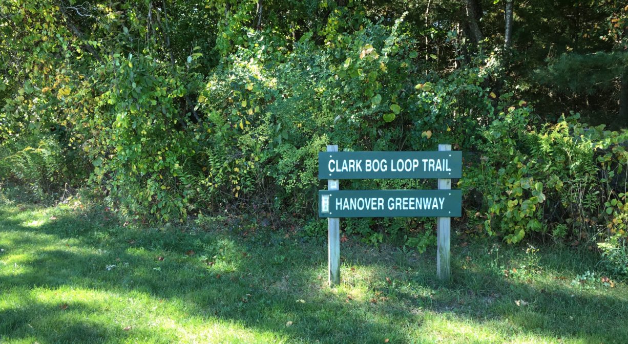
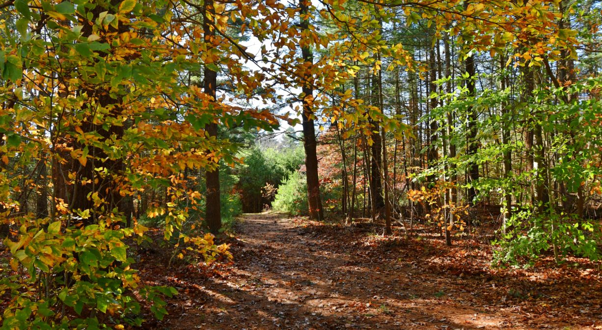
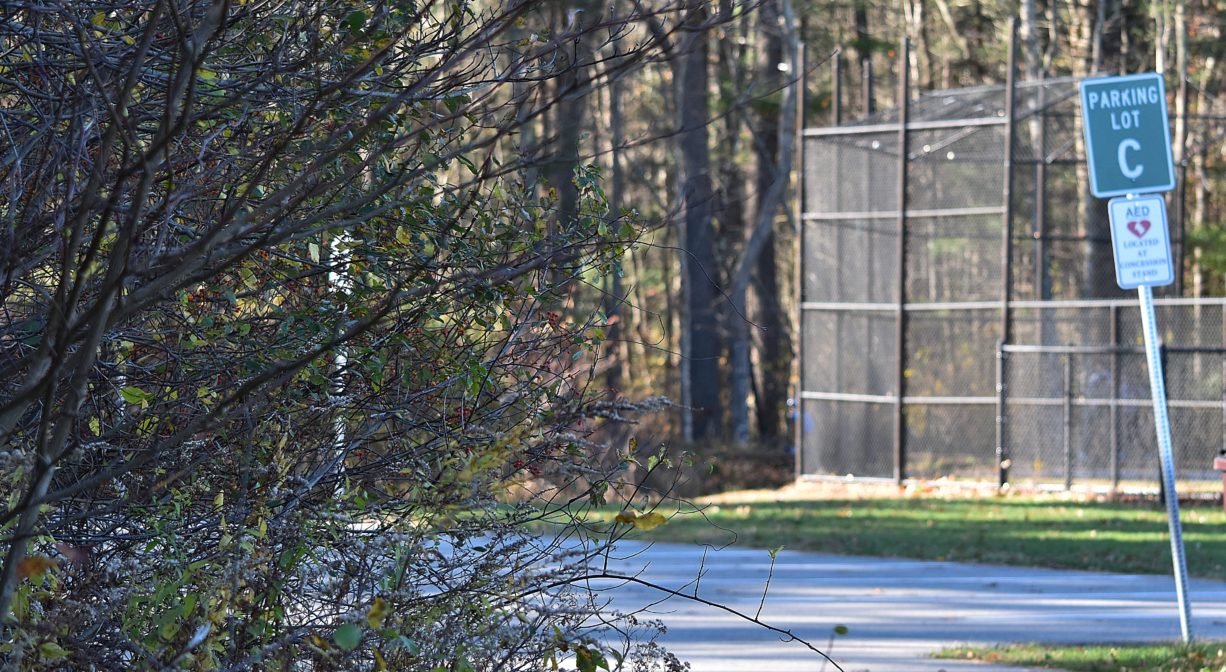
Look for the trailhead at the green Clark Bog sign in Hanover’s Forge Pond Park, near Parking Lot C. There is also access from King Street. Be sure to remain on marked trails (red blazes) and be mindful of Private Property signs. The Hanover Police Department’s Shooting Range is immediately adjacent! A metal gate marks the boundary between the Clark Bog Trail and the Old Rockland Fireworks Loop Trail.
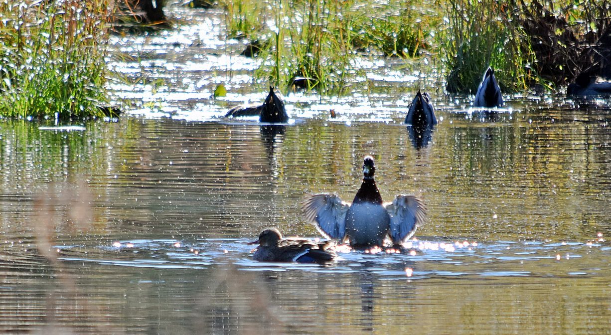
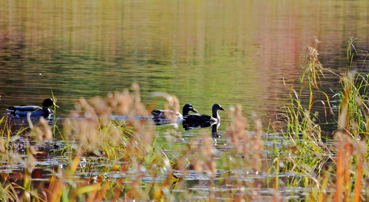
Habitats and Wildlife
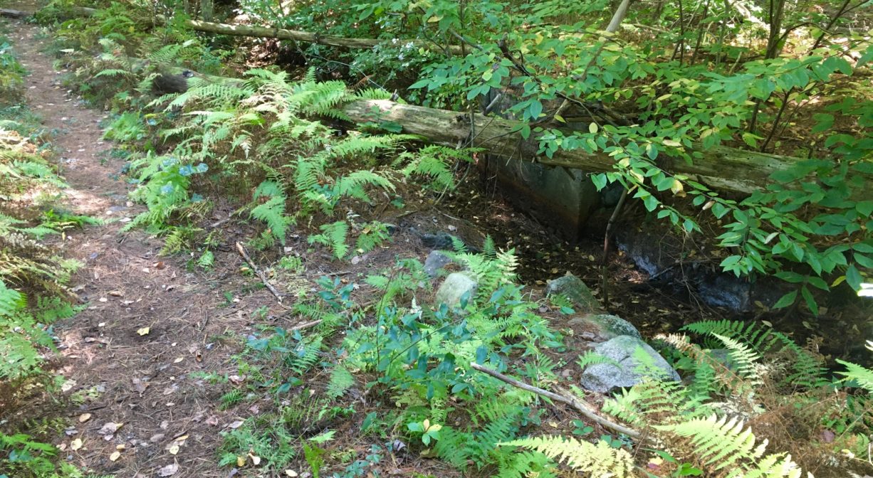
This property used to be a cranberry bog and a fireworks manufacturing site, so it features relatively wide, sandy paths around ponds and wetlands. Of particular interest is the extremely dense new growth of young trees where the cranberries used to grow.
The Indian Head River rises from the Drinkwater River and Factory Pond in West Hanover. It forms the boundary between Hanover and Hanson, and merges with Pembroke’s Herring Brook, a short distance downstream of Ludden’s Ford Park, to form the North River at a spot called The Crotch. The North River flows 12 miles through Pembroke, Hanover, Norwell, Marshfield and Scituate, eventually making its way to Massachusetts Bay and the Atlantic Ocean.
Historic Site: No
Park: No
Beach: No
Boat Launch: No
Lifeguards: No
Size: 70 acres
Hours: Dawn to Dusk
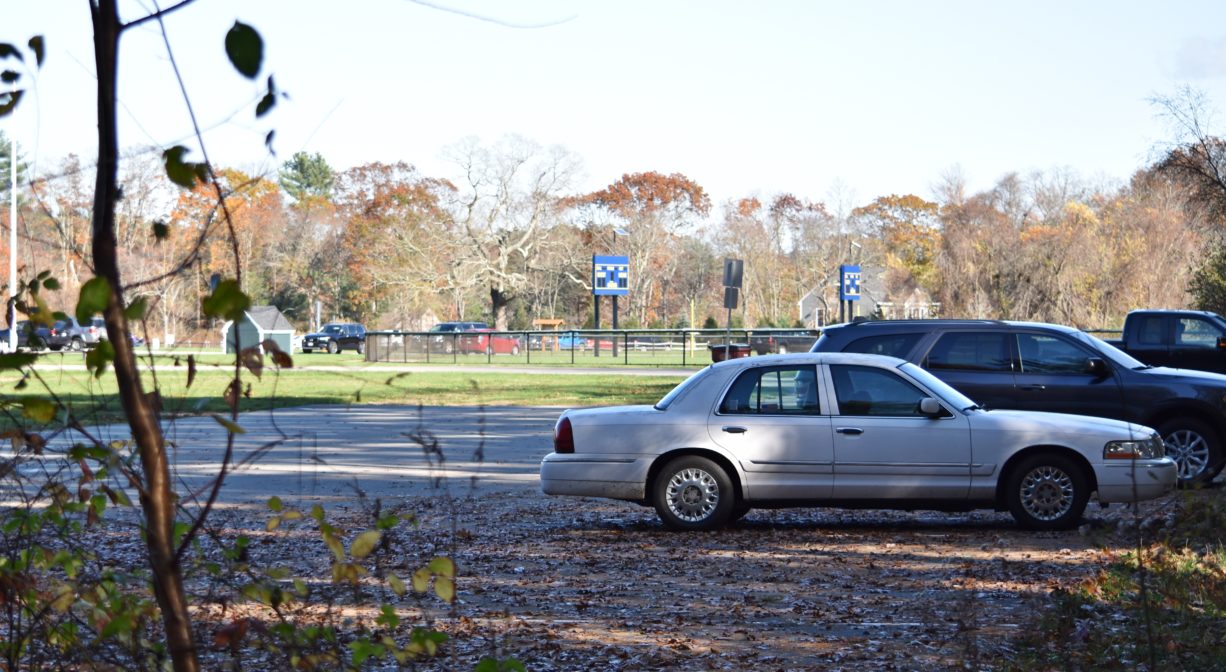
Parking: Ample on-site parking at Forge Pond Park, 245 King Street, Hanover. Best access from Parking Lot C.
Cost: Free
Trail Difficulty: Easy
Facilities:
No facilities on the Clark Bog Trail itself, but there are numerous benches, porta-potties, informational kiosks, and dog waste receptacles throughout Forge Pond Park. The pavilion (limited, seasonal hours) has a concession area with picnic tables. Geocache location.
Dogs: Dogs must remain on leash. Please clean up after your pet!
Boat Ramp: No
ADA Access: No
Scenic Views: Yes
Waterbody/Watershed: Drinkwater River (North River watershed)