
Forge Pond Park, 245 King St, Hanover, MA 02339, USA
https://www.hanover-ma.gov/parks-and-recreation/pages/forge-pond-park
Owned By: Town of Hanover
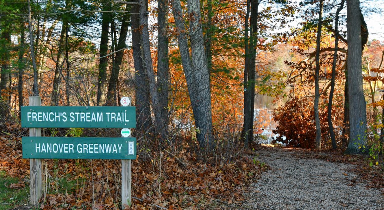
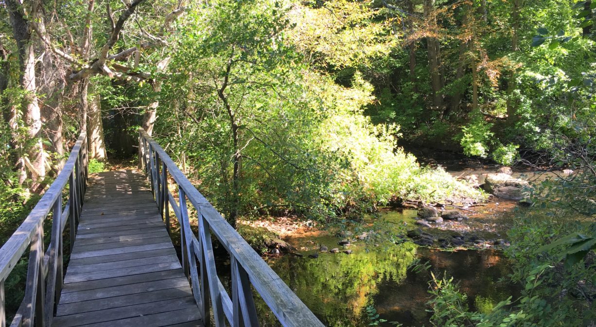
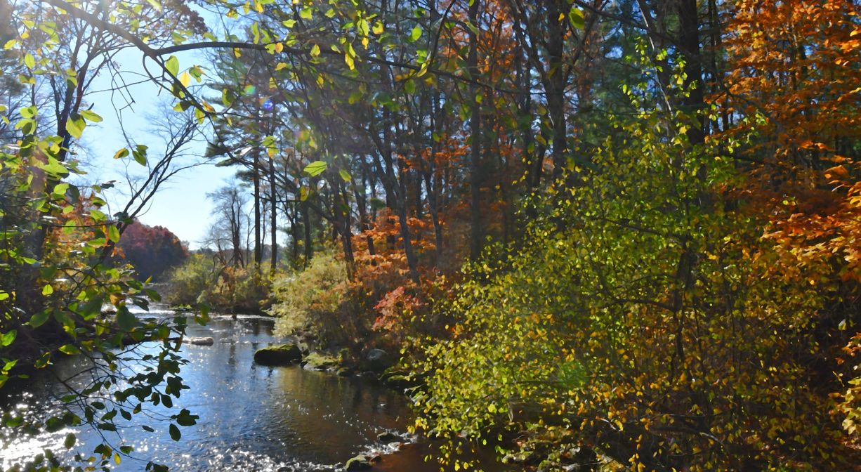
French’s Stream Trail in Hanover extends for 0.5 mile along French’s Stream. It features water views and a wooden bridge and provides canoe/kayak access to Forge Pond. The trail is accessible both within Forge Pond Park and across the street from the Ellis Baseball Fields.
HUNTING: Hunting is not permitted on this property. However, please note that hunting is allowed on the adjacent Summer Street Conservation Lands, in season, by licensed persons in compliance with Massachusetts law. Please be sure to understand state and local hunting guidelines before proceeding. Non-hunters, be mindful of hunting seasons, and wear bright orange if you’re entering the property during those times. Hunting is not permitted on Sundays.
Features
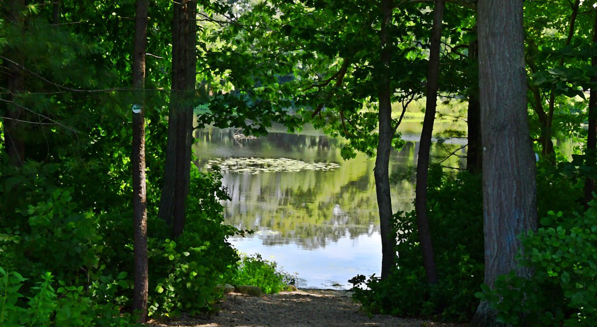
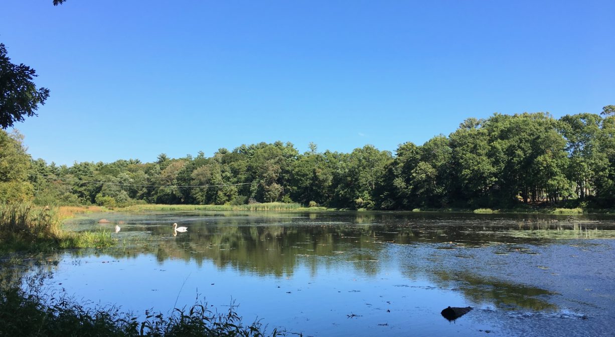
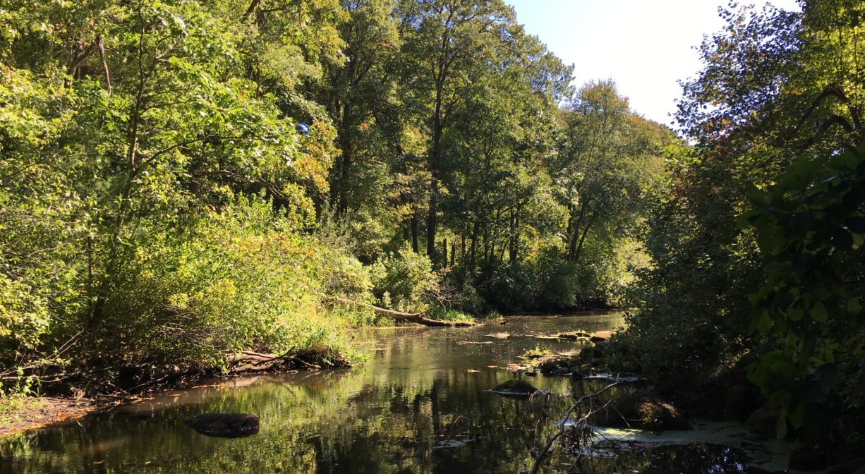
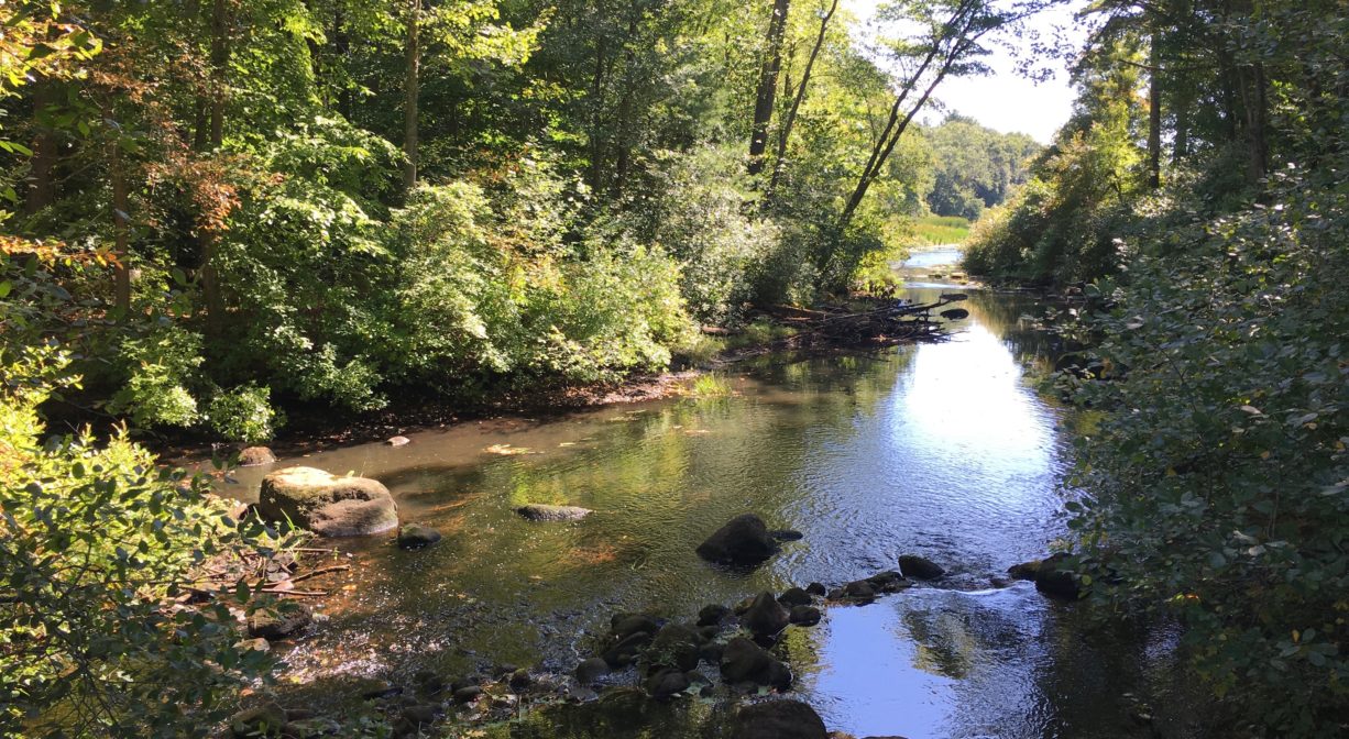
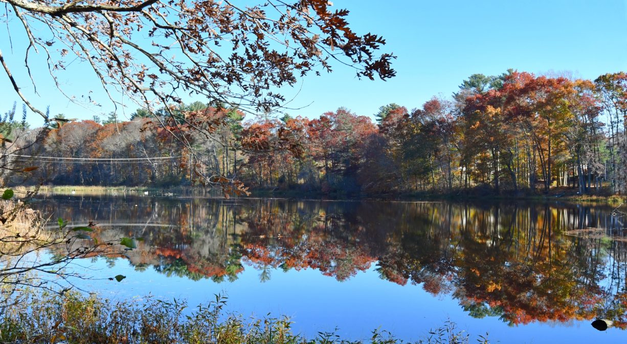
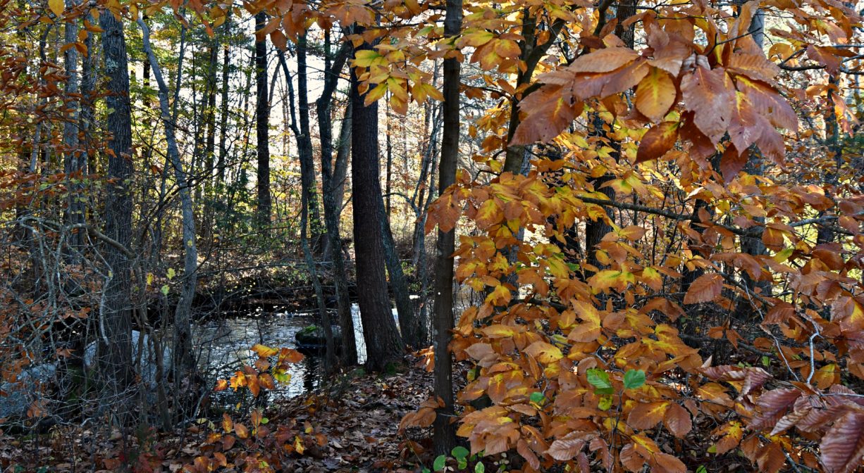
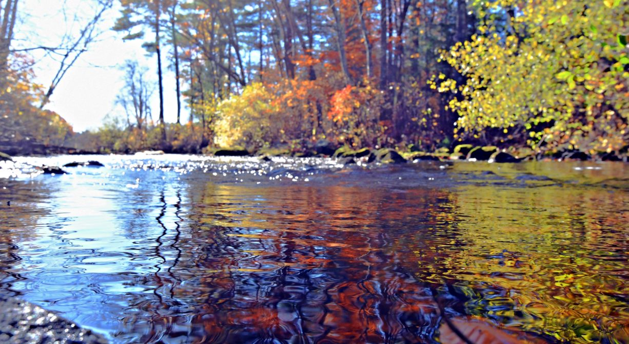
The French’s Stream Trail features several lovely, secluded views of French’s Stream. Toward the rear of the property, at the French’s Stream trailhead, you’ll also find a gravel access ramp for canoes and kayaks to Forge Pond. The pond itself offers a quiet spot for paddling. Downstream there are two dams to be aware of — one at the outlet of Forge Pond, and another farther downstream. Local knowledge indicates that the first dam can be run (although beware of debris in the water) and the second dam should be lined, as it presents a greater drop. Beyond there, the water is flat until it flows into Factory Pond, and then a portage is required in order to continue on the Indian Head River.
This land is within the region of the Massachusett (or Massachuseuk). To learn more about local Native American tribes, we encourage you to interact with their members. The Massachusett tribe at Ponkapoag and the Mattakeeset band of the Massachusett share information on their websites.
According to Martha Campbell’s Remembering Old Abington, the name “Drinkwater River” is said to be an Anglicized version of the original Native American name for the stream, Nannumackeuitt, “which meant that a hollow stem had to be used as a straw when sucking up water from this shallow, sluggish stream.” However in A Historical Sketch of the Town of Hanover, John S. Barry indicates that the name derives from the occasional of a new sawmill opening a short distance upstream of Forge Pond, near Ellis’s Bridge, after the original mill was burned down in 1676 during King Philips’ War. After “cold water, instead of spirituous liquors, was furnished as a beverage,” the term “Drinkwater” emerged.
Trail Description
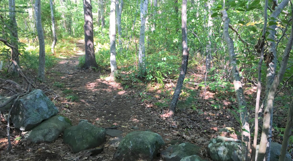
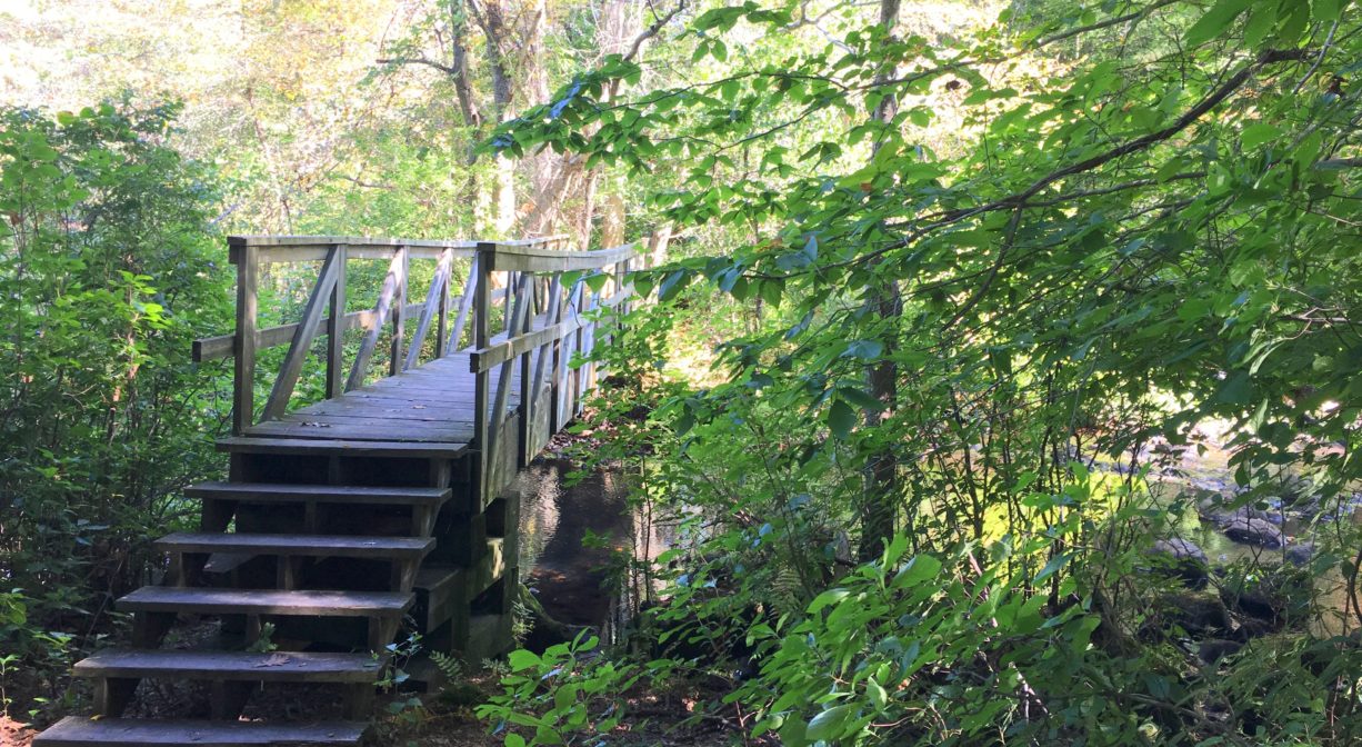
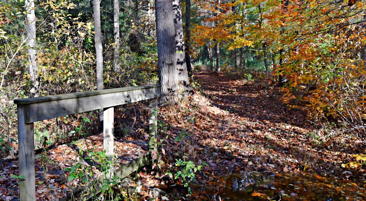
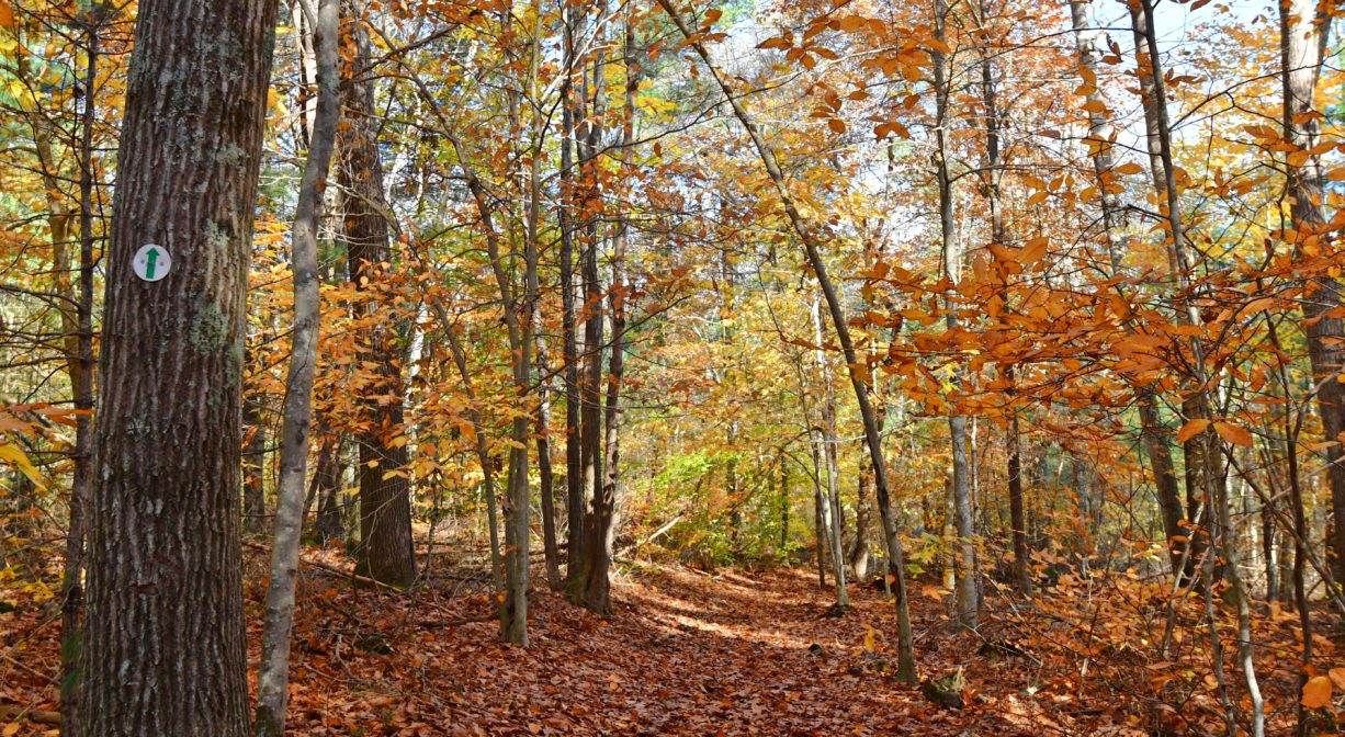
This trail leads from Forge Pond Park’s Parking Area E, through the woods, to the spot where French’s Stream and the Drinkwater River flow together. There is a footbridge at the site, which offers views both up- and downstream. Before the bridge, there is a smaller loop trail off to the side (marked with red blazes) with up-close access to French’s Stream. The French’s Stream Trail continues along the edge through the woods to 678 Circuit Street in Hanover, where there is another marked trailhead. This is a short walk from the Ellis Baseball Fields.
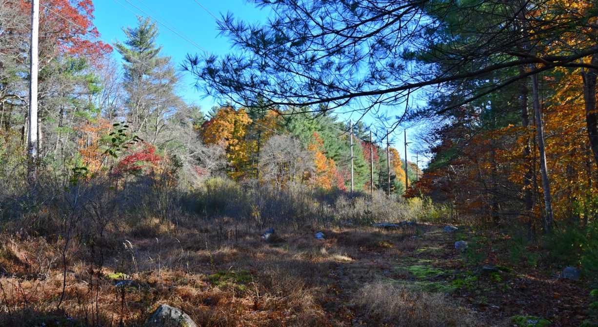
Another trail, also marked in red, continues from the footbridge, through a power easement meadow, and then through woodlands along the outer edge of Forge Pond Park, in both Hanover and Rockland (totaling about a mile). The property it traverses is Rockland’s 14-acre Summer Street Conservation Lands. Extending for about a mile, it connects with the Old Rockland Fireworks Loop Trail, and then with the Clark Bog Trail, both of which can be accessed at Forge Pond Park.
Please see separate listings for more details on:
• Forge Pond Park
• Clark Bog Trail
• Summer Street Conservation Lands
• Old Rockland Fireworks Loop Trail
Habitats and Wildlife
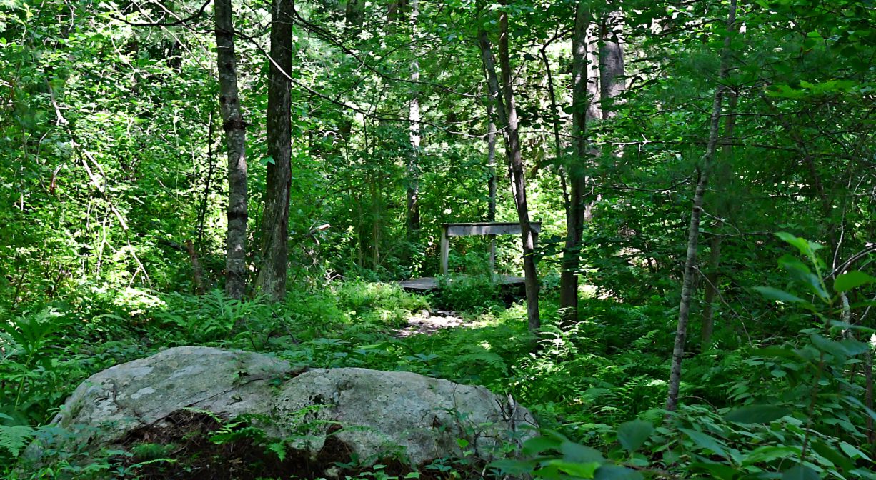
The forest here contains pine, oak, birch, beech and maple trees, plus ferns and sweet pepper bush. Look for old stone walls. There are also sections of the trail that pass through grassy electrical power easements, with lots of new pine trees.
French’s Stream and the Drinkwater River flow together just upstream of Forge Pond. The Drinkwater River continues to flow southeast of Forge Pond, into Factory Pond. From there, the waterway turns east and is known as the Indian Head River. It forms the boundary between Hanover and Hanson, and merges with Pembroke’s Herring Brook, a short distance downstream of Ludden’s Ford Park, to form the North River at a spot called The Crotch. The North River flows 12 miles through Pembroke, Hanover, Norwell, Marshfield and Scituate, eventually making its way to Massachusetts Bay and the Atlantic Ocean.
Historic Site: No
Park: No
Beach: No
Boat Launch: Yes
Lifeguards: No
Size: 0.51 miles
Hours: Dawn to Dusk
Parking: Ample on-site parking at Forge Pond Park, 245 King Street, Hanover. Best access from Parking Area E.
Cost: Free
Trail Difficulty: Easy
Facilities:
No facilities on the French’s Stream Trail itself, but there are numerous benches, porta-potties, informational kiosks, and dog waste receptacles throughout Forge Pond Park. The pavilion (limited, seasonal hours) has a concession area with picnic tables. A short distance down the trail from Forge Pond Park, there is a small launch area on Forge Pond.
Dogs: Dogs must remain on leash. Please clean up after your pet!
Boat Ramp: No
ADA Access: No
Scenic Views: Yes
Waterbody/Watershed: Forge Pond, French's Stream, Drinkwater River (North River watershed)