
Owned By: Town of Rockland
Summer Street Conservation Lands is a 14-acre forest in Rockland and Hanover. A trail extends for approx. 1-mile across the property and links directly to the Old Rockland Fireworks Loop Trail and the French’s Stream Trail, both of which are accessible from Forge Pond Park in Hanover.
HUNTING: Hunting is allowed, in season, by licensed persons in compliance with Massachusetts law. Please be sure to understand state and local hunting guidelines before proceeding. Non-hunters, be mindful of hunting seasons, and wear bright orange if you’re entering the property during those times. Hunting is not permitted on Sundays. Please note that while hunting is allowed on this property, it is now allowed at the adjacent Forge Pond Park, or on any of its trails, with the exception of Clark Bog.
Features
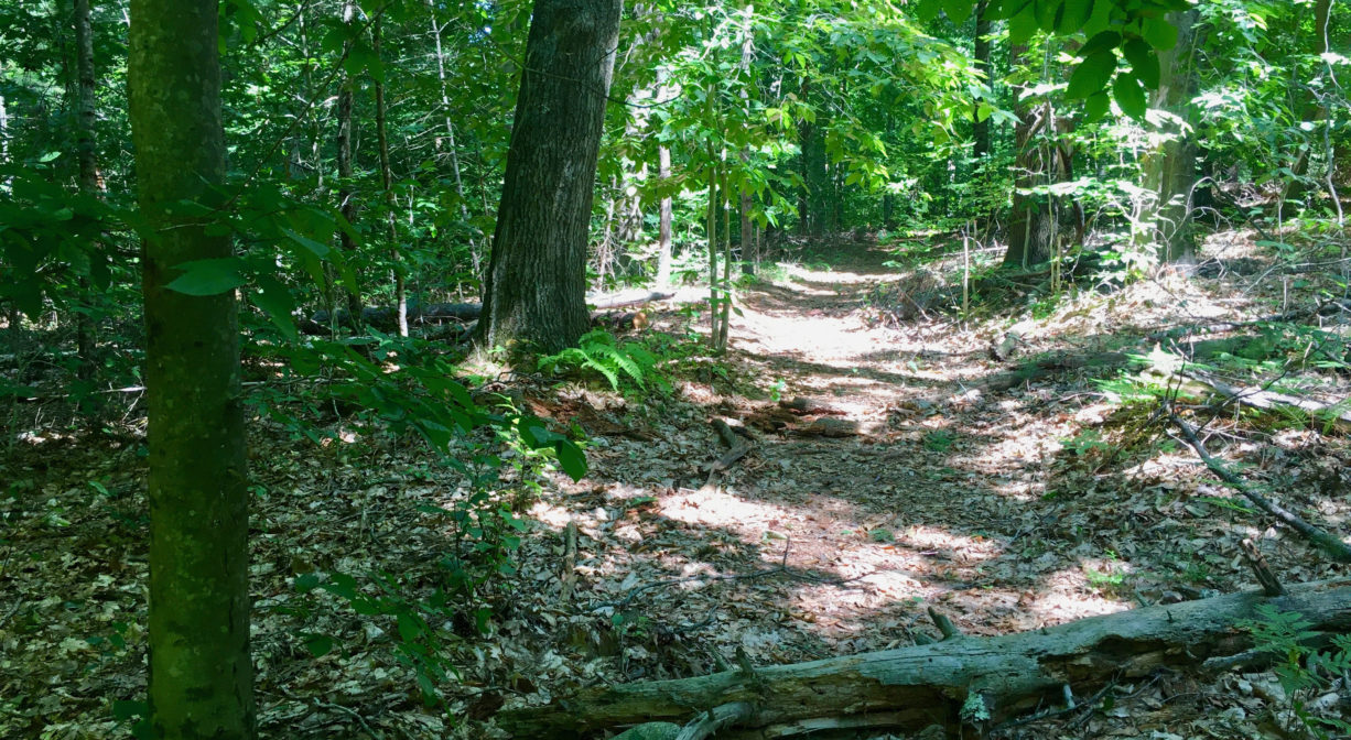
This 14-acre forest, primarily pine and oak, is not currently accessible from Rockland, however there are two access points in Hanover’s Forge Pond Park. It provides a vital woodland connection between the French’s Stream Trail to the east and the Old Rockland Fireworks Loop and Clark Bog Trails to the west, creating a several-mile network of hiking paths within the French’s Stream watershed.
This land is within the region of the Massachusett (or Massachuseuk). To learn more about local Native American tribes, we encourage you to interact with their members. The Mattakeeset band of the Massachusett and the Massachusett tribe at Ponkapoag share information on their websites.
Please see separate listings for more details on:
• Forge Pond Park
• French’s Stream Trail
• Clark Bog Trail
• Old Rockland Fireworks Loop Trail
Trail Description
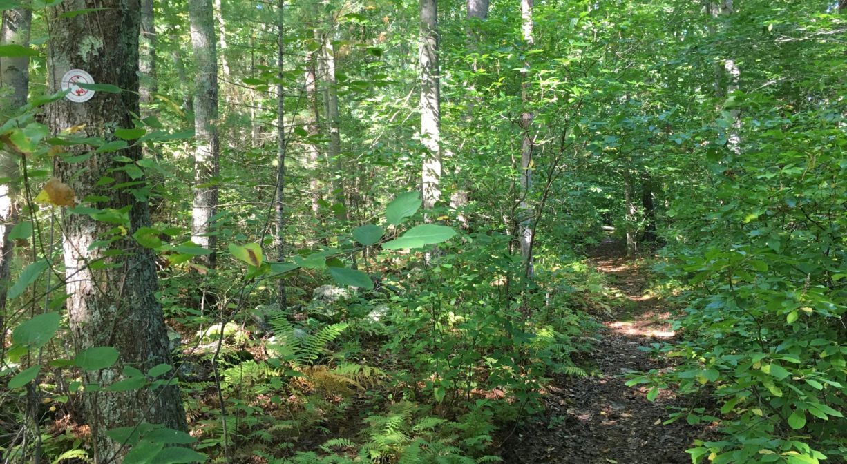
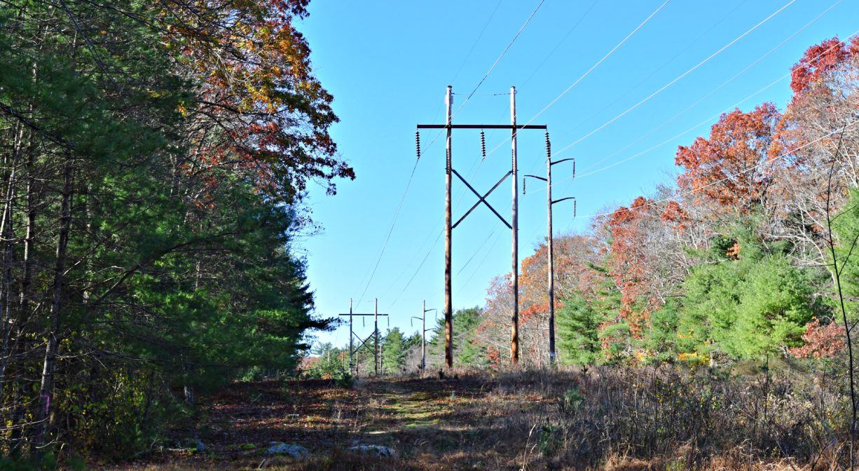
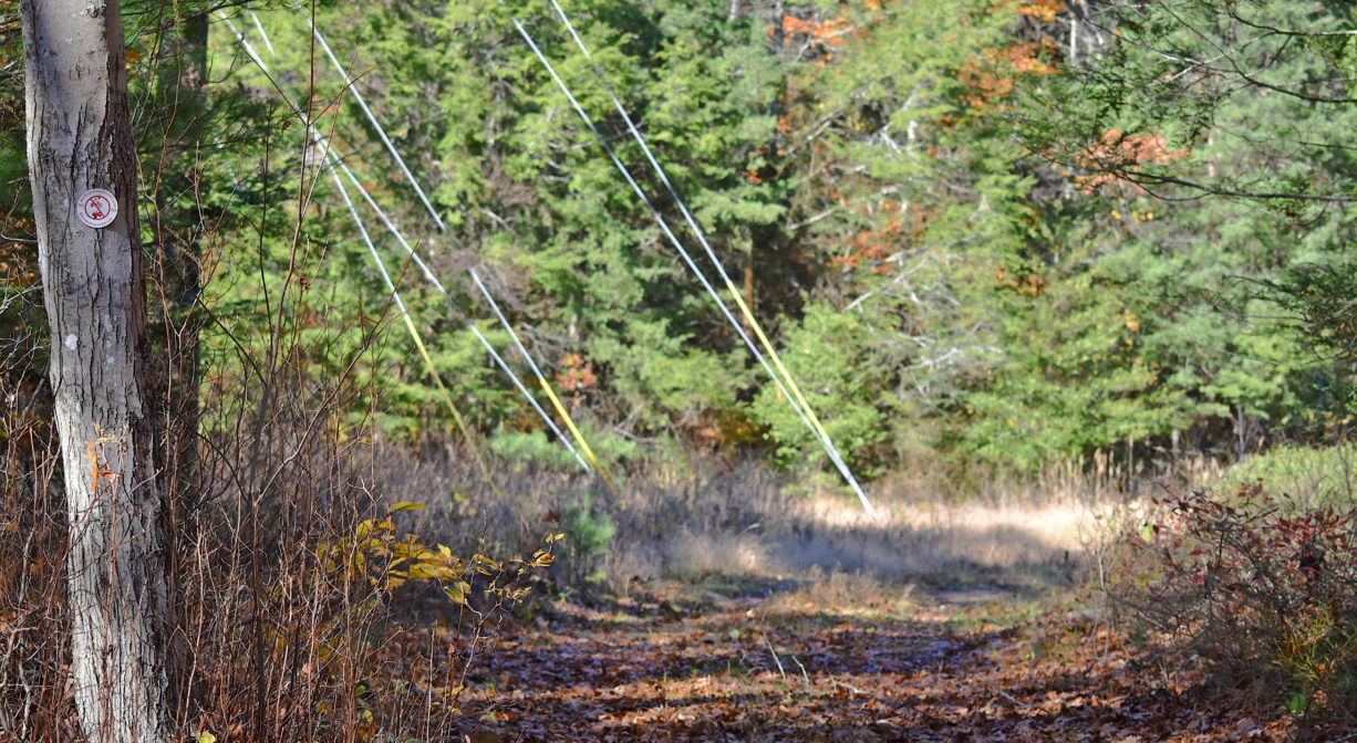
If you take the French’s Stream Trail from Parking Lot E at Forge Pond Park in Hanover, you will arrive at the French’s Stream Bridge after about 0.26 miles. The French’s Stream Trail continues over the bridge, but look for another trail just to the left of the bridge entrance, heading into a grassy power easement. This unnamed trail, marked with red Hanover Conservation blazes, continues along the outer edge of Forge Pond Park for about a mile, mostly through Rockland’s 14-acre Summer Street Conservation property.
After passing through a second power easement, it connects with the Old Rockland Fireworks Loop Trail, as well as the Clark Bog Trail, both of which can also be accessed at Forge Pond Park via the trailhead near Parking Lot C. Look for the large green Clark Bog Trail sign.
Habitats and Wildlife
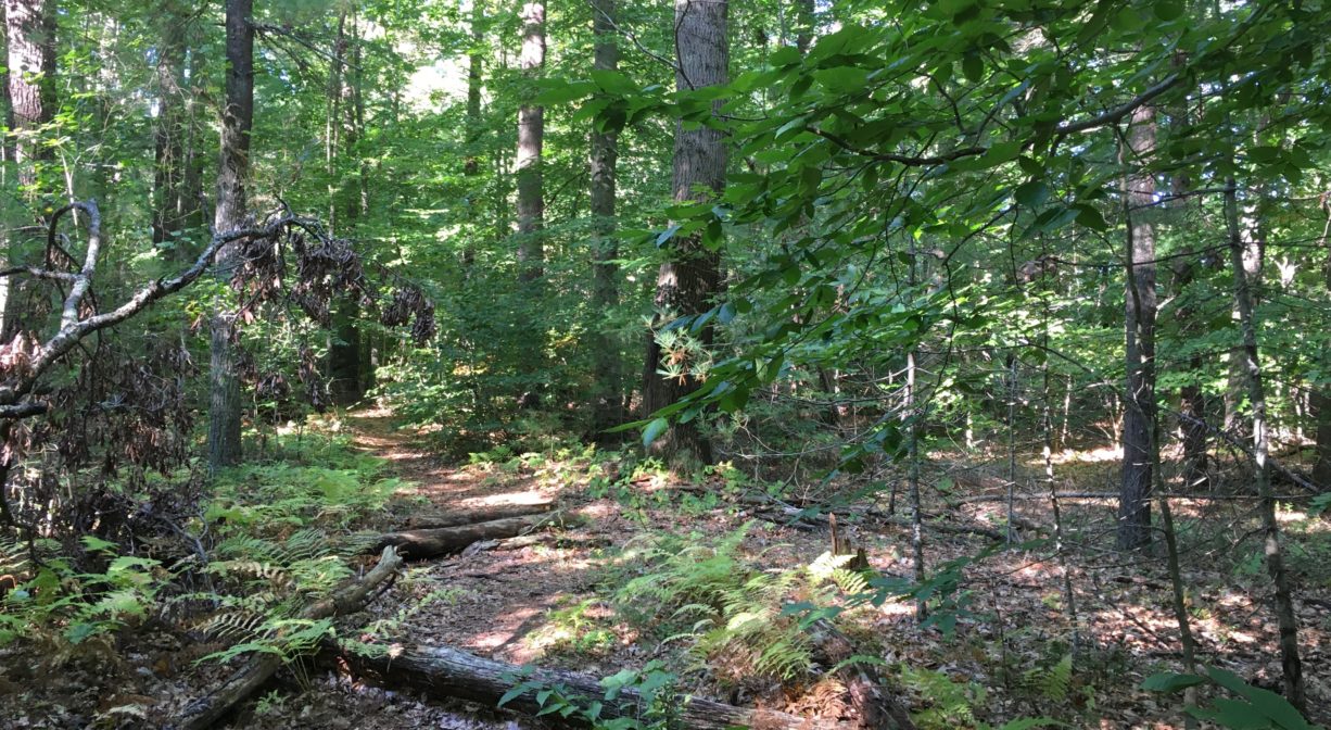
The forest here contains pine, oak, birch, beech and maple trees, plus ferns and sweet pepper bush. Look for old stone walls. There are also section of the trail that pass through grassy electrical power easements, with lots of new pine trees.
French’s Stream passes along the edge of this property, and then continues south into Hanover, where it joins with the Drinkwater River. The Drinkwater River flows through Forge Pond and Factory Pond before turning east and becoming the Indian Head River. It joins Herring Brook in Pembroke and Hanover to form the North River, which flows 12 miles through Hanover, Pembroke, Norwell, Marshfield, and Scituate, to the Atlantic Ocean.

Historic Site: No
Park: No
Beach: No
Boat Launch: No
Lifeguards: No
Size: 14 acres
Hours: Dawn to Dusk
Parking: Park at Forge Pond Park. Parking Lots C, D and E provide the best access.
Cost: Free
Trail Difficulty: Easy
Facilities:
Geocache location. No other facilities within the Summer Street Conservation Lands, but there are numerous benches, porta-potties, informational kiosks, and dog waste receptacles throughout Forge Pond Park. The pavilion (limited, seasonal hours) has a concession area with picnic tables.
Dogs: Dogs must remain on leash. Please clean up after your pet!
Boat Ramp: No
ADA Access: No
Scenic Views: Yes
Waterbody/Watershed: French's Stream (North River watershed)