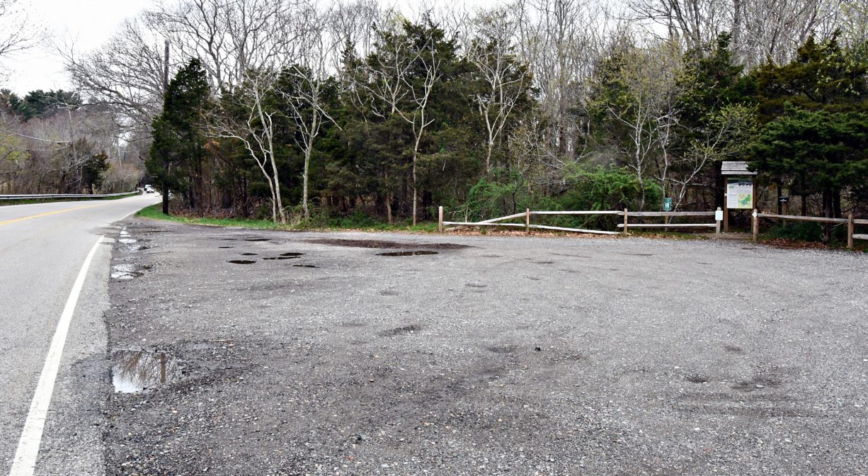
Wildlands Trust - Hoyt-Hall Preserve, 780 Careswell St, Marshfield, MA 02050, USA
https://wildlandstrust.org/hoythall-preserve
Owned By: Wildlands Trust
Marshfield’s Hoyt-Hall Preserve is a wonderful place for a walk, with 123 diverse acres surrounding Long Tom Pond. A 1.7-mile loop trail leads through freshwater wetlands, red maple swamp, and mature forest. Additional trails connect to neighborhood pathways, to a section of the former Old Colony Railroad, and to the Winslow House. Owned by The Wildlands Trust, this is a prime location for birding.
For up-to-date information and real time trail conditions, visit wildlandstrust.org/trails
Hunting is not allowed at Hoyt-Hall Preserve.
FISHING ADVISORY: It’s important to know that some of our freshwater fisheries are contaminated with mercury, PFAS and/or other concerning substances. The Massachusetts Department of Public Health maintains an online database with up-to-date advisories regarding fish consumption, sorted by location. We recommend you consult this valuable resource when planning a fishing excursion.
Features
The opening of the Hoyt-Hall Preserve in 2016 represented a decade and a half of determined effort by The Wildlands Trust. When the property was acquired, it was clear that it was going to be “a project.” Some trails already existed – such as colonial-era cart paths and cranberry bog causeways – but they were overgrown with thorns and briers and very much in need of clearing. Other trails had to be plotted outright. Plus there were streams that needed crossing and brush that had to be cut back.
Over time, the Wildlands Trust’s stewardship crew and its volunteer Trailblazer team completed the task. This included the challenge of creating a circuit trail within the preserve. Initially there was no clear way to connect various trail spurs without crossing sensitive areas. Fortunately a solution presented itself when the Town of Marshfield purchased adjacent land to protect its drinking water supply. The acquisition included a narrow slice of upland along the preserve’s northern border, with just enough room for a trail.
It is collaborations such as these that make the Hoyt-Hall Preserve a noteworthy achievement. The majority of the land is owned by the Wildlands Trust, but some of the trails cross other quasi-public properties such as the Historic Winslow House, and the Old Colony Railroad. Without these extensions, it would be difficult for the public to fully experience and appreciate all that the preserve has to offer.
The lands of the Hoyt-Hall Preserve are rich in history. Before European settlers arrived, this area was used every summer by Wampanoag tribes, who traveled seasonally from Lakeville and Middleboro to set up camp and hunt for shellfish along Wharf Creek. A portion of King Philip’s Path passes through the preserve. In the 1630s, the preserve and its surroundings were among the lands granted to Governor Edward Winslow. Over time the property was parceled out and cleared for farming, with many of the trees sold to the local shipbuilding industry. While originally Long Tom Pond was part of Duxbury Bay’s tidal saltmarsh, during this time it was dammed in, resulting in a conversion to a freshwater ecosystem that the farms eventually would use as a water supply.
More recently, a portion of the area was made into cranberry bogs. Sometime after 1928, Lincoln Hall, the son of Walton Hall (who developed approx. 1,000 acres of cranberry bogs along Webster Street and toward Green Harbor) purchased the lands of today’s Hoyt-Hall Preserve. He established cranberry bogs on site, and farmed them until the late 1960s. According to the Wildlands Trust, “While the bogs that were once located on the Webster Street side of the property have since reverted to a natural state and the pond is no longer used for irrigation, evidence of the land’s agricultural history can be seen in the remnants of an old windmill on the property.”
Forests and swamps have reclaimed their territory, although portions of the Pilgrim Trail (originally a Wampanoag byway; later Green’s Harbor Path, the first court-ordered road in Plymouth Colony) skirt the property’s northern border. You can also walk part of Old Careswell Street, which was rerouted in the 1930s. Look for patches of asphalt along the pond’s southern edge.
Lincoln Hall passed away in 1969. His son, Stephen, moved with his family from Lexington to Marshfield, and lived there for many years. The family sold the land to The Wildlands Trust in 2000. The Little Free Library, installed near the Careswell Street trailhead in 2022, is a gift from Stephen’s grandson, Steve Wood.
This land is within the region of the Wampanoag. To learn more about local Native American tribes, we encourage you to interact with their members. The Herring Pond Wampanoag and the Mashpee Wampanoag share information on their websites.
Trail Description
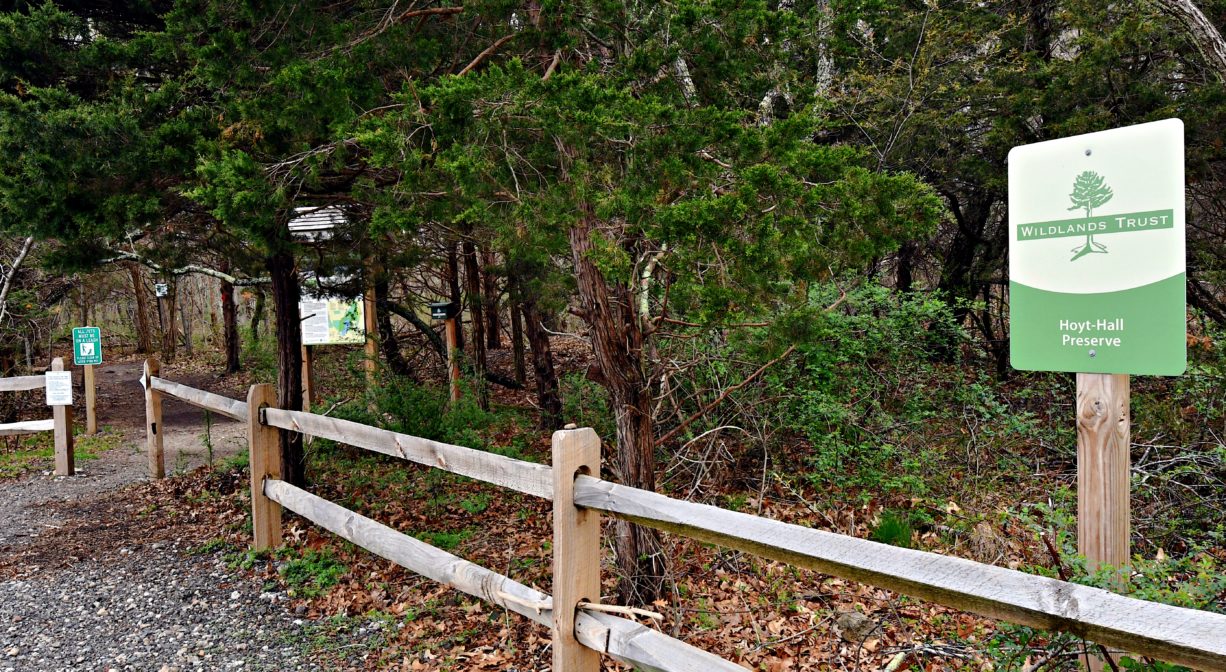
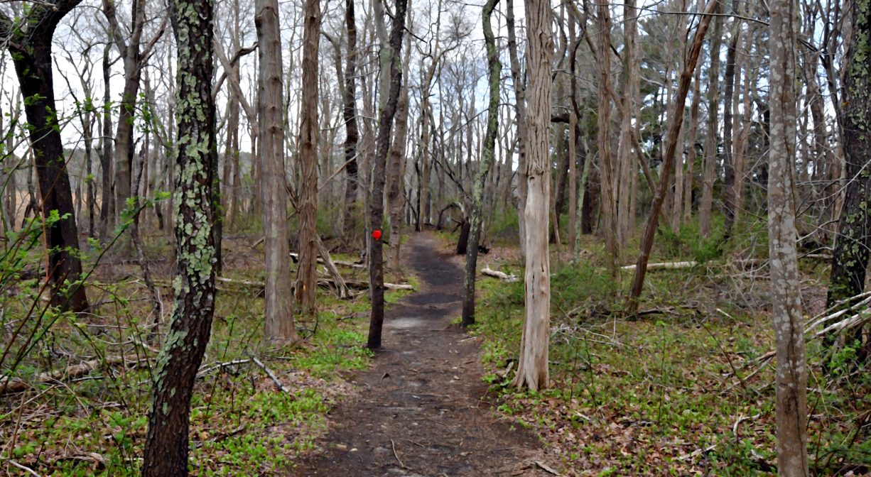
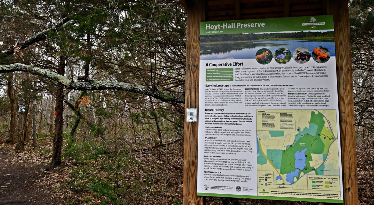
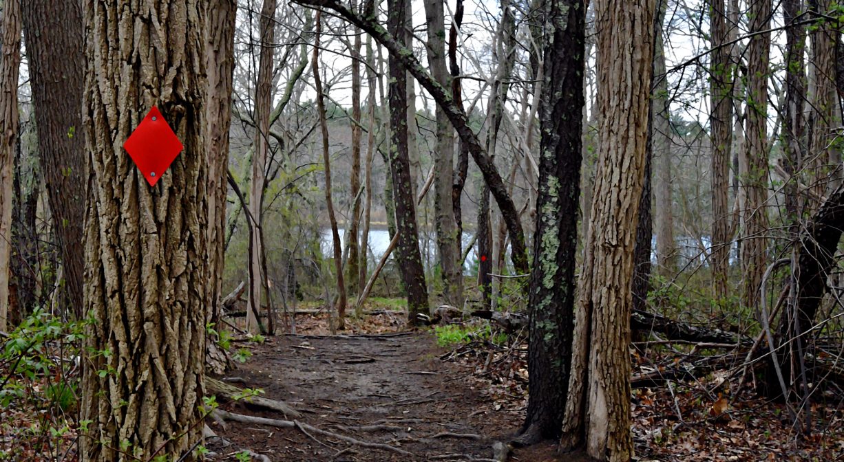
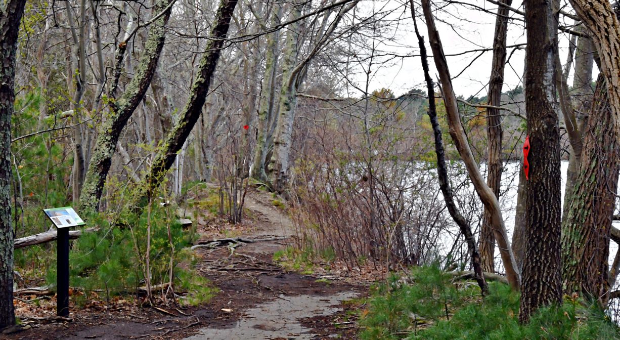
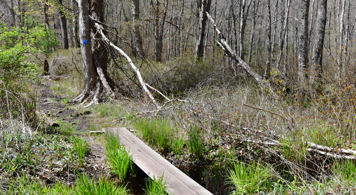
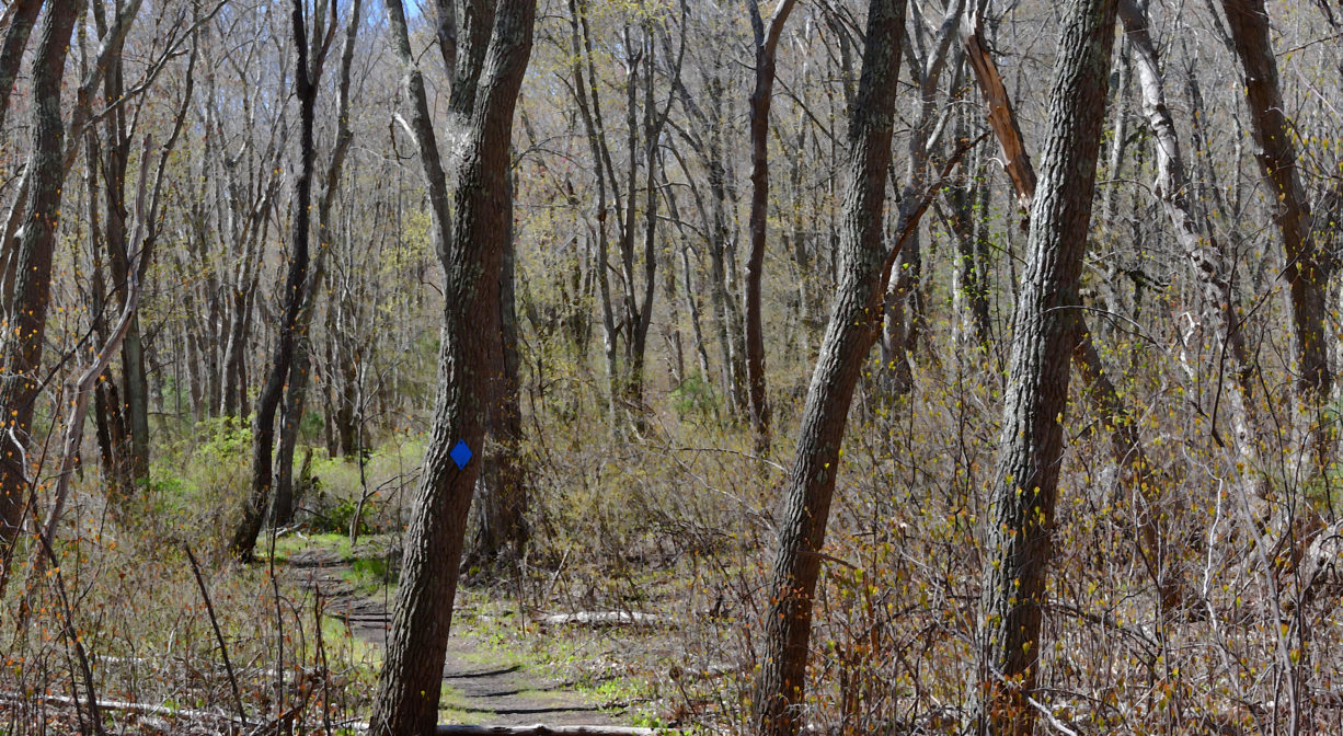
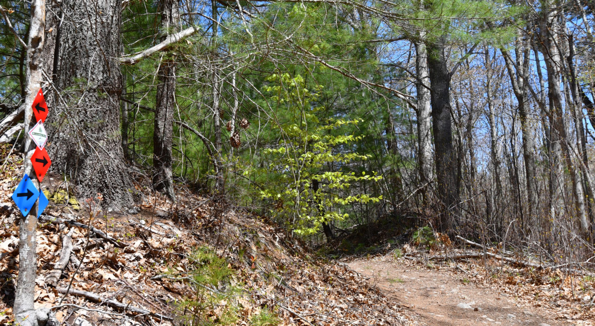
Look for the kiosk in the parking area, which features a map of the property. The main trail, which encircles the pond and is marked with red blazes, might take you up to an hour to traverse. It’s also worth investigating the spur trail to the Historic Winslow House (its blazes are blue).
Additional trails along the western border lead to Rail Trail South (currently unmarked). Formerly the path of the Old Colony Railroad bed, this trail leads south a short distance to Careswell Street, where you’ll also find a historic marker for Webster Place Depot. It also leads to an intersection with the historic Pilgrim Trail (also unmarked) which extends south to a different spot on Careswell Street, and also north, back into the Hoyt-Hall Preserve. Some of these trails are marked in white, but consider this the “adventure” portion of your visit, as some guesswork will be required to circle back to the main trail.
In addition, Rail Trail South extends north to Red Gold Farm and the Marshfield Bridle Path and Rail Trail. To make this connection, look for the metal gate at the northern end of the railroad bed (approx. 0.5 miles) at Stagecoach Drive. After a 0.1-mile detour up Stagecoach Drive (to the left), look into the woods (again, to the left) to find more of the rail trail. It soon becomes a boardwalk that leads into Red Gold Farm. Trails continue for about a mile through Red Gold Farm to Webster Street, where Rail Trail South becomes a sidewalk, extending 0.63 miles to Dandelion Park. From there, you can follow the Marshfield Bridle Path and Rail Trail for 3.5 miles to its terminus on Station Street.
If you’re willing to portage a canoe or kayak about 450 feet from the parking area, you can launch your boat on the pond. Also, be sure to check out the old stone cistern along the pond’s eastern edge, another relic from the area’s farming days.
Additional pedestrian access from the cul de sac at the end of Pilgrim Trail in Marshfield (in the Black Mount neighborhood).
Habitats and Wildlife
This is a prime spot for birding. So far, some of the rare species spotted here include American bittern and bald eagle. Watch for snowy egrets at the edges of the smaller pond.
Long Tom Pond is located at the center of this property. It and the other ponds and streams here are all within the watershed of the Duxbury Back River.
Waters flowing from an extensive salt marsh in Green Harbor and along the Marshfield-Duxbury line, as well as from the Duck Hill River, form Duxbury’s Back River, which enters Duxbury Bay at the Powder Point Bridge, and empties into Cape Cod Bay.
Historic Site: No
Park: No
Beach: No
Boat Launch: No
Lifeguards: No
Size: 123 acres
Hours: Dawn to Dusk
Parking: Limited on-site parking on Careswell Street across from Colby Hewitt Lane.
Cost: Free
Trail Difficulty: Easy, Medium
Facilities:
Benches, informational kiosk, interpretive signage, Little Free Library. Geocache location.
Dogs: Dogs must remain on leash. Please clean up after your pet!
Boat Ramp: No
ADA Access: No
Scenic Views: Yes
Waterbody/Watershed: Long Tom Pond (Duxbury Back River watershed)

