
330 Ocean St, Marshfield, MA 02050, USA
781-831-1563, 781-536-2500 x. 294
https://www.marshfield-ma.gov/services/marshfield_beaches/index.php
Owned By: Town of Marshfield
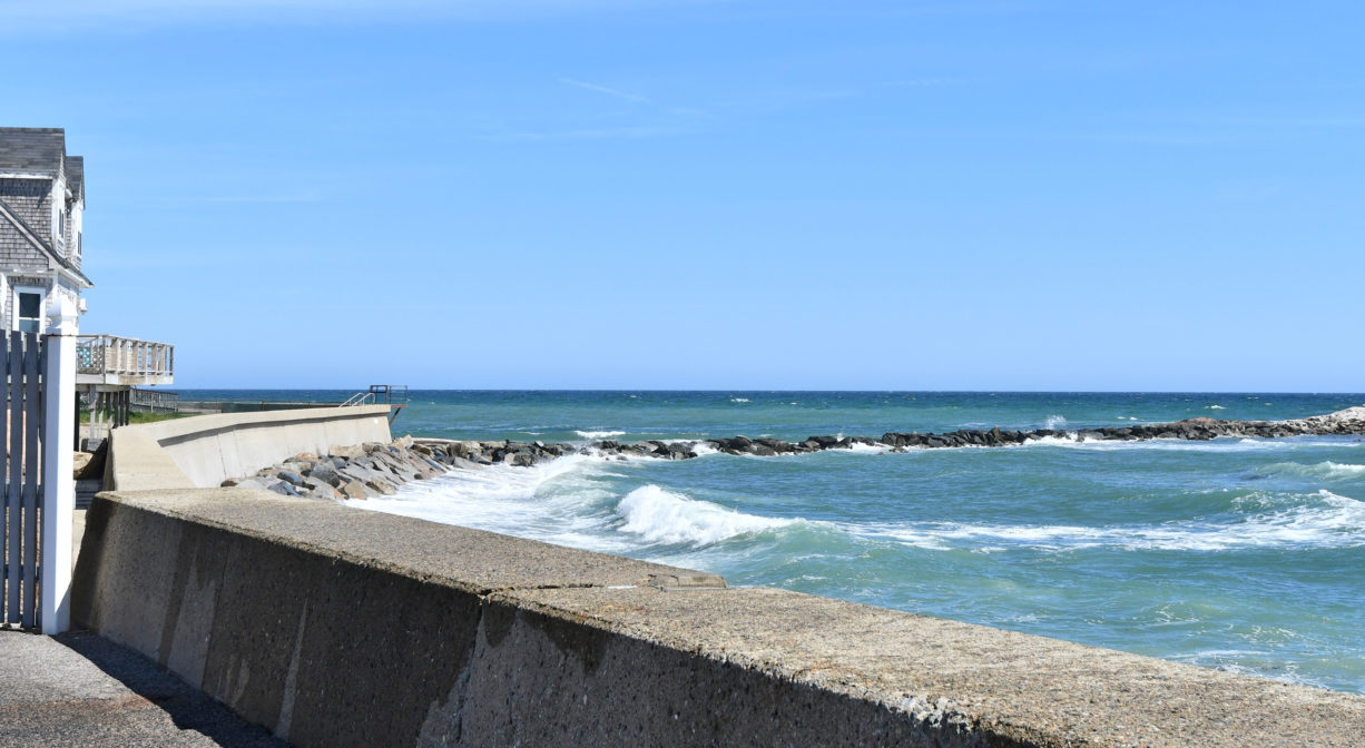
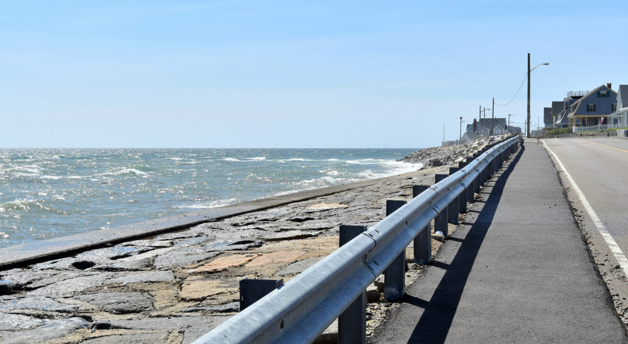
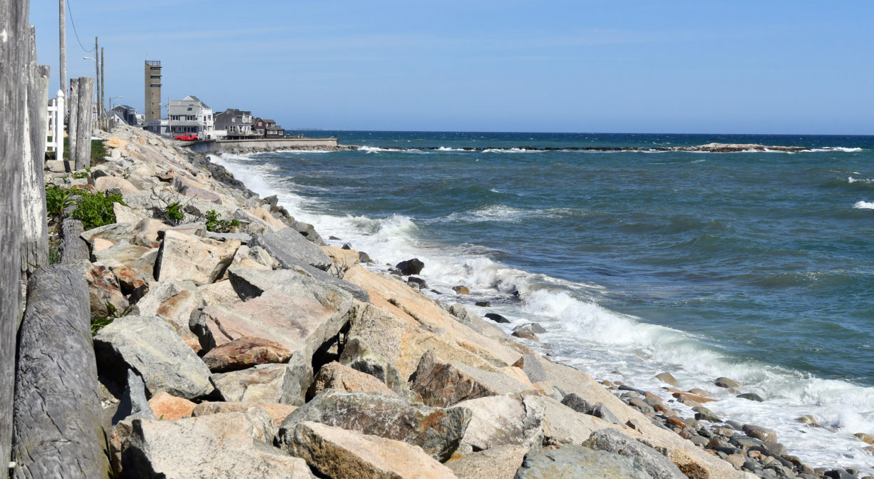
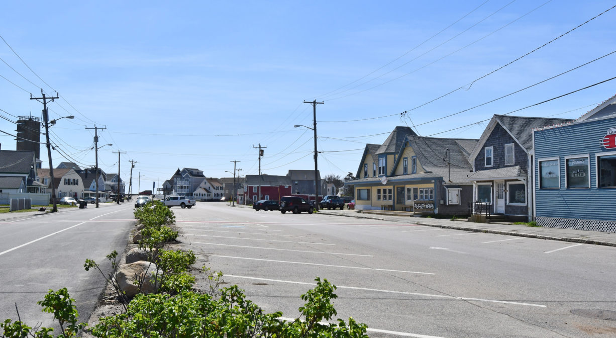
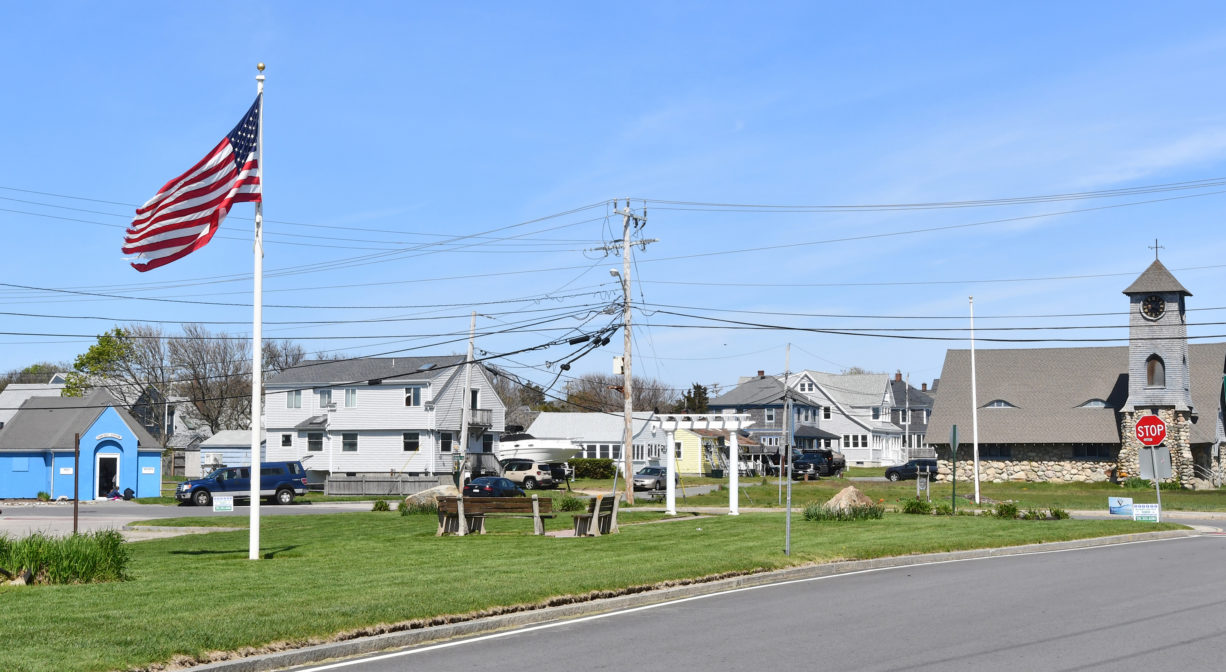
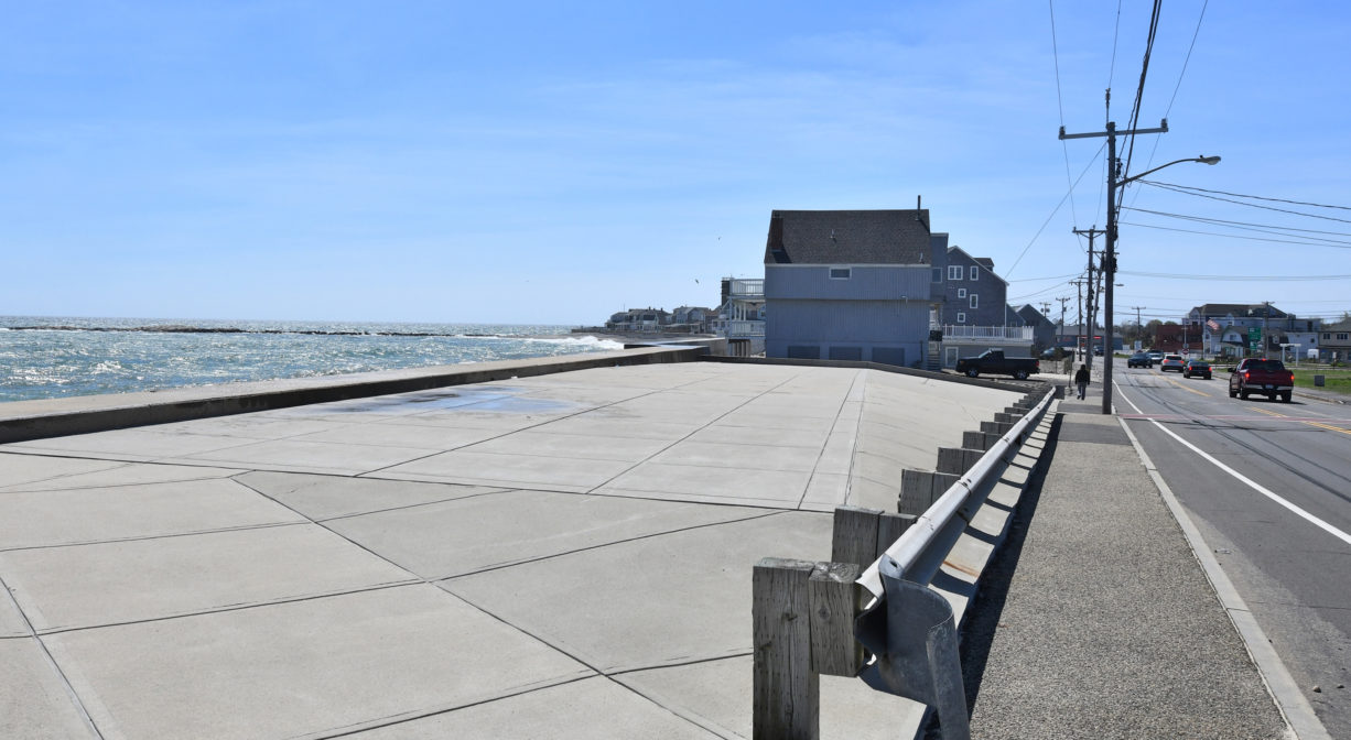
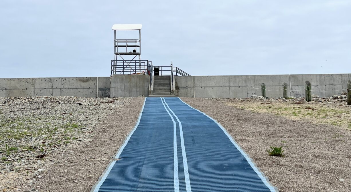
Brant Rock is a public ocean beach in Marshfield with seasonal lifeguards and restrooms. Resident and non-resident parking is available. Located at the intersection of Ocean Street and Dyke Road. Best access is at lower tides.
FISHING ADVISORY: It’s important to know that some of our fisheries are contaminated with mercury, PFAS and/or other concerning substances. The Massachusetts Department of Public Health maintains an online database with up-to-date advisories regarding fish consumption, sorted by location. We recommend you consult this valuable resource when planning a fishing excursion.
Hunting is not permitted on this property.
SWIMMING: Massachusetts routinely checks water quality at public swim spots and shares the data in an online database. Save this link so you can check water quality before you go.
Features
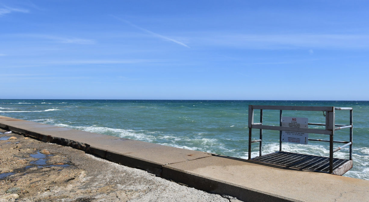
The following items/activities are prohibited at Marshfield’s beaches: alcoholic beverages, littering, glass, fires, unleashed dogs, camping, dressing/undressing, power boats, water skiing, jet skiing, diving from jetty. Raft/float use is subject to safety orders from lifeguards.
This land is within the region of the Massachuseuk (or Massachusett) and Wampanoag Native American tribes. To learn more about local Native American tribes, we encourage you to interact with their members. The Mattakeeset band of the Massachusett and the Massachusett tribe at Ponkapoag share information on their websites.
Trail Description
No trails. This beach features a jetty and a rocky outcropping that are accessible at most tides. Space on the beach itself is very limited during higher tides. Also, from the Brant Rock Esplanade, there is access to the Harbor Walk. A spur trail connects it to Joseph Driebeek Road. From there, to the left, the Harbor Walk extends to Harbor Park and the Marshfield Town Pier. To the right, it connects to the Brant Rock Beach parking area, Peter Igo Park, and the entrance to the Wharf Creek Conservation Area on Careswell Street.
Habitats and Wildlife
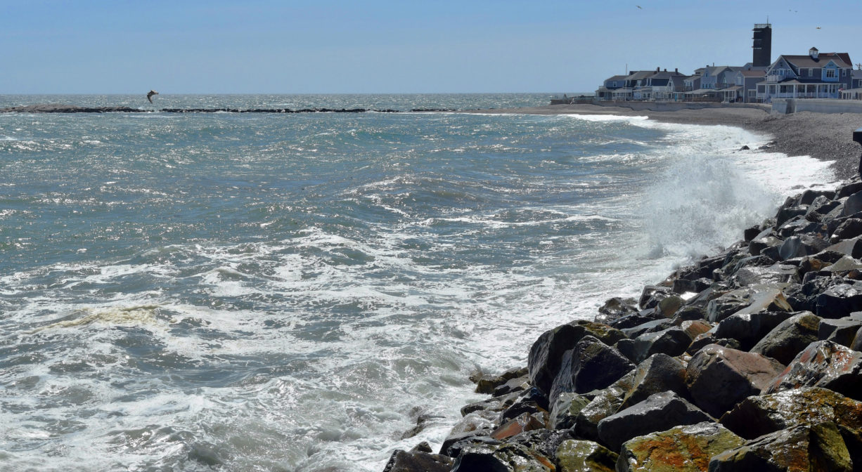
Brant Rock itself — a rocky outcropping — was named for the brant geese commonly found there. It is accessible via a jetty. Look along the northern side at low tide for tide pools. There are even some tide pools on top of the outcropping! It is located on Massachusetts Bay, on the Atlantic Ocean.


Historic Site: No
Park: No
Beach: Yes
Boat Launch: No
Lifeguards: Lifeguards 9:30am-4:15pm, Memorial Day through Labor Day.
Hours: Dawn to dusk.
Parking: Resident sticker parking and non-resident day passes are required for parking along Hewitts Point seawall and in the lot on Dyke Road. No fee for off-season parking.
Cost: Beach access is free. Parking may require a fee.
Trail Difficulty: Easy
Facilities:
Restrooms are located across the street, at the Comfort Station. They are open seasonally from 9:30am to 4:15pm.
Dogs: Dogs must remain on leash. Always clean up after your dog!
Boat Ramp: No
ADA Access: No
Scenic Views: Yes
Waterbody/Watershed: Massachusetts Bay