
Joseph Driebeck Way, Marshfield, MA 02050, USA
Marshfield DPW: (781) 834-5575
https://www.marshfield-ma.gov/cemeteries-trees-greens
Owned By: Town of Marshfield
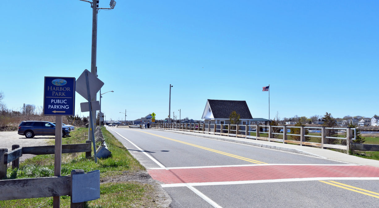
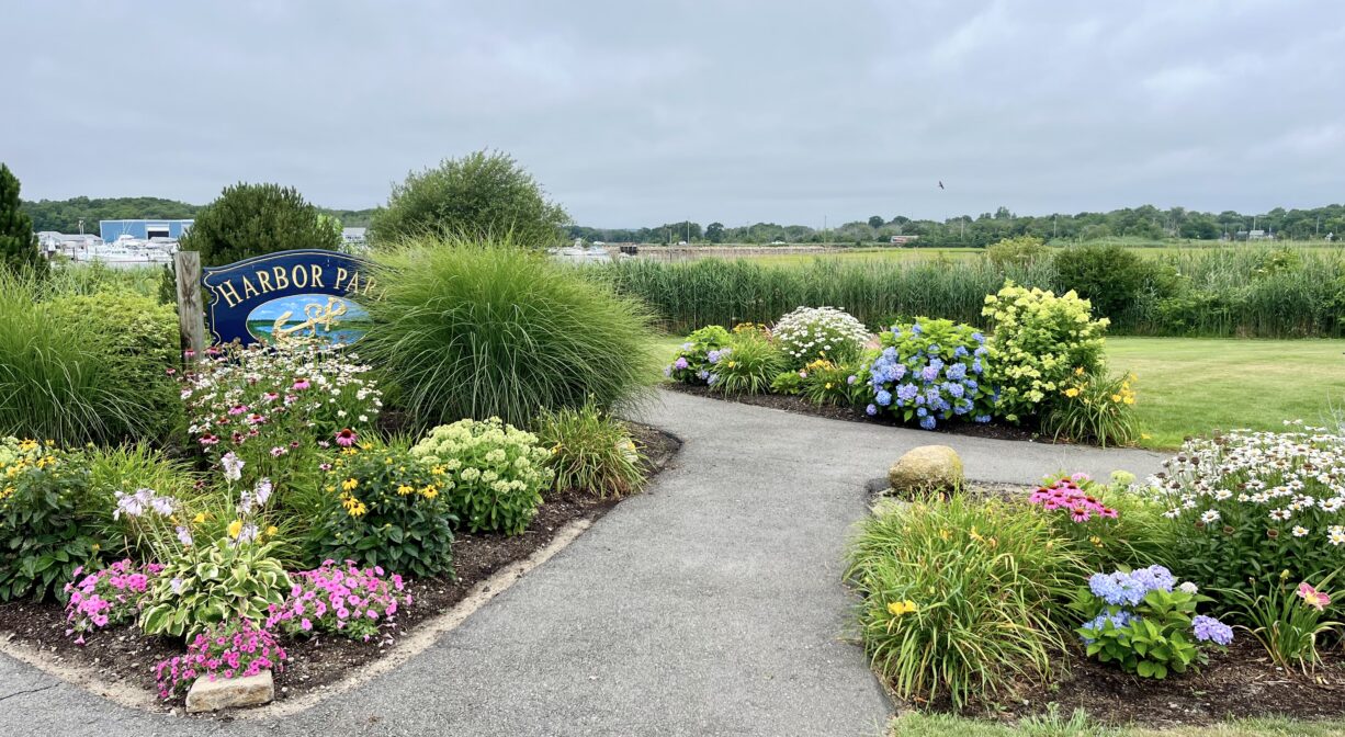
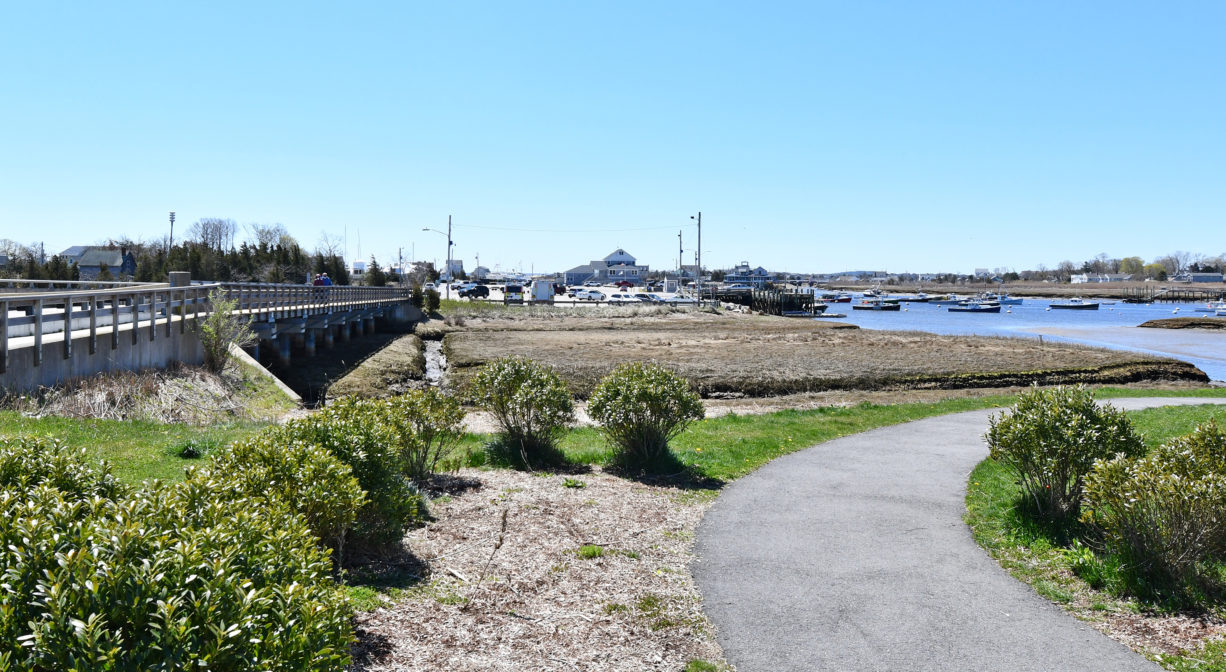
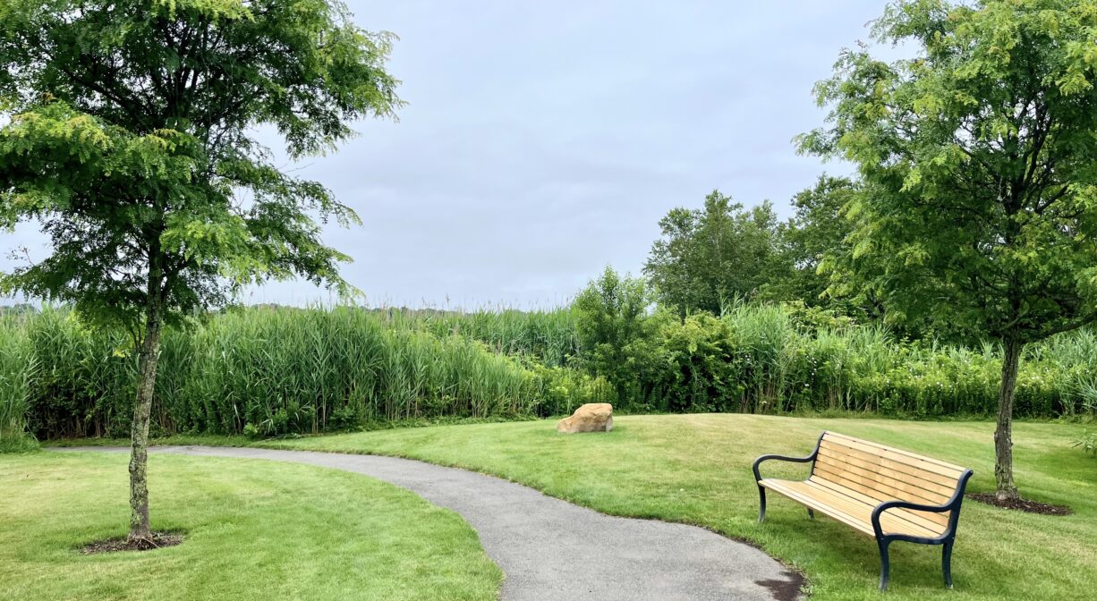
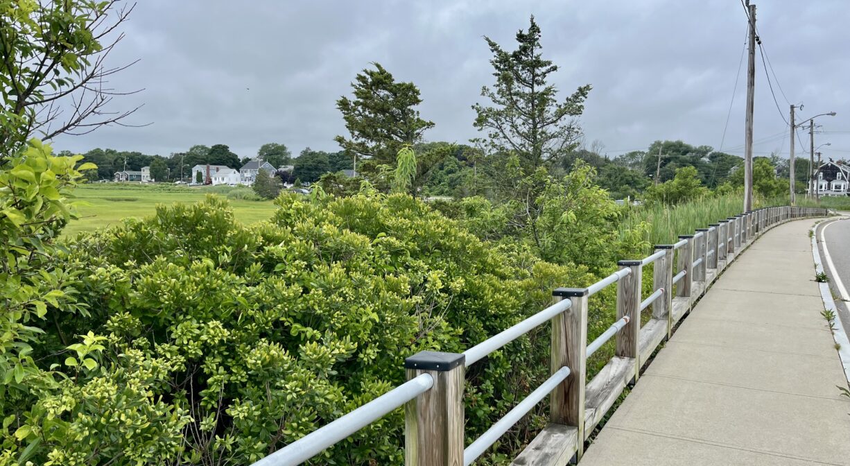
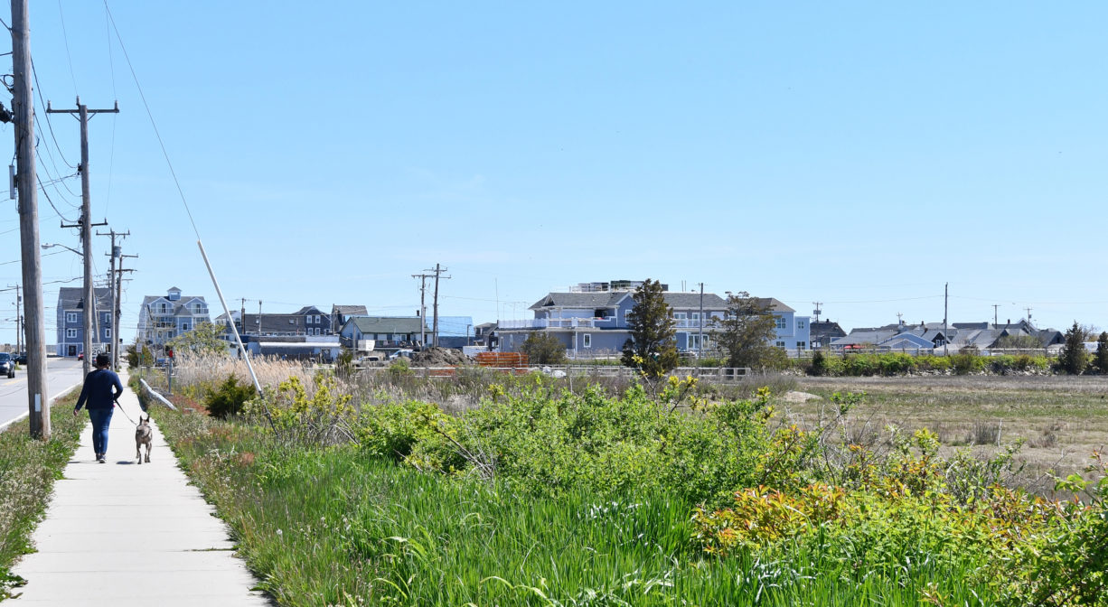
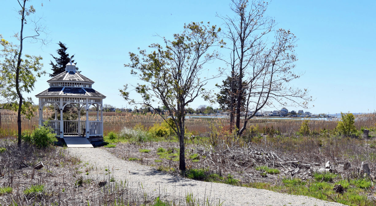
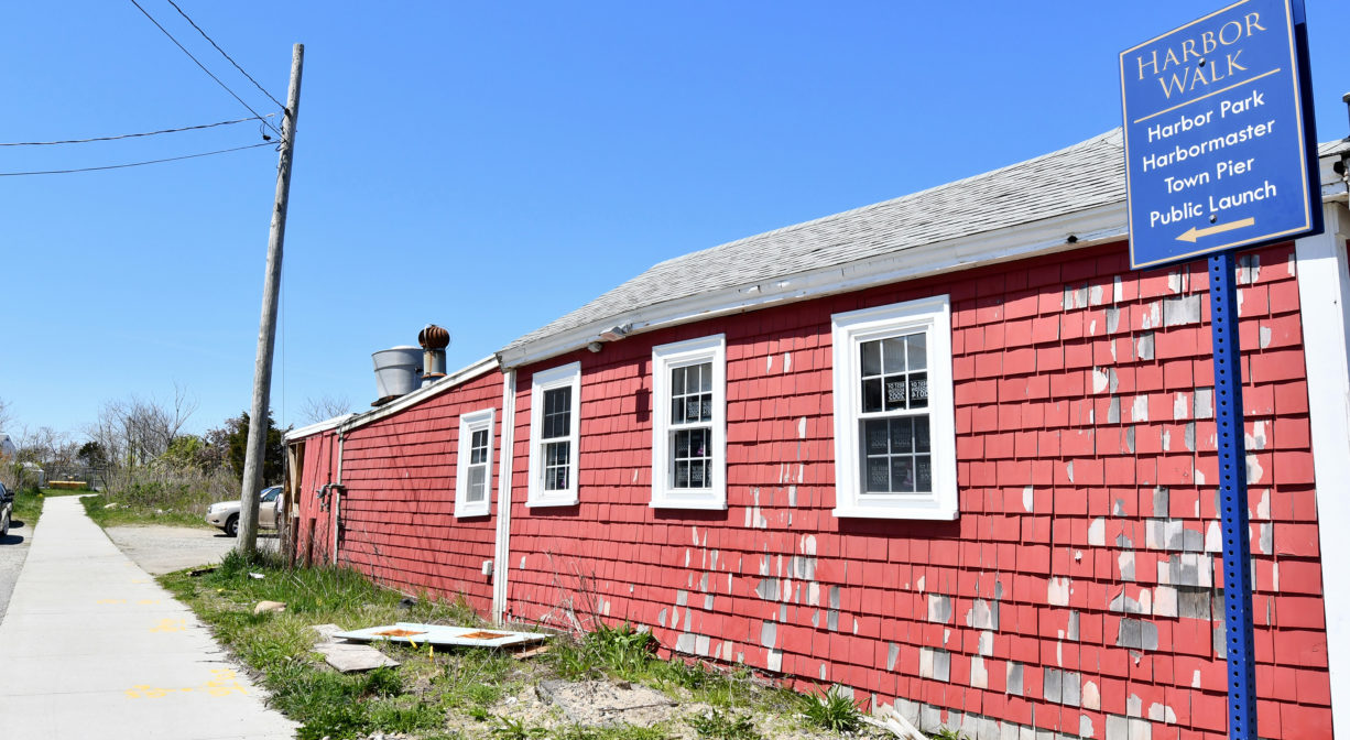
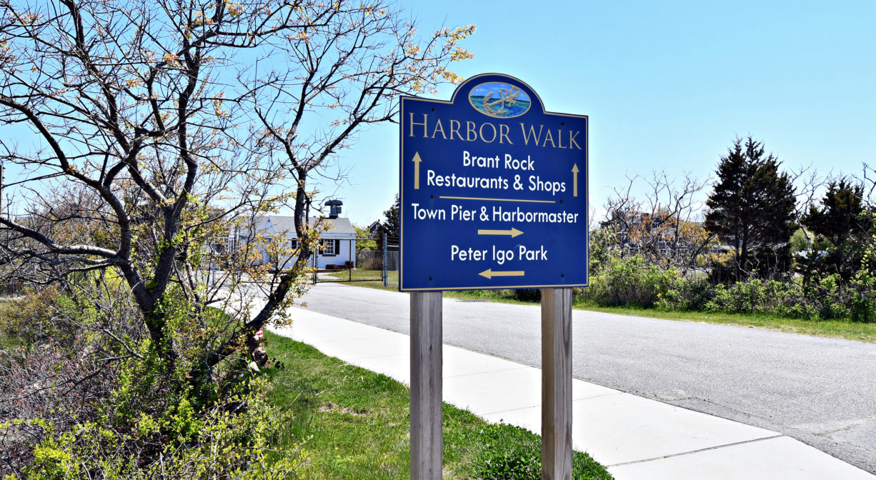
Marshfield’s Harbor Park is a small, grassy town park, located directly on Green Harbor itself. The Harbor Walk is a wide, 1-mile long, sidewalk-type walkway. It connects Harbor Park to the Marshfield Town Pier, the Brant Rock Esplanade, Peter Igo Park, and Wharf Creek Conservation Area. Part of the Harbor Walk extends along Route 139, crossing the Green Harbor River, and continuing to Careswell Street. Both the park and the walking trail are stroller- and wheelchair-friendly.
Hunting is not permitted on this property.
FISHING ADVISORY: It’s important to know that some of our fisheries are contaminated with mercury, PFAS and/or other concerning substances. The Massachusetts Department of Public Health maintains an online database with up-to-date advisories regarding fish consumption, sorted by location. We recommend you consult this valuable resource when planning a fishing excursion.
Features
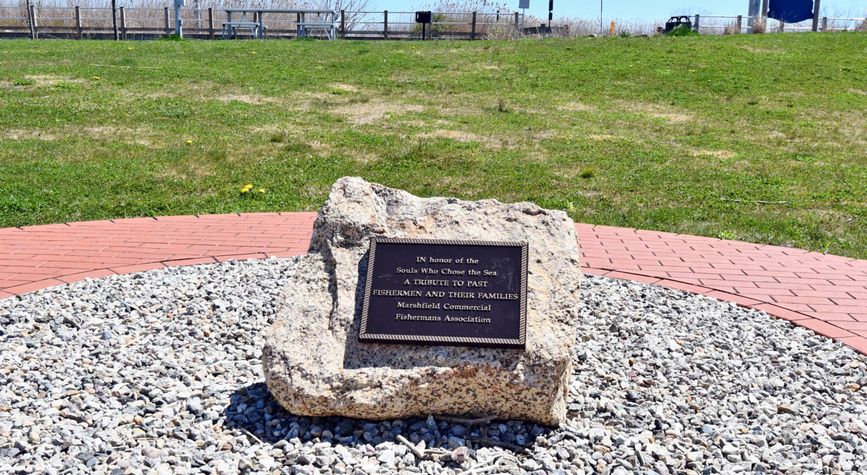
The Marshfield Kiwanis Club maintains the town-owned Harbor Park.
This land is within the region of the Wampanoag tribe. To learn more about local Native American tribes, we encourage you to interact with their members. The Mashpee Wampanoag and the Herring Pond Wampanoag share information on their websites.
The original mouth of the Green Harbor River, which was located on the Marshfield/Duxbury line, more than a half mile south of the present mouth, was closed by a storm in 1806. The present mouth opened in 1810, and dramatically increased the incoming tidal flow to the Green Harbor River. This was a boon to local fishermen, as it improved the harbor’s navigability. However the owners of farms bordering the river saw things differently. The increase in both the volume and the frequency of saltwater flooding to their lands was a big problem, as crops don’t like salt water.
So in 1871, a group of farmers petitioned the court to construct a dike, or tide gate, that would block the flow of saltwater upstream, and create more arable land. The dike was constructed in 1872, with the condition that “Should shoaling take place above the level of mean low water in the channel in consequence of dike construction, it was to be removed by the Marsh proprietors.” Shoaling did occur, and thus began the “Brant Rock Dike Feud.” Read all about it on our blog.
Trail Description
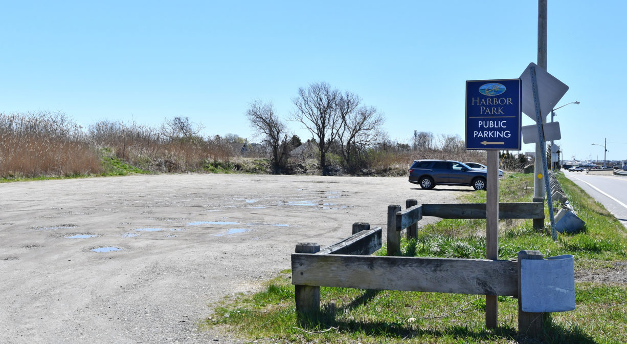
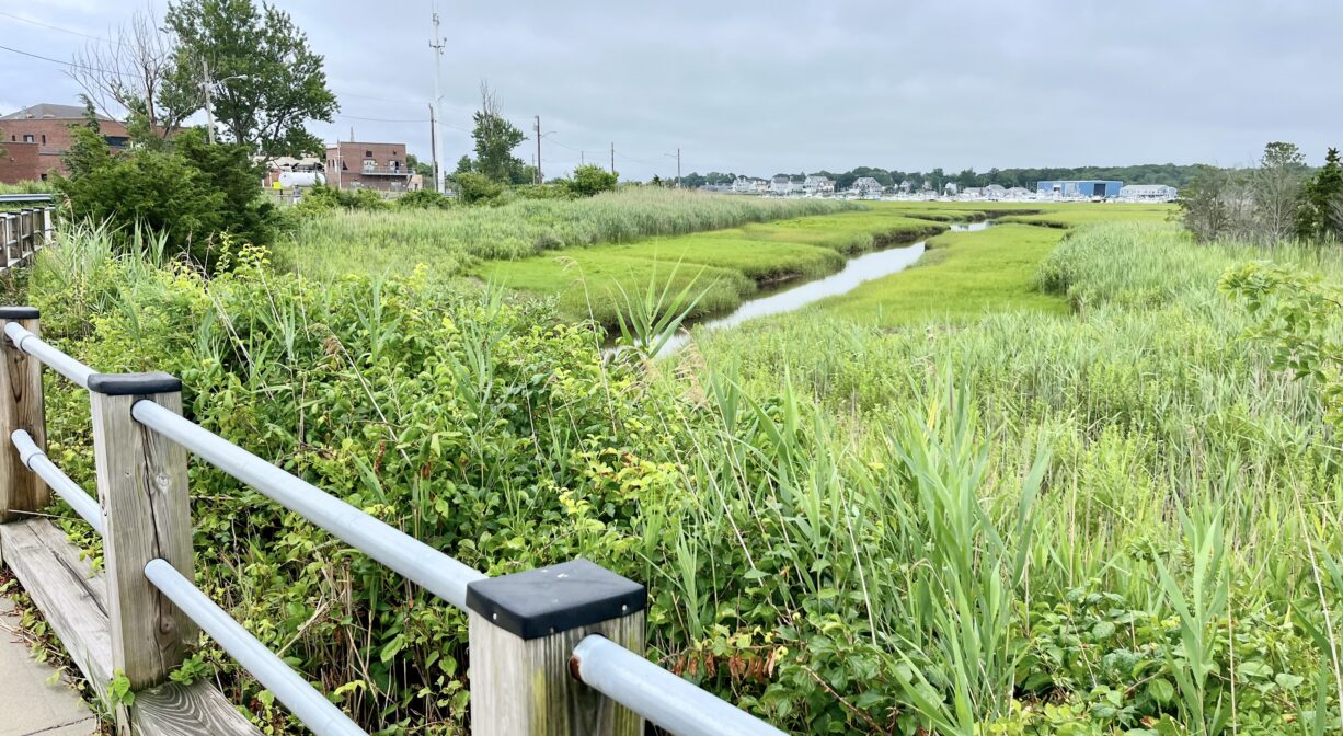
A wide, ADA-accessible concrete walkway extend across, and around the perimeter, of Harbor Park. The Harbor Walk, which is basically a sidewalk, extends between the roadway and the edge of the marsh from the Marshfield Town Pier, past Harbor Park and a parking lot for Brant Rock Beach, and onward to Peter Igo Park, up Route 139, and across the Brant Rock Dike to the Careswell Street entrance to Wharf Creek Conservation Area. Next to the Water Treatment Plant, there is a spur trail to the Brant Rock Esplanade. The total length is about 1 mile.
Habitats and Wildlife
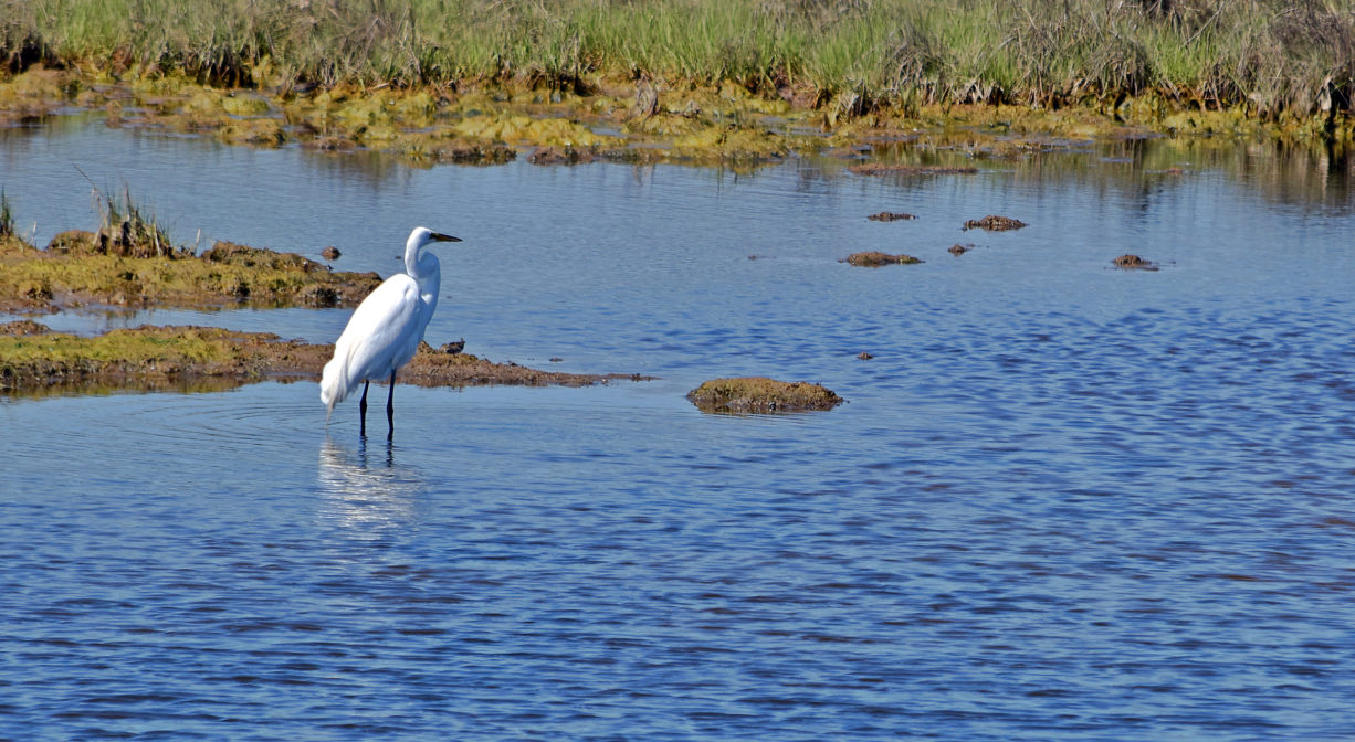
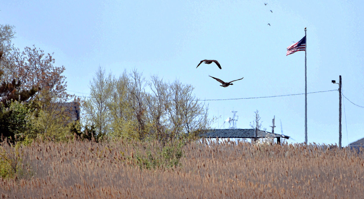
Harbor Park is situated right at the edge of Green Harbor itself. The Harbor Walk extends along the edge of the salt marsh from one side the harbor to the other. This is a prime location for spotting shorebirds. Snowy egrets can often be observed in the marsh.
The Green Harbor River finds its source in springs and ponds in Duxbury. It twists and turns through Marshfield via Red Gold Farm, the Green Harbor Golf Club, the Daniel Webster Wildlife Sanctuary, property owned by the Marshfield Municipal Airport, and Peter Igo Park. Just downstream of the Dyke Road bridge (and dike) it flows into the Atlantic Ocean at Green Harbor.
Historic Site: No
Park: Yes
Beach: No
Boat Launch: No
Lifeguards: No
Size: 2.3 acres
Hours: Dawn to Dusk
Parking: Small parking lot across the street from Harbor Park on Joseph Driebeck Way (Town Pier Road).
Cost: Free
Trail Difficulty: Easy
Facilities:
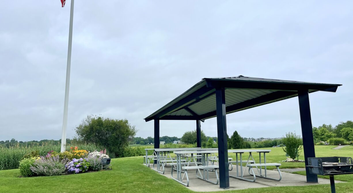
At Harbor Park: benches, covered picnic area, trash receptacles.
Along the Harbor Walk: benches on the Brant Rock Dike (at Green Harbor River).
Dogs: Dogs must remain on leash. Always clean up after your dog!
Boat Ramp: No
ADA Access: Yes
Scenic Views: Yes
Waterbody/Watershed: Green Harbor River