
758 Main St, Marshfield, MA 02050, USA
Marshfield Conservation: 781-834-5573
Owned By: Town of Marshfield
With a total of 775 acres, Carolina Hill Reservation is Marshfield’s largest conservation property. There is an established walking trail network through forested uplands and freshwater wetlands, plus two of the highest elevations in town. There are also some singletrack mountain biking trails. Direct access to Marshfield’s Bridle Path & Rail Trail.
Hunting is not allowed at Carolina Hill Reservation, or at any of Marshfield’s other conservation properties. Motorized vehicles are not permitted.
Features
Efforts to acquire this large property commenced in 1973. The first land purchase was made in 1974, with another, smaller acquisition in 1976. Through the decades since, numerous small parcels have been added. Carolina Hill Reservation is also sometimes known as Harrington’s Wilderness, in honor of H. Warren Harrington, the town’s longtime Conservation Agent.
This land is within the region of the Massachusett (or Massachuseuk). To learn more about local Native American tribes, we encourage you to interact with their members. The Massachusett tribe at Ponkapoag and the Mattakeeset band of the Massachusett share information on their websites.
Trail Description
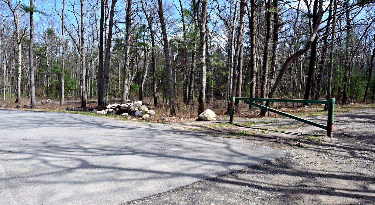
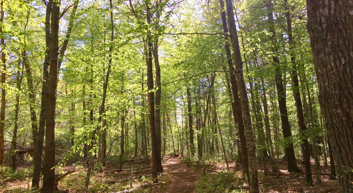
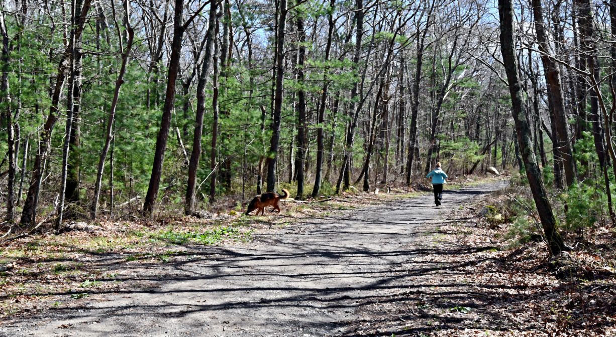
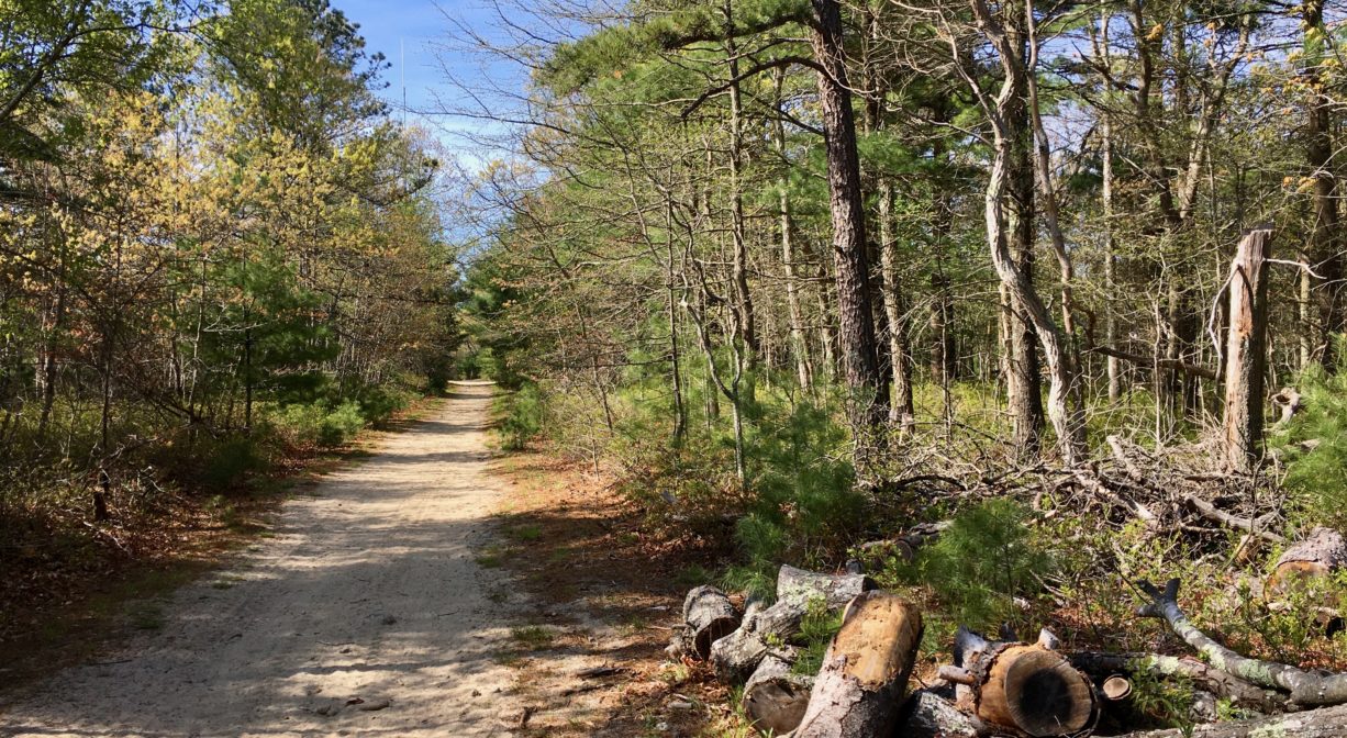
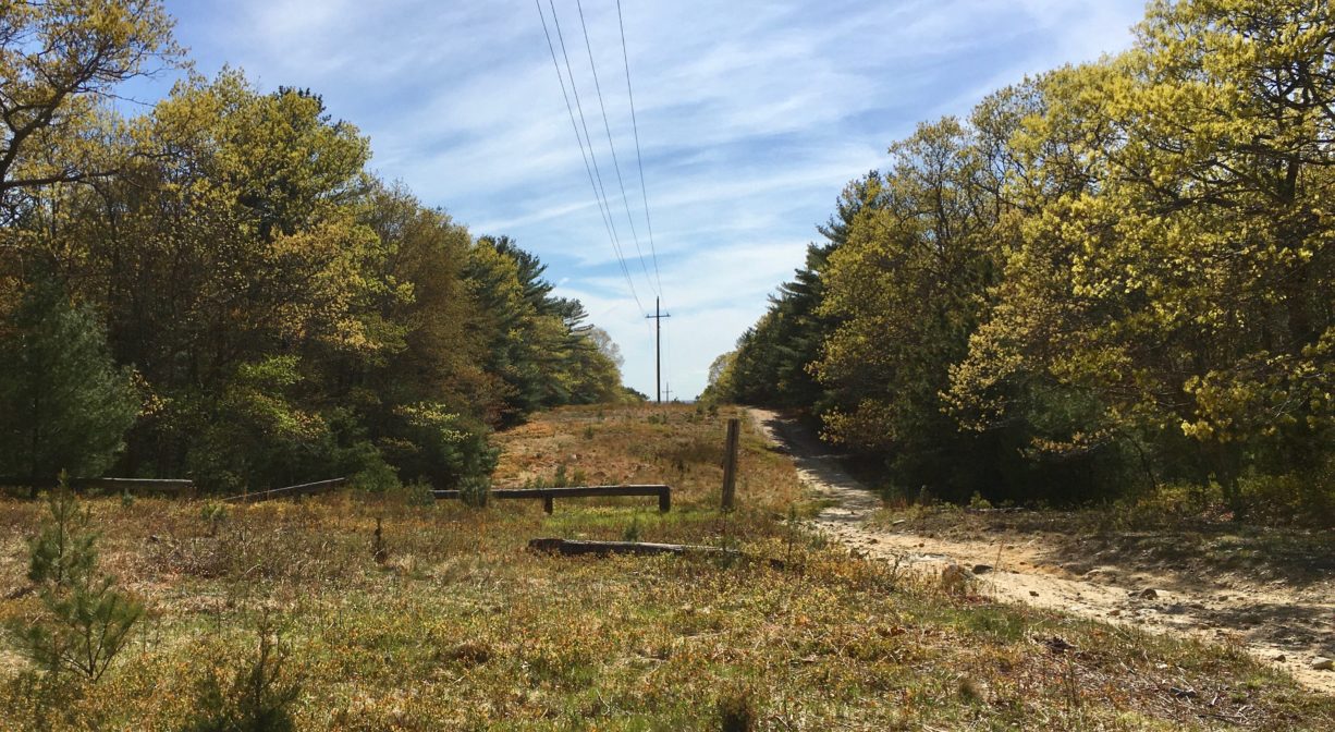
This is a very large property with an elaborate network of walking trails, along with some singletrack mountain biking trails. Some of the trails lead up and down the steep hills along Route 3A. They are narrow and rugged, and at times require careful footwork. Other trails extend along the course of a wide, sandy utility corridor. Still others are of medium width and a more forgiving grade. All are set within a forested upland. Some trails are marked with blazes. Carrying a map is highly recommended.
A long section of Marshfield’s Bridle Path & Rail Trail runs through this property, near the eastern boundary.
Habitats and Wildlife
Look for freshwater wetlands and vernal pools in the lowland areas. These are important to spotted salamanders and spring peepers, along with other amphibian species.
The western slopes of Carolina Hill are part of the Furnace Brook Watershed. Furnace Brook finds its source in springs located on from lands just south of Pine Street. It flows south along the base of Carolina Hill through the Furnace Brook Watershed Conservation Area, through Furnace Pond and Parsons Pond, and eventually into the South River at a tiny property known as South River Junctions, just upstream of Veterans Memorial Park.


Historic Site: No
Park: No
Beach: No
Boat Launch: No
Lifeguards: No
Size: 775 acres
Hours: Dawn to Dusk
Parking: On-site parking on at both 758 Main Street and at the end Eames Way (northern section). Additional access via Ferry Street and the Rail Trail and Bridle Path.
Cost: Free
Trail Difficulty: Easy, Medium
Facilities:
Numerous geocache locations, such as this one.
Dogs: Dogs must remain on leash. Please clean up after your pet!
Boat Ramp: No
ADA Access: No
Scenic Views: Yes
Waterbody/Watershed: Furnace Brook (South River watershed)