
32 New Driftway, Scituate, MA 02066, USA
Owned By: Town of Scituate
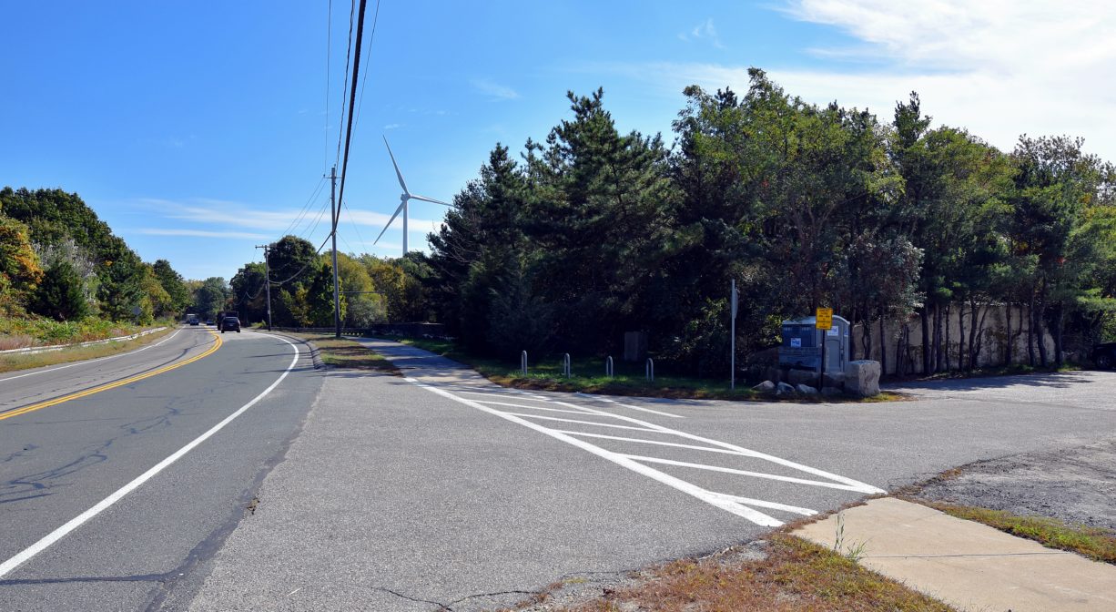
Scituate’s Driftway Multi-Purpose Path is a 1.5-mile paved bicycle and walking trail. It extends alongside The Driftway from the parking area for the Herring River Trail to Gilson Road. Stroller-friendly. It connects such sites as the James Landing Walkway, Driftway Conservation Park, Widow’s Walk Golf Course, and the Scituate Dog Park.
Features
The Multi-Purpose Path provides a pleasant journey from the Herring River Trail, to the James Landing Walkway, to Driftway Conservation Park, and beyond, with numerous river views.
The area known as The Driftway has an interesting history. Beginning in 1914, the Boston Sand and Gravel Company undertook an extensive earth removal project here. Colman’s Hill once stood on the inland side, from the Greenbush railroad station north to Kent Street, offering a broad view of the entire estuary. Little by little, Boston Sand and Gravel carted away the material that made up the hill — first by steam-driven sand scows, then by tugboats and barges, and later by trucks and trains. By 1963, over 14 million tons of sand and gravel had been removed and the hill was gone. That year, a dramatic fire destroyed the sand & gravel company. Later, the Town of Scituate purchased much of the land.
This land is within the region of the Massachusett (or Massachuseuk). To learn more about local Native American tribes, we encourage you to interact with their members. The Mattakeeset band of the Massachusett, and the Massachusett tribe at Ponkapoag, both share information on their websites.
Trail Description
The Multi-Purpose Path is paved, and runs along the edge of The Driftway, more like a sidewalk than a bike lane. The trail is suitable for walking, bicycles, and strollers.
Habitats and Wildlife
The Multi Purpose Path offers views of the Herring River, which is formed by First Herring Brook, and part of the North River watershed.
First Herring Brook finds its source in Scituate in the area west of Route 3A, between First Parish Road and Old Oaken Bucket Road. It flows through the First Herring Brook Reservoir, and downstream to Old Oaken Bucket Pond, passing through two dams and the historic Stockbridge Grist Mill. Below the mill, at the Driftway, it becomes Herring River, a major tributary to the North River. Herring River flows into the North River just upstream of its outlet to the sea.


Historic Site: No
Park: No
Beach: No
Boat Launch: No
Lifeguards: No
Size: 1.5 mile
Hours: Dawn to Dusk
Parking: Parking for the Multi-Purpose Path is available in a small lot on The Driftway, next to Dunkin Donuts. Additional parking at Driftway Conservation Park.
Cost: Free
Trail Difficulty: Easy
Facilities:
Bike storage rack and picnic table next to parking area at Herring River Trail. Numerous picnic tables and benches, as well as a porta-potty, at Driftway Conservation Park.
Dogs: Dogs must remain on leash. Please clean up after your pet!
Boat Ramp: No
ADA Access: Yes
Scenic Views: Yes
Waterbody/Watershed: Herring River (North River watershed)