
250 Driftway, Scituate, MA 02066, USA
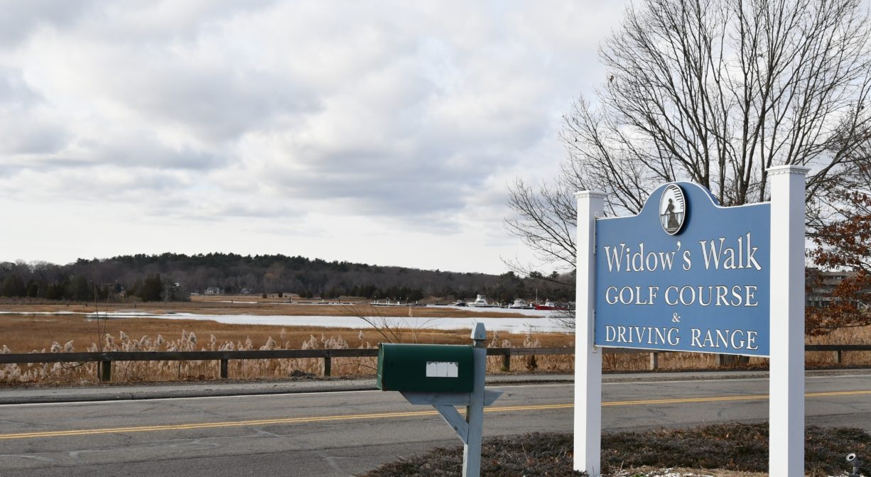
Owned By: Widow's Walk Golf Course
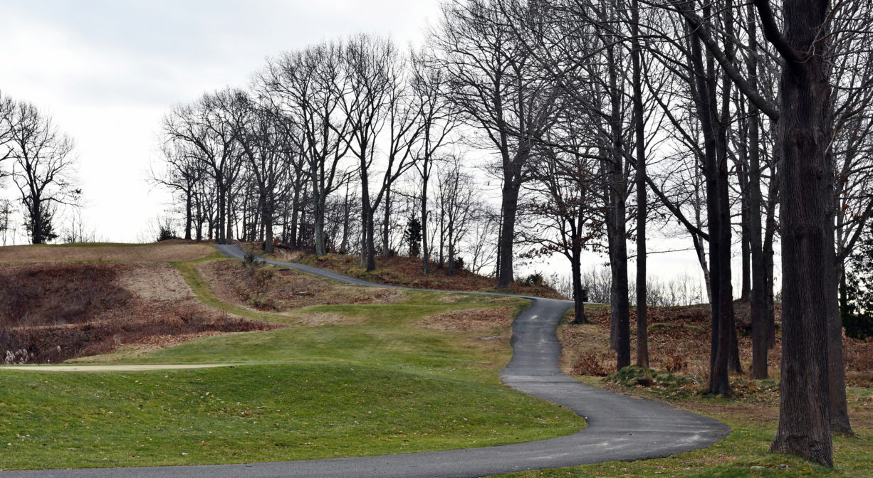
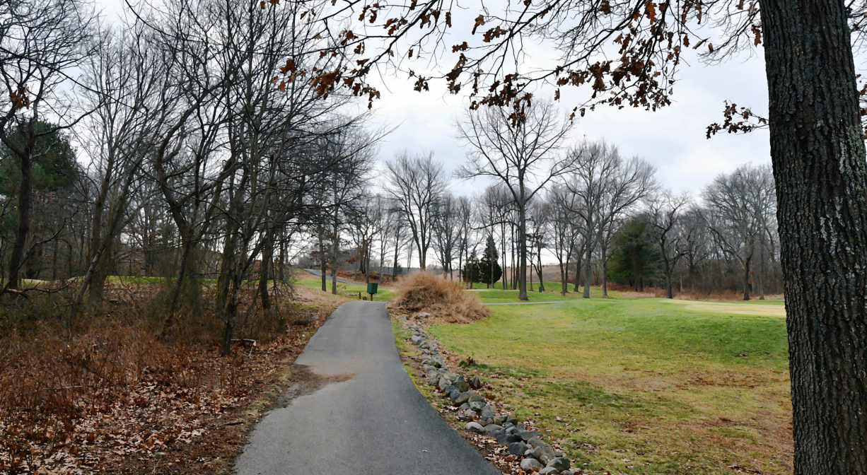
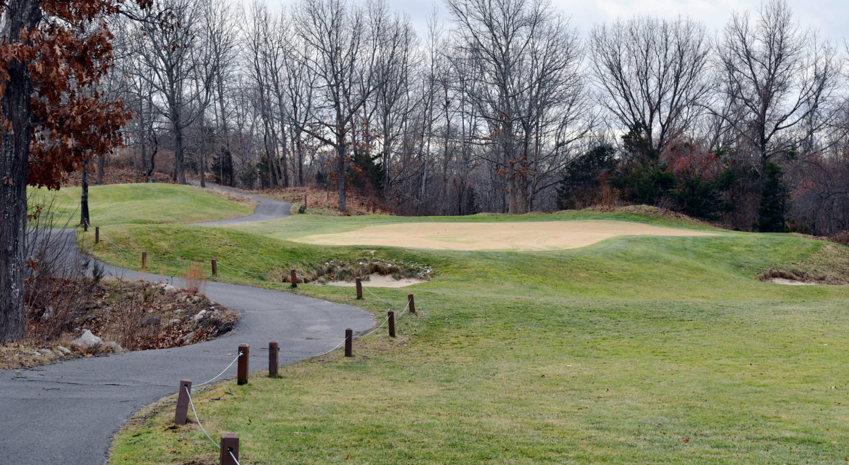
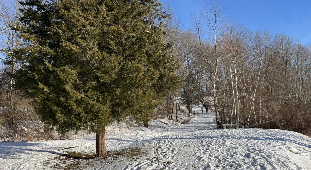
Widows Walk Golf Course is a public facility that opens its fairways and cart paths for walking and birding each year from late December or early January to sometime in March. When there’s snow, sledding and cross-country skiing are permitted as well. The view from the higher elevations is spectacular! Stroller-friendly. Dog-friendly (on leash).
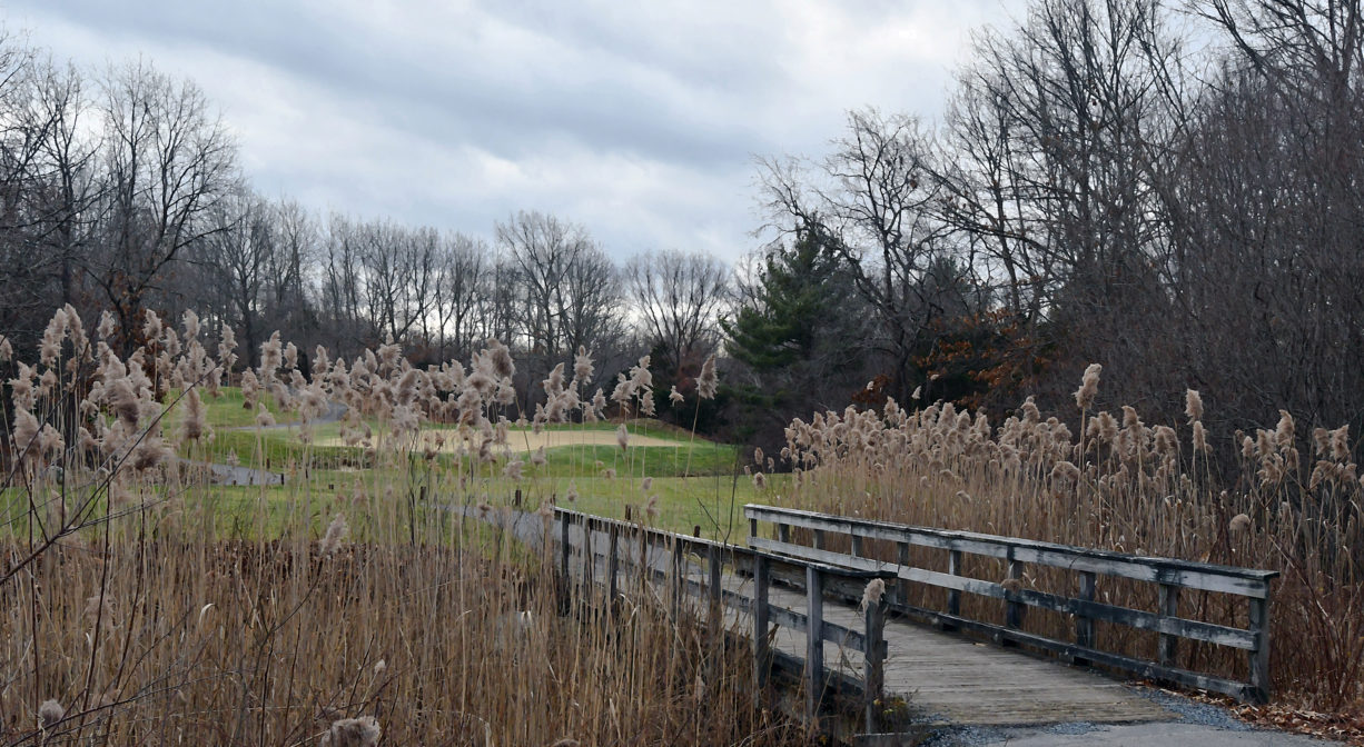
Continue your walk on the Driftway Multi-Purpose Path, which continues in one direction to the James Landing Walkway and Herring River Trail, and in the other direction to Driftway Conservation Park, and the Scituate Dog Park.
Features
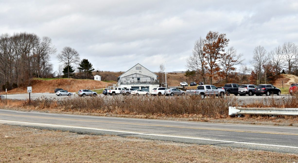
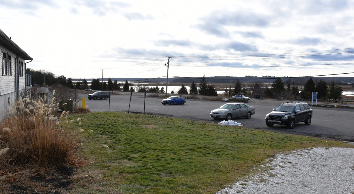
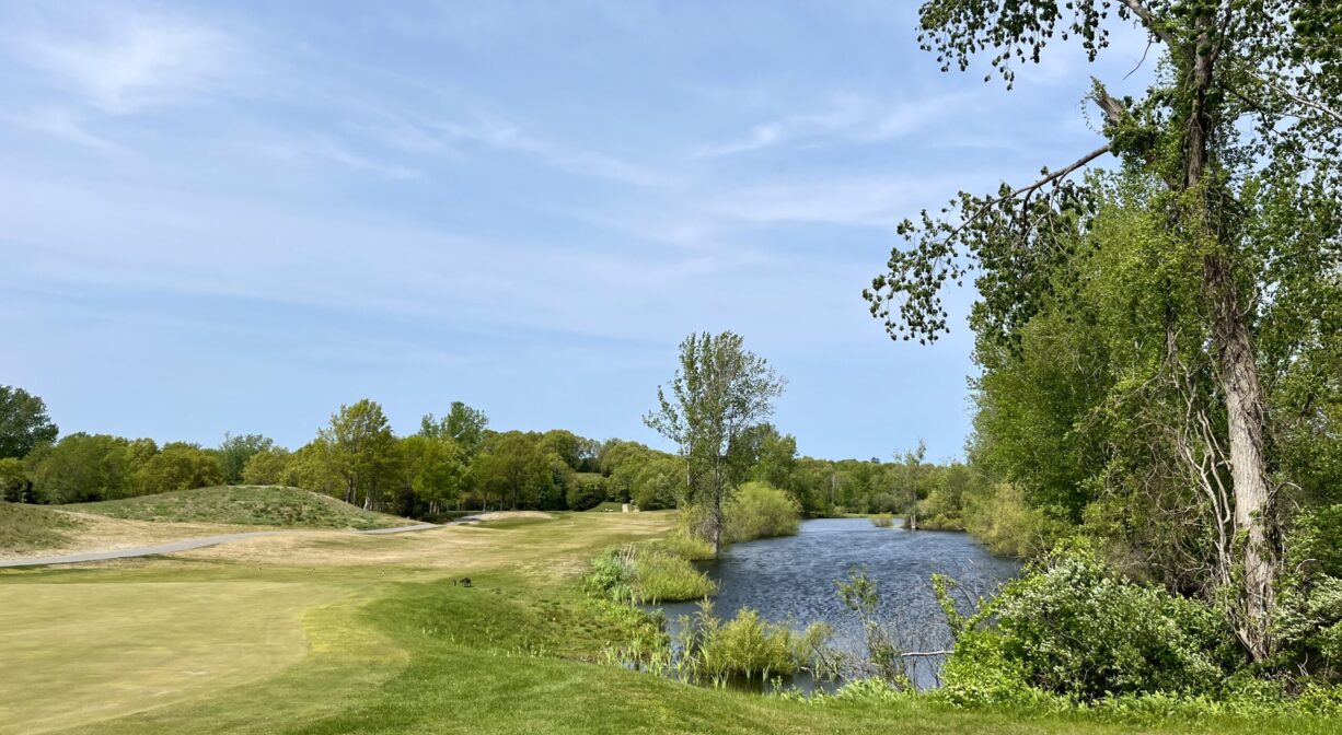
Widow’s Walk is a municipally owned 18-hole golf course with views of the Herring River, the North River mouth, and the Atlantic Ocean. It is located on the site of an abandoned gravel quarry. America’s first “environmental demonstration course,” it opened to much fanfare and national acclaim in 1997. In 2002 it was designated an Audubon International, Certified Audubon Cooperative Sanctuary. This program ensures that the property continues to benefit the environment by providing avian nesting boxes as well as habitats for numerous other species of animals.
Beginning in 1914, the Boston Sand and Gravel Company undertook an extensive earth removal project on this site and beyond. Colman’s Hill once stood on the inland side of today’s Driftway, from the Greenbush railroad station north to Kent Street, offering a broad view of the entire estuary. Little by little, Boston Sand and Gravel carted away the material that made up the hill — first with steam-driven sand scows, then with tugboats and barges, and later with trucks and trains. By 1963, over 14 million tons of sand and gravel were removed and the hill was gone. That year, a dramatic fire destroyed the sand & gravel company.
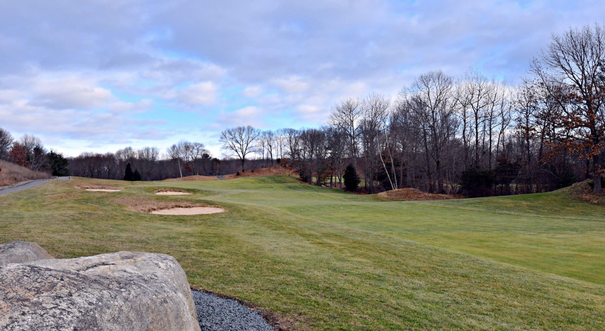
When Widow’s Walk was created, the intention was to impact the environment as little as possible. The designers used the natural contours of the land, as well as the contours left by Boston Sand and Gravel, as architectural tools. As the course has matured, it continues to consider the environment first when planning its turf management practices. Thanks to both the design and the daily management, it uses considerably less water than a typical golf course. Don’t miss the view from the Signature Hole, at the top of the ridge (the remains of Colman’s Hill). It is spectacular.
This land is within the region of the Massachusett (or Massachuseuk). To learn more about local Native American tribes, we encourage you to interact with their members. The Massachusett tribe at Ponkapoag and the Mattakeeset band of the Massachusett share information on their websites.
Trail Description
In the off-season (approx. January 1-March 1), the public is invited to walk along the golf course’s cart paths and greens. There are several miles of trails, both paved and unpaved. Some are flat and some offer considerable elevation.
Habitats and Wildlife
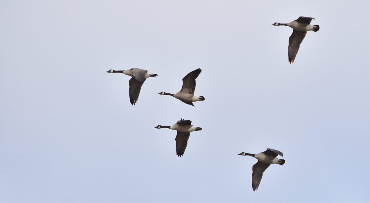
This property was a sand & gravel quarry for many years, and as a consequence, much of the native plant life was destroyed. The construction of the golf course involved creating a new wildlife habitat. Fortunately, this has resulted in the presence of a multitude of waterfowl and migratory and indigenous birds at Widow’s Walk (73 species by one count). Look for tree swallows, purple martins, and eastern bluebirds, as well as common flickers and screech owls. You may see gray squirrels, blue jays and crows gathering acorns around the oak trees. Other trees on the property include tupelo, ash, willow, sumac, birch, cedar, beech, and scrub pine.
The Widow’s Walk website offers a hole-by-hole tip sheet for birders at this link.
Widow’s Walk is located within the watershed of Herring River, which is contiguous with First Herring Brook. First Herring Brook finds its source in Scituate in the area west of Route 3A, between First Parish Road and Old Oaken Bucket Road. It flows through the First Herring Brook Reservoir, and downstream to Old Oaken Bucket Pond, passing through two dams. Below the historic Stockbridge Grist Mill, at the Driftway, it flows into Herring River, a major tributary to the North River. Herring River flows into the North River near The Spit.


Historic Site: No
Park: Yes
Beach: No
Boat Launch: No
Lifeguards: No
Size: 100 acres
Hours: Dawn to Dusk
Parking: On site parking at 250 Driftway, Scituate.
Cost: Free for pedestrians, January 1 to March 1 only.
Trail Difficulty: Easy, Medium
Facilities:
Benches. Dog waste receptacles and bags are provided.
Dogs: Dogs are welcome but must be kept under control, with no waste left behind.
Boat Ramp: No
ADA Access: Yes
Scenic Views: Yes
Waterbody/Watershed: Herring River / North River watershed