
32 New Driftway, Scituate, MA 02066, USA
Town of Scituate: 781-545-8700
Owned By: Town of Scituate
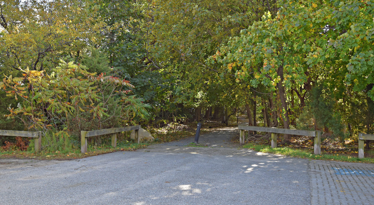
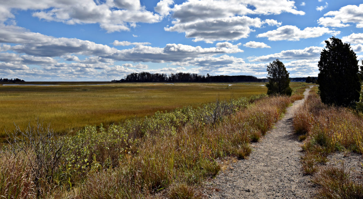
Scituate’s stroller-friendly Herring River Trail extends for 0.4 miles along a former railroad bed through the marshes to the Herring River. Continue your walk on the Driftway Multi-Purpose Path, which continues past the James Landing Walkway to Driftway Conservation Park, Widow’s Walk Golf Course, the Scituate Dog Park, and beyond.
FISHING ADVISORY: It’s important to know that some of our freshwater fisheries are contaminated with mercury, PFAS and/or other concerning substances. The Massachusetts Department of Public Health maintains an online database with up-to-date advisories regarding fish consumption, sorted by location. We recommend you consult this valuable resource when planning a fishing excursion.
Features
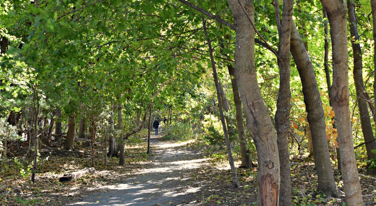
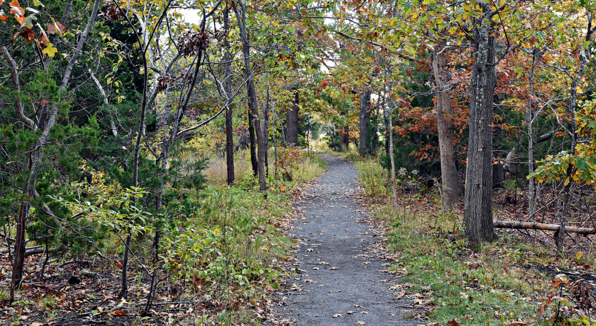
From 1871 to the late 1930’s the Old Colony Railroad traveled through Scituate and Marshfield. In 1938 a hurricane severely damaged the tracks, which were subsequently removed. Here, a small portion of the railroad bed has been converted into a bike/walking trail.
This land is within the region of the Massachusett (or Massachuseuk). To learn more about local Native American tribes, we encourage you to interact with their members. The Mattakeeset band of the Massachusett, and the Massachusett tribe at Ponkapoag, both share information on their websites.
Trail Description
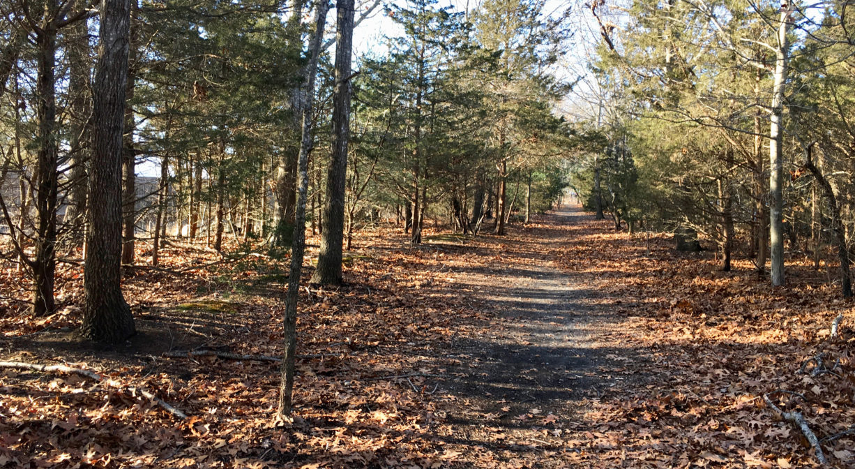
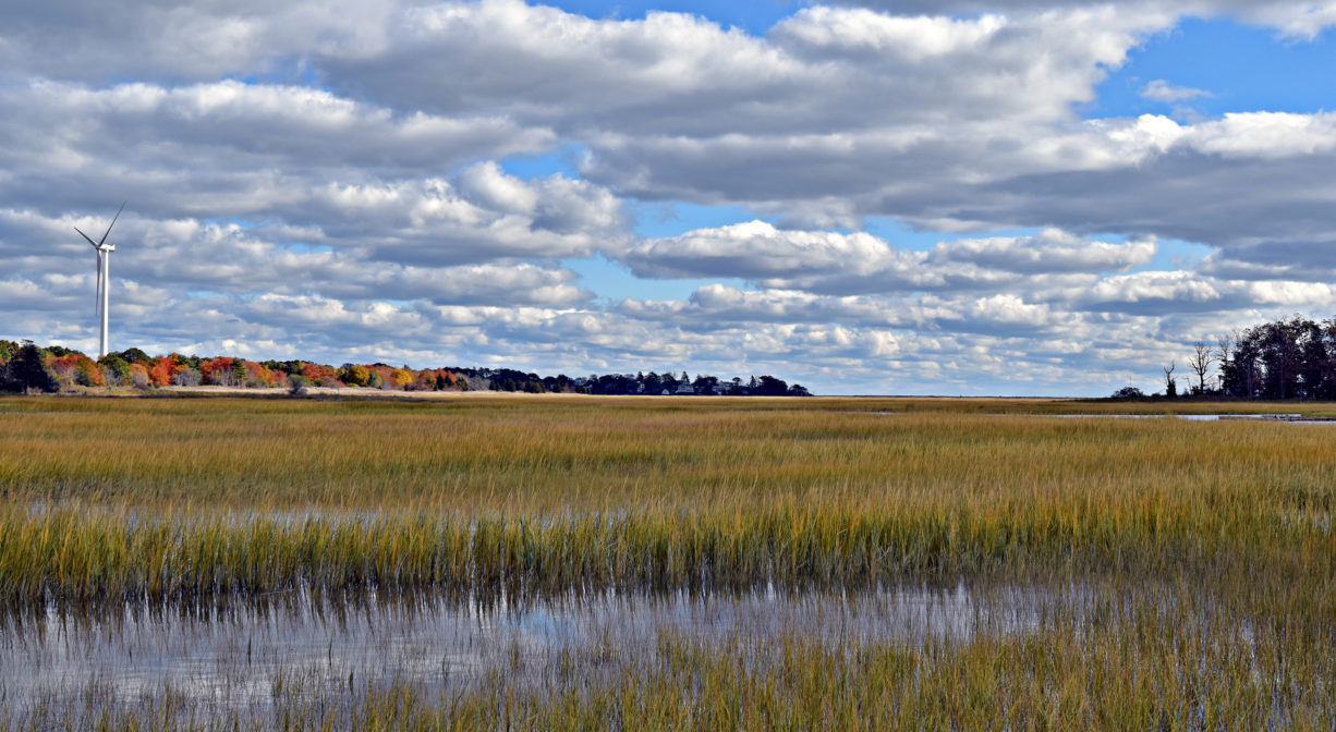
Nature is reclaiming this former railroad bed. There are now trees and shrubs lining the gravel trail as it leads through the marsh to the Herring River. A couple of old chunks of concrete along the way could be used as benches. The trail is suitable for walking, bicycles, strollers, and some wheelchairs.
Immediately adjacent is the Driftway Multi-Purpose Path, a 1.5 mile paved trail where you can extend your journey. Also check out the 0.3-mile James Landing Walkway, which can be accessed from the Multi-Purpose Path. All of this together makes for a nice walk. For more, add the 1.65-mile trail network of Driftway Conservation Park, also accessible from the Multi-Purpose Path.
Habitats and Wildlife
Some of the trees found here include maple, birch, cedar, oak, and pine. Common sightings along this this trail include coyote, fox, squirrel, birds, and reptiles such as the common snapping turtle. Eagles nest nearby.
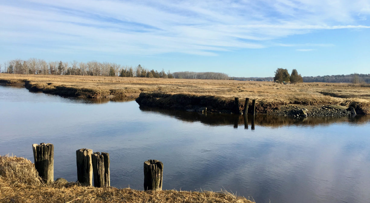
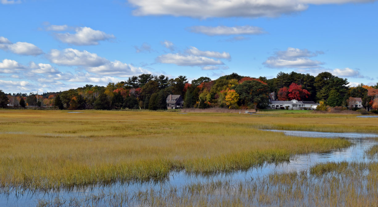
The Herring River can be viewed at the end of this trail … and the view is quite nice!
First Herring Brook finds its source in Scituate in the area west of Route 3A, between First Parish Road and Old Oaken Bucket Road. It flows through the First Herring Brook Reservoir, and downstream to Old Oaken Bucket Pond, passing through two dams. Below the historic Stockbridge Grist Mill, at the Driftway (just upstream of this site), it flows into Herring River, a major tributary to the North River. Herring River flows into the North River near The Spit.


Historic Site: No
Park: No
Beach: No
Boat Launch: No
Lifeguards: No
Size: 0.4 miles
Hours: Dawn to Dusk
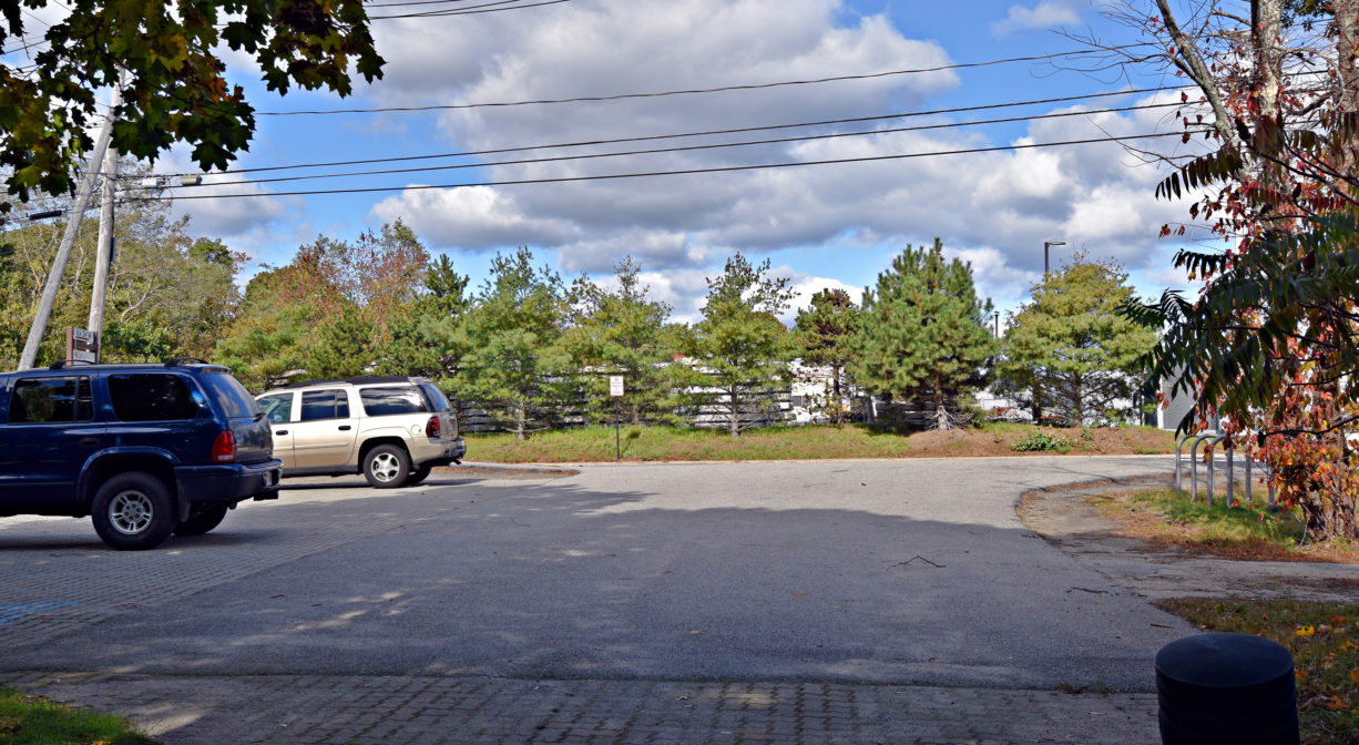
Parking: Limited on-site parking. Look for the small town-owned lot near #32 Driftway, next to Dunkin Donuts (6 vehicles).
Cost: Free
Trail Difficulty: Easy
Facilities:
Bike storage rack, trash receptacle, and picnic table at trailhead. Geocache locations.
Dogs: Dogs must remain on leash. Please clean up after your pet!
Boat Ramp: No
ADA Access: Yes
Scenic Views: Yes
Waterbody/Watershed: Herring River (North River watershed)