
67 Bridge St, Norwell, MA 02061, USA
Owned By: Town of Norwell
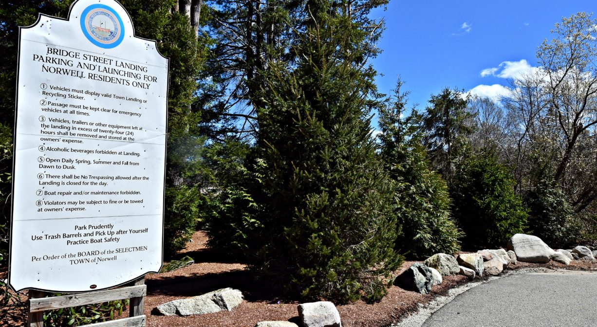
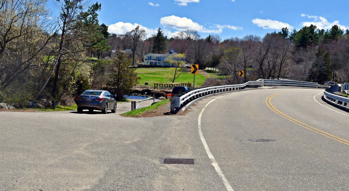
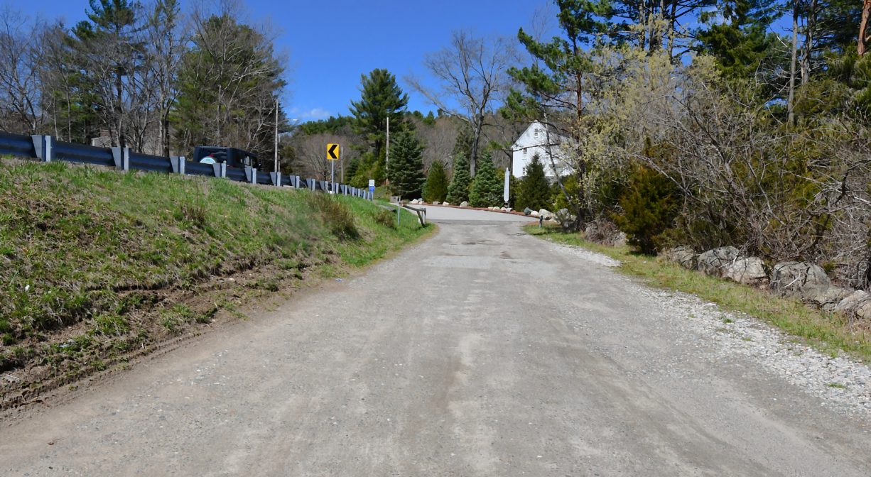
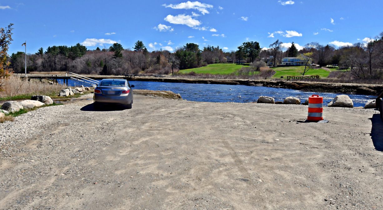
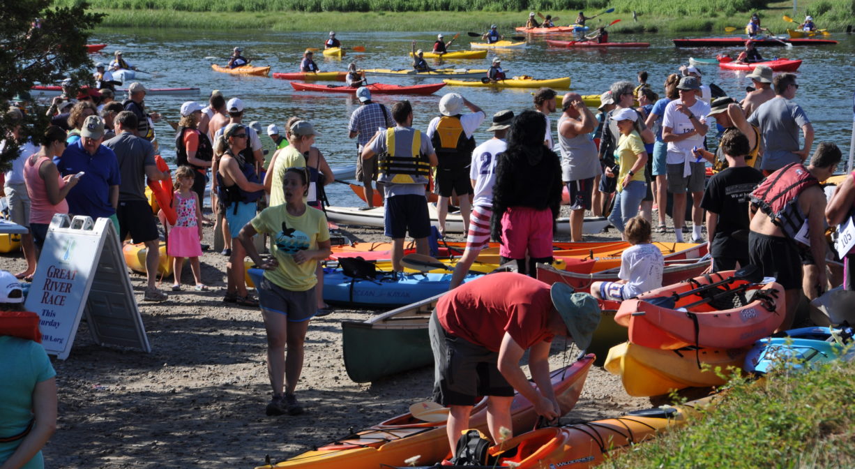
The Norwell Town Landing is located on the North River on Bridge Street, at the Union Street Bridge. The property features a Town Landing with a ramp for boats (for Norwell residents only). This is also the starting line for the NSRWA’s annual Great River Race. On the Marshfield side, there is a public launch for canoes and kayaks. On the water in this area, be aware of swift currents and low bridge clearance.
Tide Math: High tide at the Norwell Town Landing is about 60-90 minutes after the Boston high tide. Set off from here to go clamming!
For related information, please see the listing for Union Street Bridge, as well as Marshfield Launch and Brooks & Tilden Shipyard.
SHELLFISHING: The shellfish beds in both the North and South Rivers are now closed for the season. They are typically open from November 1 to May 31st. Please visit our Shellfishing page for maps and permit info.
FISHING ADVISORY: It’s important to know that some of our freshwater fisheries are contaminated with mercury, PFAS and/or other concerning substances. The Massachusetts Department of Public Health maintains an online database with up-to-date advisories regarding fish consumption, sorted by location. We recommend you consult this valuable resource when planning a fishing excursion.
Features
According to Old Time Anecdotes of the North River and the South Shore by Joseph Foster Merritt, for a few short years beginning in 1893, the North River Boat Club stood immediately adjacent to this site. This was a social club, with races, dances, dinners, and other entertainment held through much of the year. The clubhouse measured 20 x 30 feet, with an awning-covered 10-foot platform in the front, and a narrower platform along the sides. There was a float moored in the river, to which sailboats, rowboats and canoes could pull up. The club ceased to operate after the 1898 Portland Gale, when increased tidal flooding required its boat house to be moved to Winter Street.
The remains of a North River ferry boat are visible from the northern bank of the river, just upstream from here on the Norwell side, at dead low tide. (Water access only.)
The landings on both sides of the Union Street Bridge are ideal places to launch your canoe or kayak. Be aware that there is a tide delay — 1 to 1.5 hours after the Boston high tide.
This land is within the region of the Massachusett (or Massachuseuk) Native American tribe. For thousands of years, the land today known as Norwell was inhabited by indigenous people who grew crops, foraged, hunted, and fished in the Assinippi and North River areas. Circa 1617, a major outbreak of disease decimated an estimated 90% of the native population in New England. Descendants of these original inhabitants are living here today. They are known as the Mattakeesett Tribe of the Massachusett Indian Nation, the Massachusett Tribe at Ponkapoag, the Herring Pond Wampanoag, and the Mashpee Wampanoag tribe.
Trail Description
No trails. Suggested paddling excursions from this location are listed below. Timing is approximate and depends quite a bit on wind, tide, and your own strength and stamina.
• Put your boat in the water around the time of ocean low tide and paddle downstream to Cove Creek. Explore the creek and then return with the rising tide upstream to your starting place. (2+ hours)
• Put your boat in the water about 1 hours before ocean low tide and paddle downstream to Damon’s Point and the North River estuary. Then ride the rising tide back upstream to your starting place. (2.5+ hours)
• Put your boat in the water 1-2 hours before ocean high tide and head upstream to Couch Beach. Stretch your legs at Couch Beach and then return with the slack/receding tide. (3+ hours)
• Stage a second vehicle at Damon’s Point or Driftway Conservation Park. Return to Marshfield Launch and put your boat in the water 2-3 hours after ocean high tide, then take a one-way trip with the outgoing tide to your second vehicle. (1-2 hours)
• Stage a second vehicle at Pembroke Town Forest or Hanover Public Launch. Return to Marshfield Launch and put your boat in the water 2-4 hours before ocean high tide, then take a cone-way trip with the incoming tide to your second vehicle. (3-4+ hours)
Habitats and Wildlife
This property is located directly on the North River.
The North River rises from marshes and springs in Weymouth, Rockland and Hanson. It is approximately 10 miles in length, with its source at the confluence of the Indian Head River (Hanover) and Herring Brook (Pembroke). From there it flows through the towns of Hanover, Pembroke, Marshfield, Norwell, and Scituate to the Atlantic Ocean between Third and Fourth Cliffs, draining approximately 59,000 acres along the way.


Historic Site: No
Park: No
Beach: No
Boat Launch: Yes
Lifeguards: No
Hours: 8 am - 8 pm. To access earlier in the morning call town of Norwell.
Parking: Limited on-site parking for Norwell residents. Green Norwell recycling sticker required. On residents, visit the Marshfield Launch, across the river.
Cost: Free with Norwell sticker.
Facilities:
Bench, concrete boat launch ramp, informational kiosk.
Dogs: Dogs must remain on leash. Always clean up after your dog!
Boat Ramp: Yes
ADA Access: No
Scenic Views: Yes
Waterbody/Watershed: North River