
2 Indian Head Dr, Hanover, MA 02339, USA
Owned By: Town of Hanover
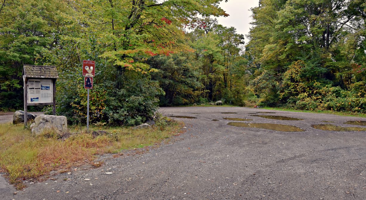
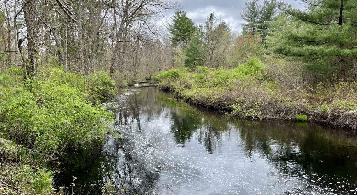
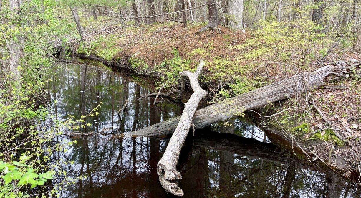
This public canoe and kayak launch offers access to the Indian Head River, Herring Brook, and the North River. It is also the “take out” location for the NSRWA’s annual Great River Race. This section of the Indian Head — between Chapman’s Landing and Ludden’s Ford — is a popular spot for shad fishing.
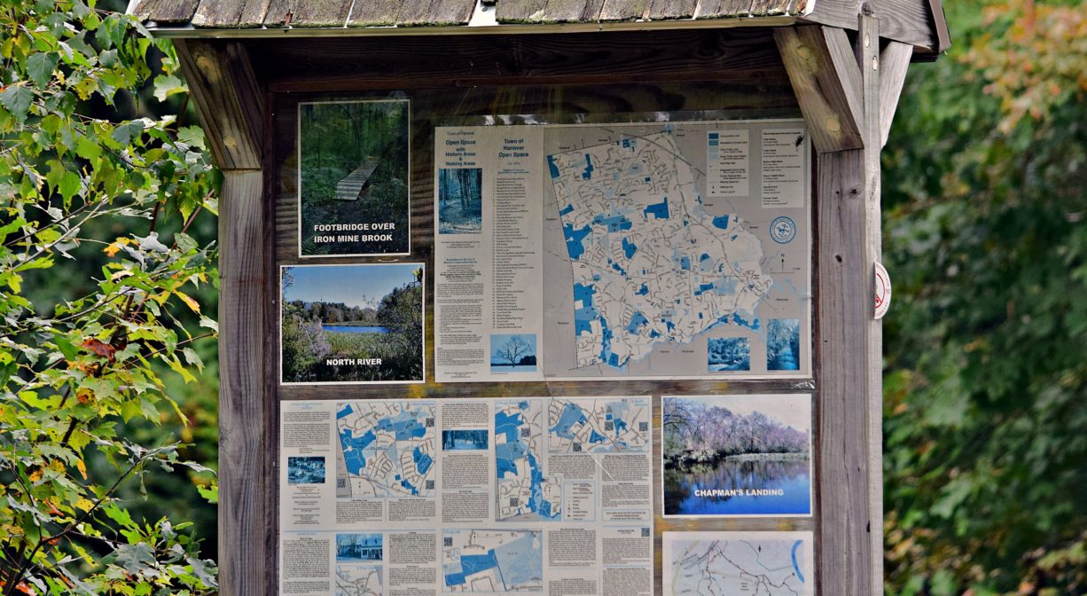
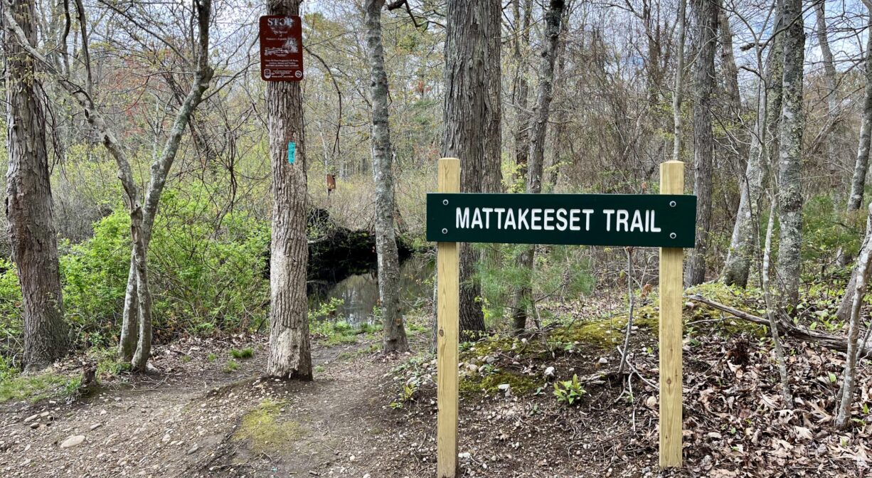
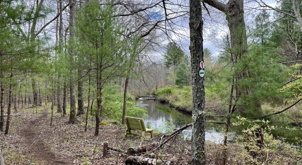
There are three Hanover Conservation trailheads here – two at Chapman’s Landing and Iron Mine Brook, plus the Mattakeeset Trail, which links to Ludden’s Ford Park in Hanover.
Hunting is not allowed on this property.
Tide Math: High tide at the Hanover Public Launch is about 3-4 hours after the Boston high tide.
FISHING ADVISORY: It’s important to know that some of our freshwater fisheries are contaminated with mercury, PFAS and/or other concerning substances. The Massachusetts Department of Public Health maintains an online database with up-to-date advisories regarding fish consumption, sorted by location. We recommend you consult this valuable resource when planning a fishing excursion.
Features
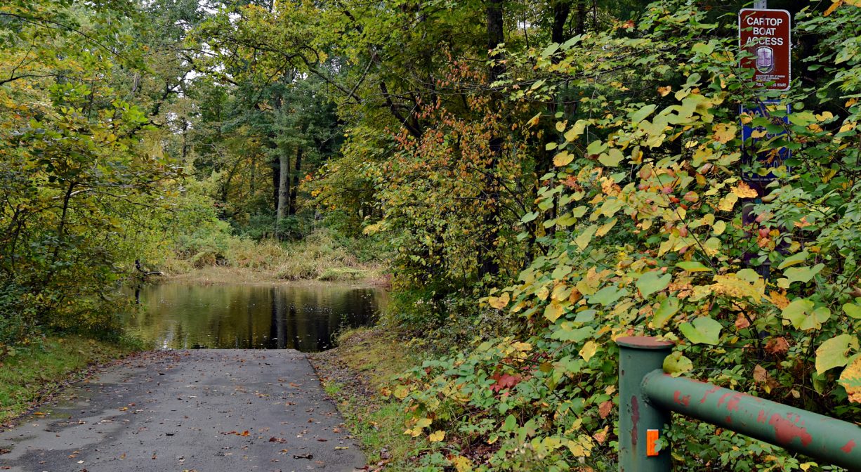
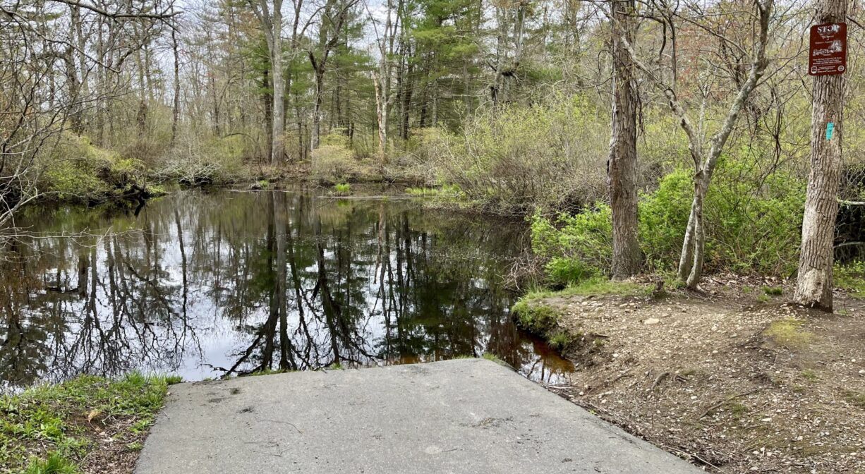
The Hanover Public Launch is ideal for canoes and kayaks. Be aware that there is a significant tide delay this far upriver… 3 to 3.5 hours after the ocean high tide. Immediately downstream of this launch site, especially in the summer, the river can be quite shallow when the tide is out. You may have to step out of your boat and nudge it downstream from time to time. But at mid- and high tides, it is quite navigable!
This land is within the region of the Massachusett (or Massachuseuk) Native American tribe. The Mattakeeset band of the Massachusett lived for thousands of years in the North River watershed. Their village included most of today’s Pembroke and Hanson. To learn more about local Native American tribes, we encourage you to interact with their members. The Massachusett tribe at Ponkapoag and the Mattakeeset band of the Massachusett share information on their websites.
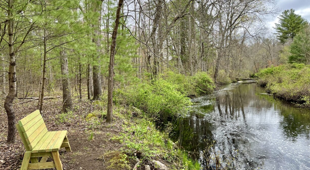
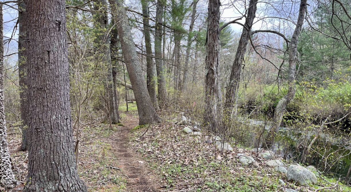
Trail Description
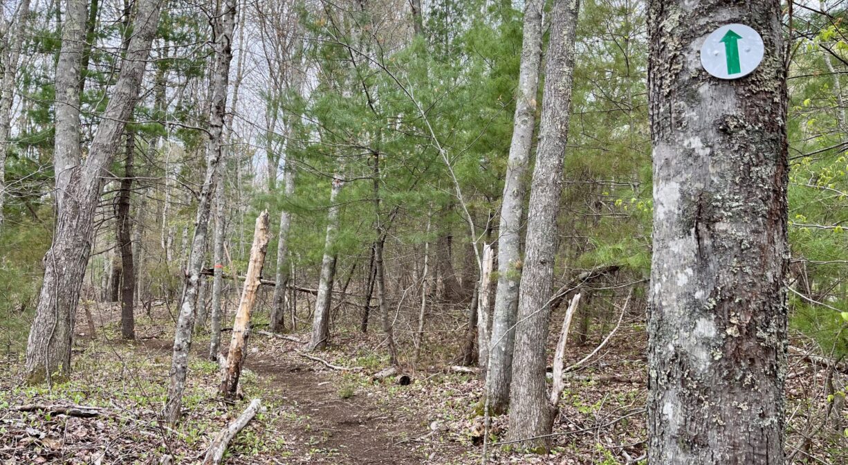
The 0.26-mile Mattakeeset Trail begins at the launch area, and extends parallel to Indian Head Drive, within view of the river. Cross Elm Street to connect with the 4-mile Indian Head River Trails system at Ludden’s Ford Park in Hanover. In addition, on the opposite side of the launch area, you’ll find access to the Chapman’s Landing and Iron Mine Brook Trails.
Here are some suggestions for paddling excursions (Timing is approximate and depends quite a bit on wind, tide, and your own strength and stamina.):
• Put your kayak in the water at ocean high tide or within an hour after. Paddle downstream past the Washington Street Bridge and onward to Pembroke Town Forest while the tide is relatively slack, and and then return to your starting place with the incoming tide. (3+ hours total)
• Put your kayak in the water at ocean high tide or within 1-2 hours after. Paddle downstream to the Washington Street Bridge, and and then return to your starting place. (2+ hours total)
• Stage a second vehicle at the Pembroke Town Forest. Return to Hanover Public Launch and put your kayak in the water 3 hours after the ocean high tide. Enjoy a one-way excursion to Pembroke, with views along the way of Herring Brook, the Washington Street Bridge, Third Herring Brook, and Fox Hill Shipyard. (1-2+ hours total)
• Stage a second vehicle at the Marshfield Launch at Union Street Bridge. Return to Hanover Public Launch and put your kayak in the water 2-3 hours before the ocean high tide. Enjoy a one-way excursion to Marshfield, with views along the way of Herring Brook, the Washington Street Bridge, Third Herring Brook, Fox Hill Shipyard, Route 3, Couch Beach, and various historic shipyards. (3+ hours total)
Habitats and Wildlife
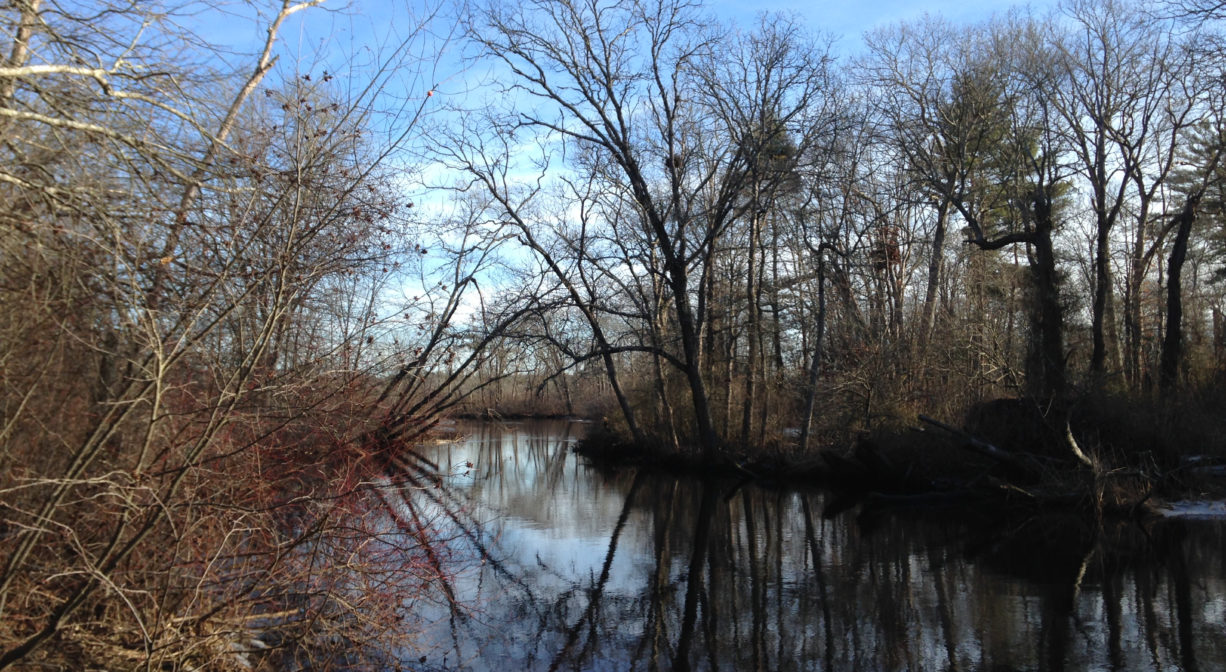
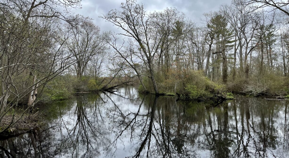
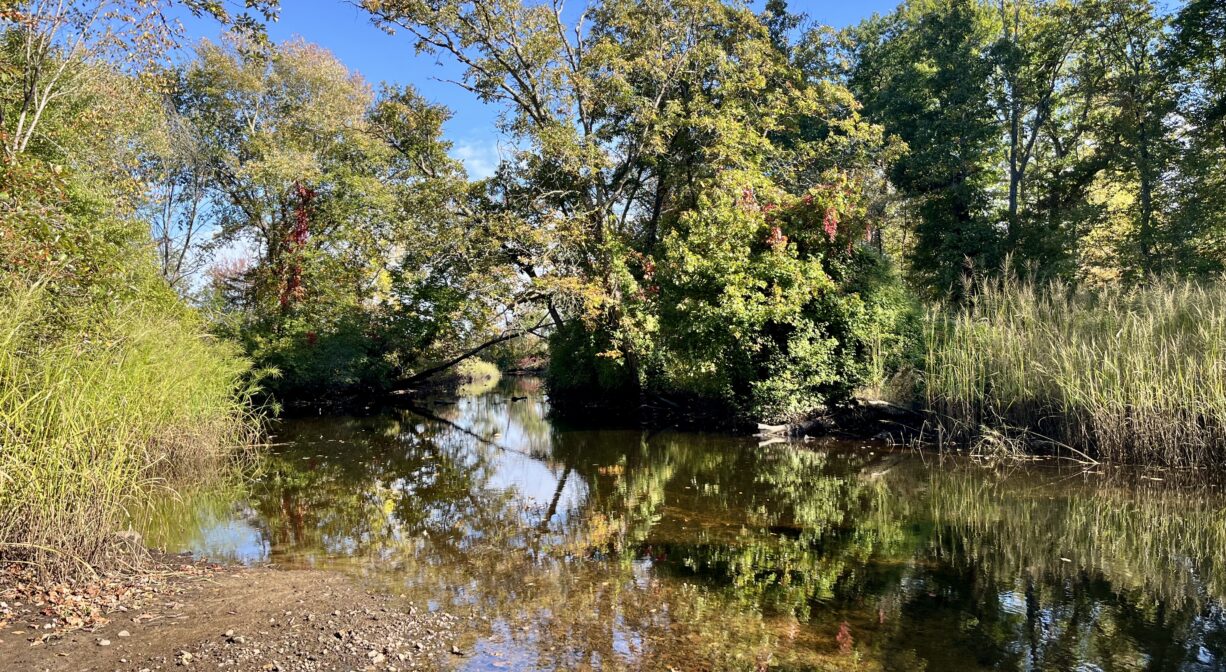
This property is located on the Indian Head River, which rises from the Drinkwater River and Factory Pond in West Hanover. The Indian Head forms the boundary between Hanover and Hanson, and merges with Pembroke’s Herring Brook, a short distance downstream of Ludden’s Ford Park, to form the North River at a spot called The Crotch. The North River flows 12 miles through Pembroke, Hanover, Norwell, Marshfield and Scituate, eventually making its way to Massachusetts Bay and the Atlantic Ocean.
The area known as The Crotch is one of only three major freshwater tidal marshes in Massachusetts. (Water access only.) Herring swim up to The Crotch from the North River, and head farther upstream, into Herring Brook and the Indian Head. At this part of the river, there is no trace of salt in the water. Everywhere downstream from here, there is at least a little — and sometimes a lot — of salinity. Upstream from here, the water is completely fresh.
Even though The Crotch is 11 miles from the mouth of the river (6 miles as the crow flies), it is only about 3 feet above sea level. High tide at the ocean is about five feet above sea level. The Crotch is about 2 feet below sea level at high tide. From here, upstream to the dam on the Indian Head River and to Route 14 on Herring Brook, the marsh is a freshwater tidal marsh. It is the second largest freshwater tidal marsh in Massachusetts (after the Merrimack River).
Especially in the shallow stretch of river between the Hanover Public Launch and The Crotch, look down through the water while you’re paddling or fishing, and you may see freshwater mussels (most likely the Eastern Elliptio variety). These important bivalve mollusks filter the water, provide nutrient cycling, and serve as important food sources for mink, otter and muskrat. Freshwater mussels use fish to spread their populations. Mussel larva stick to the gills of such hosts as eel, perch and brook trout, and thus are transported into other water areas. Other fish commonly observed here include redfin pickerel, catfish, and sunfish. Wild rice grows near The Crotch.
Check out this link to a restoration project NSRWA completed in 2017 with the Town of Hanover, to restore brook trout habitat here. In short, we removed a road that went nowhere, and removed a culvert that was impeding fish passage. Iron Mine Brook is fed by cool groundwater and thus provides a refuge for brook trout from the much warmer waters found downstream of the Ludden’s Ford dam (Indian Head River).
You can experience this yourself by going to the Hanover Canoe Launch and getting in the water. As you wade in, notice the temperature of the water — which has been heated by the damming of the river upstream. Then wade over to the left, where Iron Mine Brook enters the Indian Head. It’s much cooler! You can immediately detect about a 10 degree difference in water temperature. This cooler water that is oxygen-rich. It affords brook trout some respite during the warmer months. (They cannot live in water temperatures about 70 degrees.)
Historic Site: No
Park: No
Beach: No
Boat Launch: Yes
Lifeguards: No
Size: 5 acres
Hours: Dawn to Dusk
Parking: On-site parking at the end of Indian Head Drive.
Cost: Free
Trail Difficulty: Easy
Facilities:
Canoe/kayak launch. Informational kiosk. Geocache location. Small boats can be launched here at high tide, but the river is shallow, and there are many submerged rocks. A trawling motor is recommended over an outboard.
Dogs: Dogs must remain on leash. Always clean up after your dog!
Boat Ramp: Yes
ADA Access: No
Scenic Views: Yes
Waterbody/Watershed: Indian Head River (North River watershed)