
68 Peabody Rd, Marshfield, MA 02050, USA
Marshfield Conservation: 781-834-5573
Owned By: Town of Marshfield
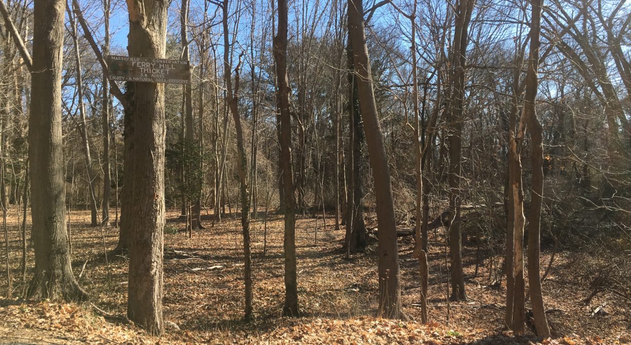
Ferry Hill Thicket is a 6-acre conservation property in Marshfield with a 0.4-mile trail through mixed forest and wetlands. An oasis for migrating birds, it is located diagonally across the street from the JPH Organization at Ferry Hill.
Hunting is not allowed at Ferry Hill Thicket, or at any of Marshfield’s other conservation properties.
Features
A great spot for birders, these 6 acres of Marshfield Conservation land are tucked into a valley between two residential areas. This property was one of the very first to be acquired by the Town of Marshfield as conservation land, in 1966.
This land is within the region of the Massachusett (or Massachuseuk). To learn more about local Native American tribes, we encourage you to interact with their members. The Massachusett tribe at Ponkapoag and the Mattakeeset band of the Massachusett share information on their websites.
About the neighborhood: According to W. Ray Freden’s blog post “Ferry Hill’s Early Days,” Ferry Hill was named for the ferry on the area’s eastern shore, which was ordered by the Plymouth Colony Court in 1638 at the spot where the Pilgrim Trail crossed the North River (now the South River). Jonathan Brewster was the first ferryman. In 1641, he sold the service, which transported both men and cattle across the river to Scituate, to Barker and Howell. Ralph Chapman later ran the ferry service, and then in 1712 Benjamin White, grandson of Peregrine White, took over. There is an historic marker for White’s Ferry at today’s Sea Street Bridge.
The 70-acre, 70-foot high hill was forested when European settlers arrived in the area. Its northern end became a mecca for shorebird hunters in the 1800’s. Numerous hunting blinds were established, targeting species such as yellowlegs, whimbrels, long billed curlews, black-bellied plovers, golden plovers, and sanderlings. After the railroad came to Marshfield in 1871, sportsmen would often travel to Ferry Hill by way of the Seaview train station, and hire locals to guide them. This continued until 1918, when the Migratory Bird Treaty Act outlawed shorebird hunting, and limits/seasons were established for hunting waterfowl.
In 1888, George Ireland bought all the available land on Ferry Hill and began developing it into small lots, geared for tents and hunting camps. In the mid-1920’s, the Crosby Water Co. built a pumping station and water storage tank on Ferry Hill (on today’s Ireland Road, by Carleton Road). Wells were established nearby, in a wetland area with springs that is today’s Ferry Hill Thicket. The water company supplied not only Ferry Hill, but the Seaview and Humarock neighborhoods nearby. Larger, more permanent houses soon replaced the tents and hunting camps. By 1930, about 100 homes stood on Ferry Hill. Due to insufficient wastewater management, the wells became polluted and the Crosby Water Co. shut down in 1946.
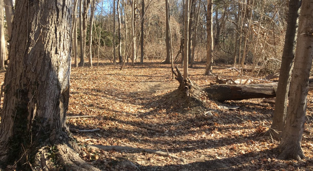
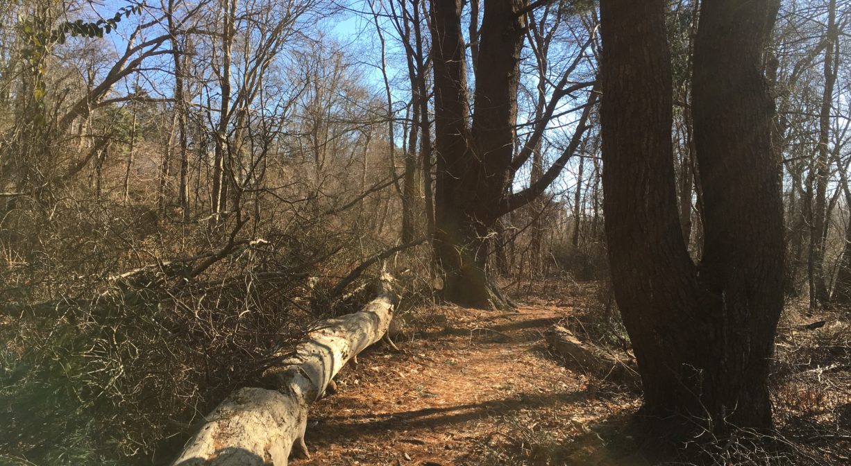
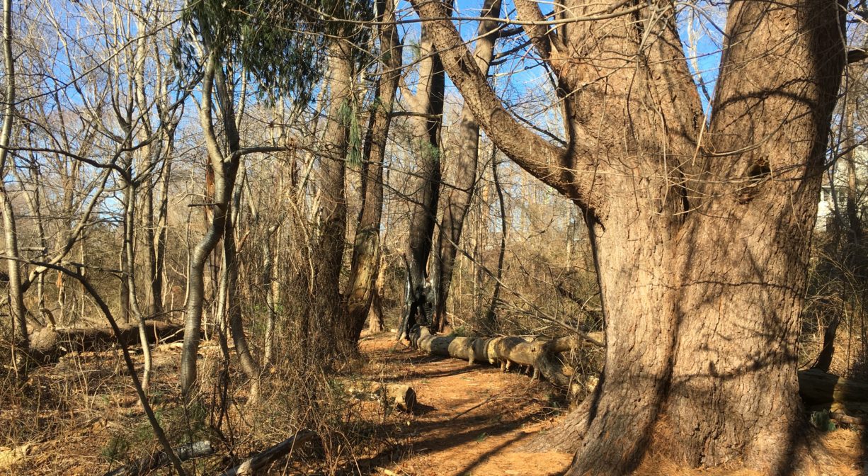
Trail Description
The trail is short – not even a half-mile. It provides a pedestrian connection between Ferry Hill Road and Peabody Road. You’ll find the trailhead just past, and across the street, from the JPH Organization at Ferry Hill.
Habitats and Wildlife
Within this tiny property, you’ll find maple, holly, cedar, oak, and birch, plus some really large pine trees and lots of greenbrier. There is a small stream with wetlands around it. Watch and listen for warblers in the spring.
Ferry Hill Thicket is within the watershed of Little’s Creek, which flows into the South River just downstream of the river mouth.
The South River originates deep in Duxbury. Its source is in the Round Pond area, and from there it winds unobtrusively through the woods for several miles. Although one can view it from Route 3, and also from both the South River Bog and the Camp Wing Conservation Area, it remains a narrow and mostly un-navigable stream until just below Veterans Memorial Park. From there it flows through South River Park, behind the playground of South River School, and under the Willow Street and Francis Keville Bridges. Wider at that point, and navigable at most tides, its course winds through the marshes as it runs parallel to Route 139, all the way to Rexhame. From there the river turns northward. It flows for 3 miles between Humarock and the mainland to Fourth Cliff, where it joins the North River at its outlet to the sea.


Historic Site: No
Park: No
Beach: No
Boat Launch: No
Lifeguards: No
Size: 6 acres
Hours: Dawn to Dusk
Parking: No formal parking, but there is room for a car to pull to the side at approx. 55 Ferry Hill Road.
Cost: Free
Trail Difficulty: Easy
Dogs: Dogs must remain on leash. Please clean up after your pet!
Boat Ramp: No
ADA Access: No
Scenic Views: Yes
Waterbody/Watershed: Little's Creek (South River watershed)