
735 Congress St, Duxbury, MA 02332, USA
Duxbury Conservation: (781) 934-1100 ext. 5471
Owned By: Town of Duxbury
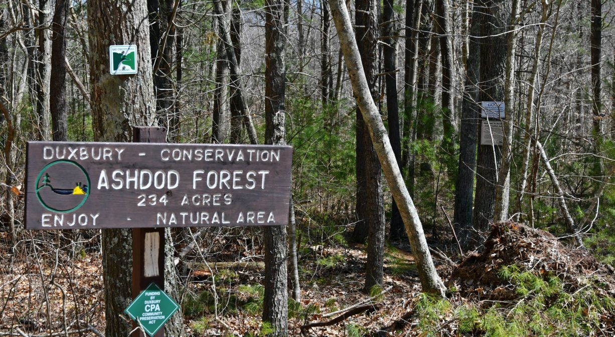
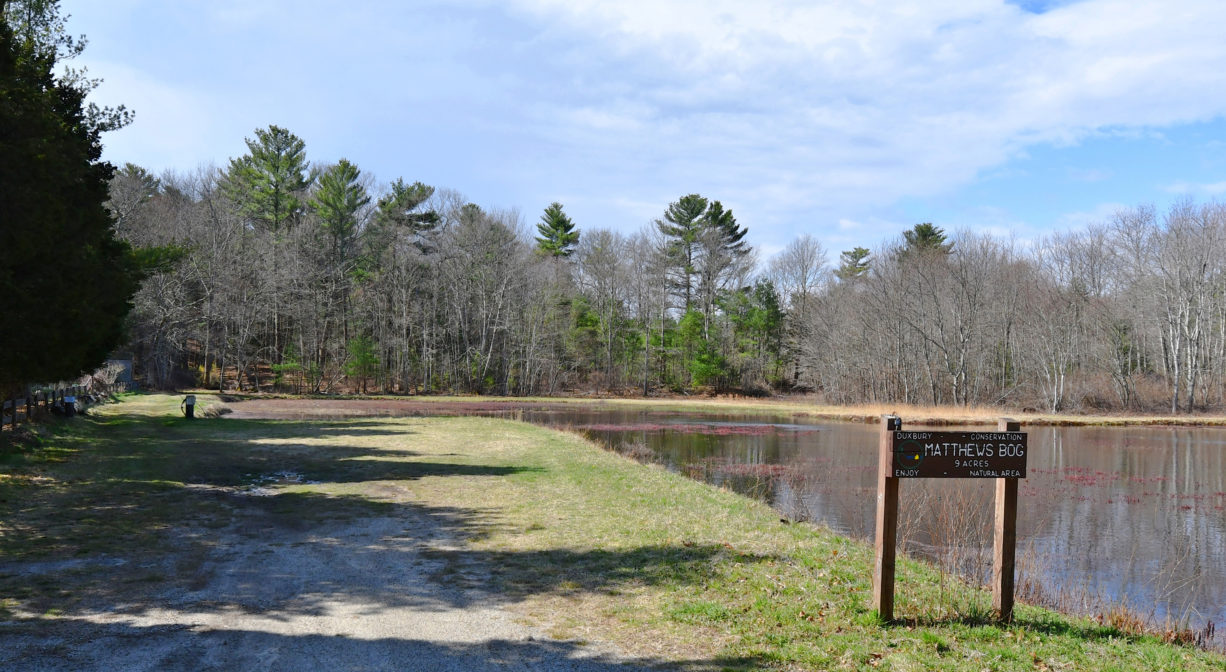
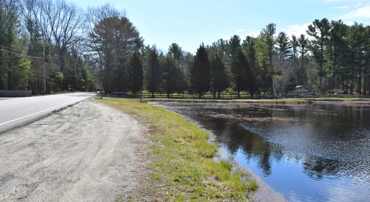
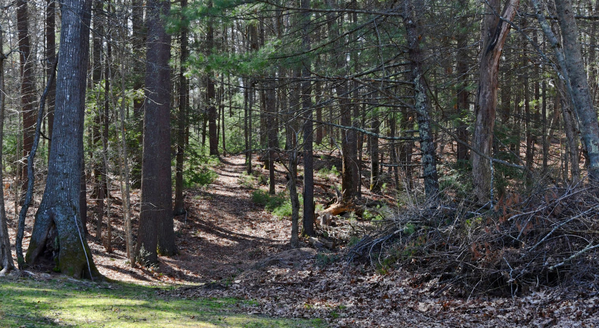
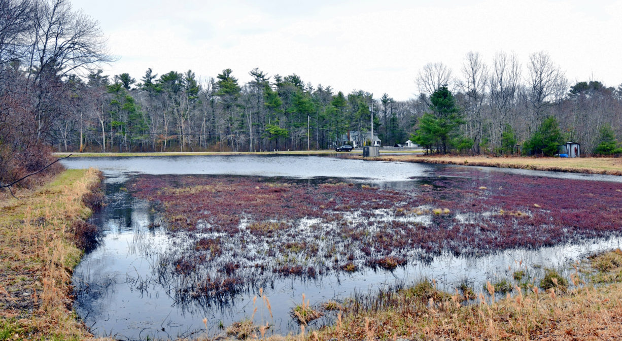
Duxbury’s Ashdod Forest offers trails through 244 acres of dense woodland and wetlands along Keene’s Brook, with occasional stream crossings and old stone walls. This includes a section of the Bay Circuit Trail. Links directly to Lansing Bennett Forest. Matthews Bog is an adjacent 9-acre property that features 0.4 miles of trails around a small cranberry bog, plus pond views.
HUNTING: Archery hunting for deer is allowed on part of this property, in season, by licensed persons in compliance with Massachusetts law. Please be sure to understand state and local hunting guidelines before proceeding. Non-hunters, be mindful of hunting seasons, and wear bright orange if you’re entering the property during those times. Hunting is not permitted on Sundays.
Features
This large forest provides ample habitat for wildlife. Some of the lands here were among the first to be acquired as open space by the Town of Duxbury in the 1970s.
Prior to European contact, the Mattakeeset band of the Massachuseuk (or Massachusett) Native American tribe lived for thousands of years in the North River watershed. Their village included most of today’s Pembroke and Hanson. Meanwhile the Patuxet band of the Wampanoag tribe inhabited the Jones River watershed, and the area now known as Kingston, Plymouth and Duxbury. This property lies within the upper portion of the South River watershed — right between those two territories. It’s possible that both tribes utilized the area.
To learn more about local Native American tribes, we encourage you to interact with their members. The Mattakeeset band of the Massachusett, the Massachusett tribe at Ponkapoag, the Mashpee Wampanoag, and the Herring Pond Wampanoag share information on their websites.
Trail Description
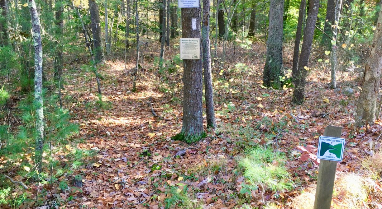
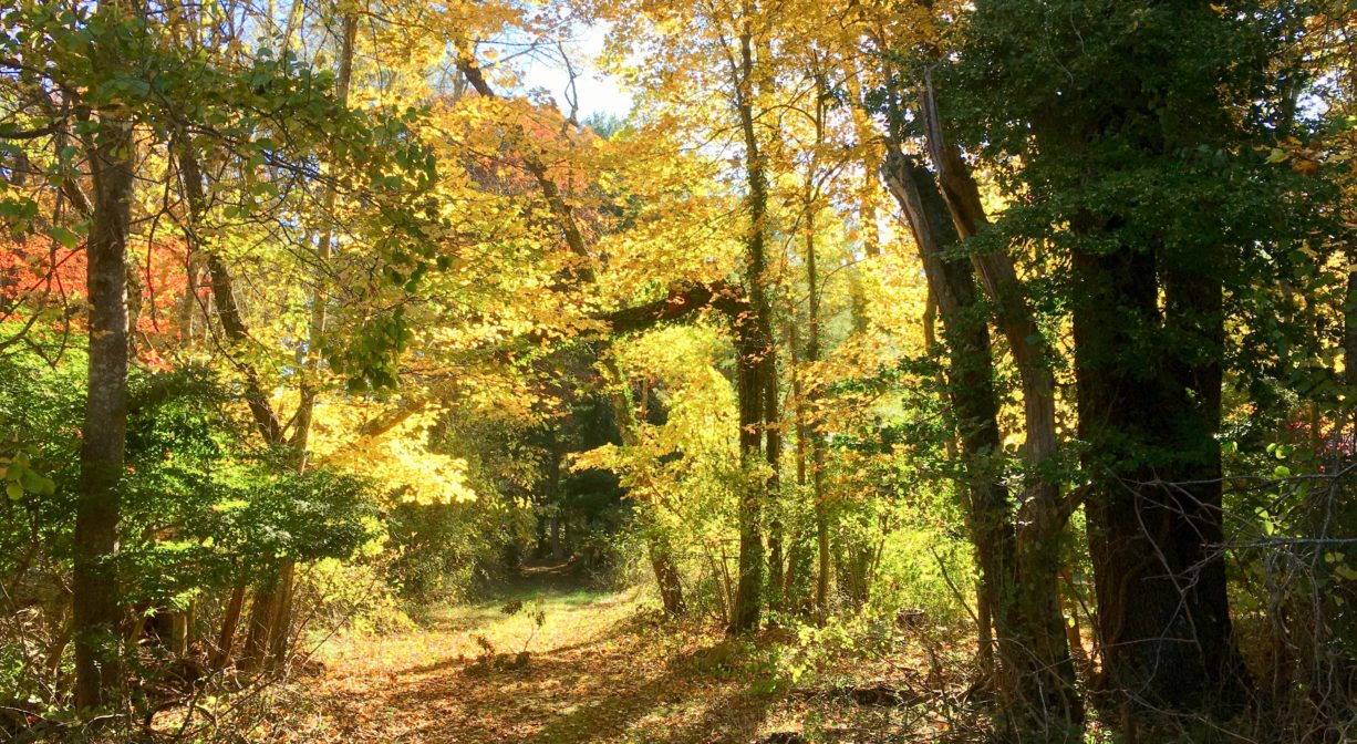
A portion of the Bay Circuit Trail runs through this property and the adjacent Lansing Bennett Forest. It extends from Union Bridge Road, through the Matthews Bog property, and through the woods to Keene Street and beyond, and is marked with white blazes. The trails within Ashdod Forest are well-used but not always well-marked. They extend for a brief distance on the north side of Congress Street, and for a much greater distance on the southern side. At Keene Street, the Bay Circuit Trail continues through Lansing Bennett Forest, past Matthews Bog and eventually to Union Bridge Road. Matthews Bog offers about 0.4 miles of wide, flat trails around cranberry bogs and ponds.
Habitats and Wildlife
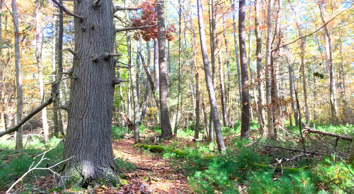
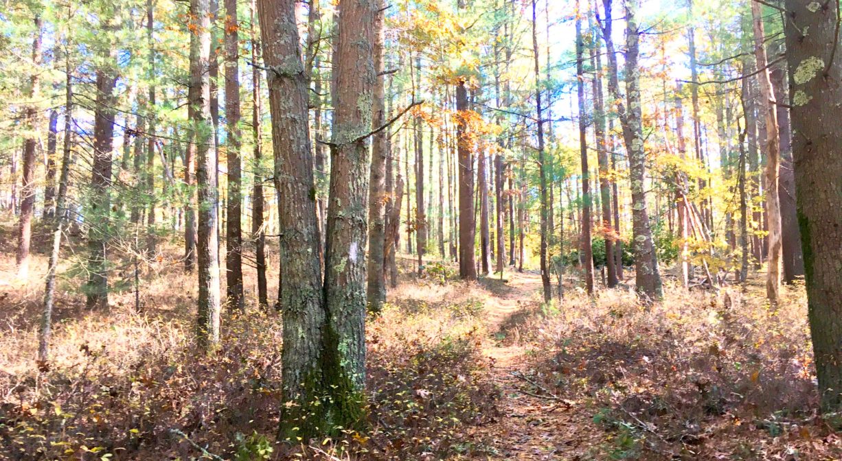
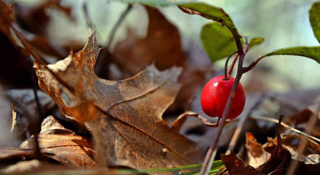
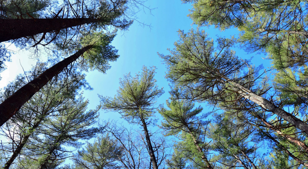
This dense Ashdod Forest includes plenty of pine, as well as hemlock, oak, sassafras, maple and birch. Look for princess pine, sweet pepper bush, fern and bittersweet as well. Be careful of ticks! The likelihood of spotting a white-tailed deer here is quite high! This section of the property is within the watershed Keene’s Brook, a tributary to the South River.
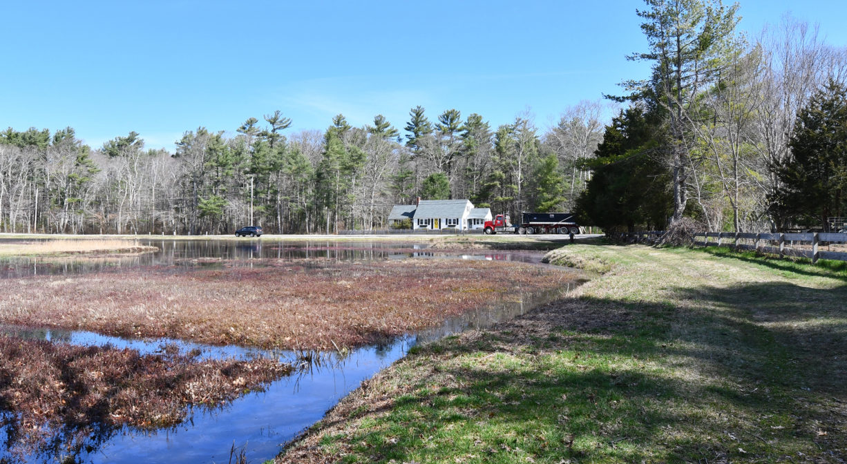
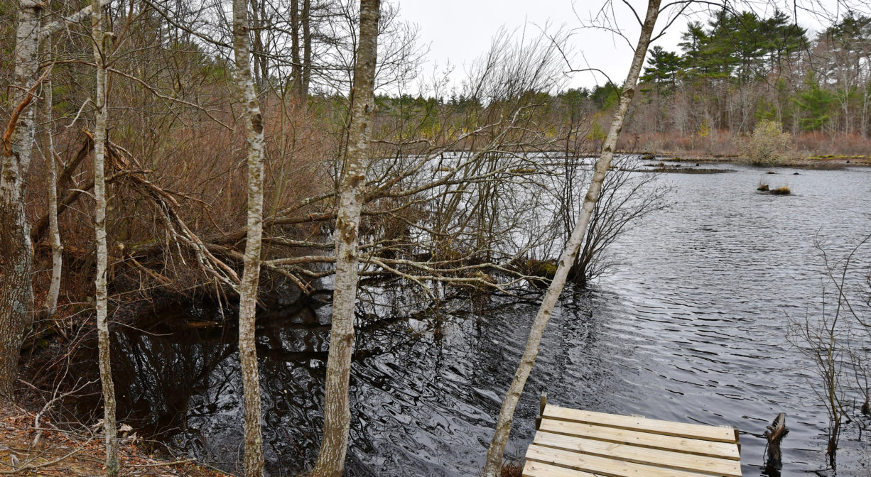
Matthews Bog is a small cranberry bog and pond, bordered with grassy areas and pine/oak./birch woodlands. Look for mallards and Canada geese. The wetlands on this property are part of the headwaters of Phillips Brook. The brook flows through Peterson’s Sawmill Pond, then northeast into the Camp Wing Conservation Area, and from there into South River.
The South River originates deep in Duxbury. Its source is in the Round Pond area, and from there it winds unobtrusively through the woods for several miles. Although one can view it from Route 3, and also from both the South River Bog and the Camp Wing Conservation Area, it remains a narrow and mostly un-navigable stream until just below Veterans Memorial Park. From there it flows through South River Park, behind the playground of South River School, and under the Willow Street and Francis Keville Bridges. Wider at that point, and navigable at most tides, its course winds through the marshes as it runs parallel to Route 139, all the way to Rexhame. From there the river turns northward. It flows for 3 miles between Humarock and the mainland to Fourth Cliff, where it joins the North River at its outlet to the sea.


Historic Site: No
Park: No
Beach: No
Boat Launch: No
Lifeguards: No
Size: 253 acres
Hours: Dawn to Dusk
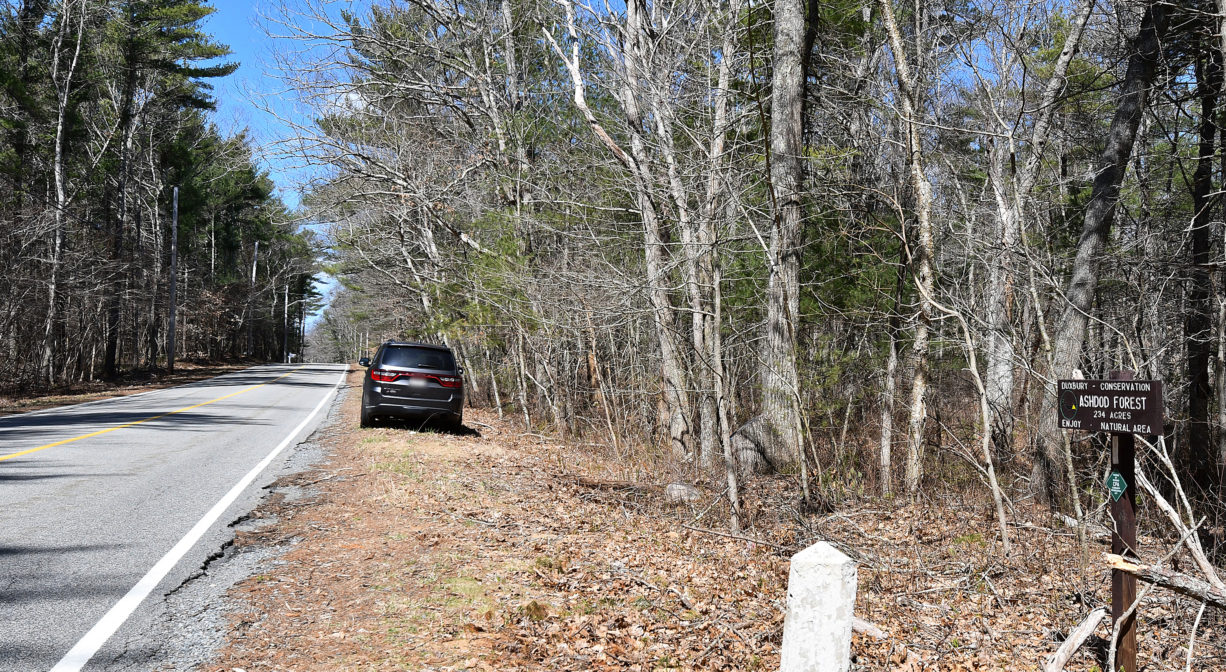
Parking: Limited roadside parking on Congress Street, east of Brook Road and at 735 Congress Street, by the Matthews Bog sign.
Cost: Free
Trail Difficulty: Easy
Facilities:
Geocache location.
Dogs: Matthews Bog is an active farm. Dogs are permitted on the trails, but they are not allowed in the bogs at any time. All dogs shall be effectively restrained and controlled by a chain or leash, or otherwise under the immediate and effective control of a handler, or confined to a motor vehicle. Each person who owns, possesses or controls a dog shall remove and properly dispose of any feces left by his/her dog. For up-to-date rules see: https://www.town.duxbury.ma.us/animal-control
Boat Ramp: No
ADA Access: No
Scenic Views: Yes
Waterbody/Watershed: Keene's Brook and Phillips Brook (South River watershed)