2054 Ocean St, Marshfield, MA 02050, USA
Owned By: Town of Marshfield
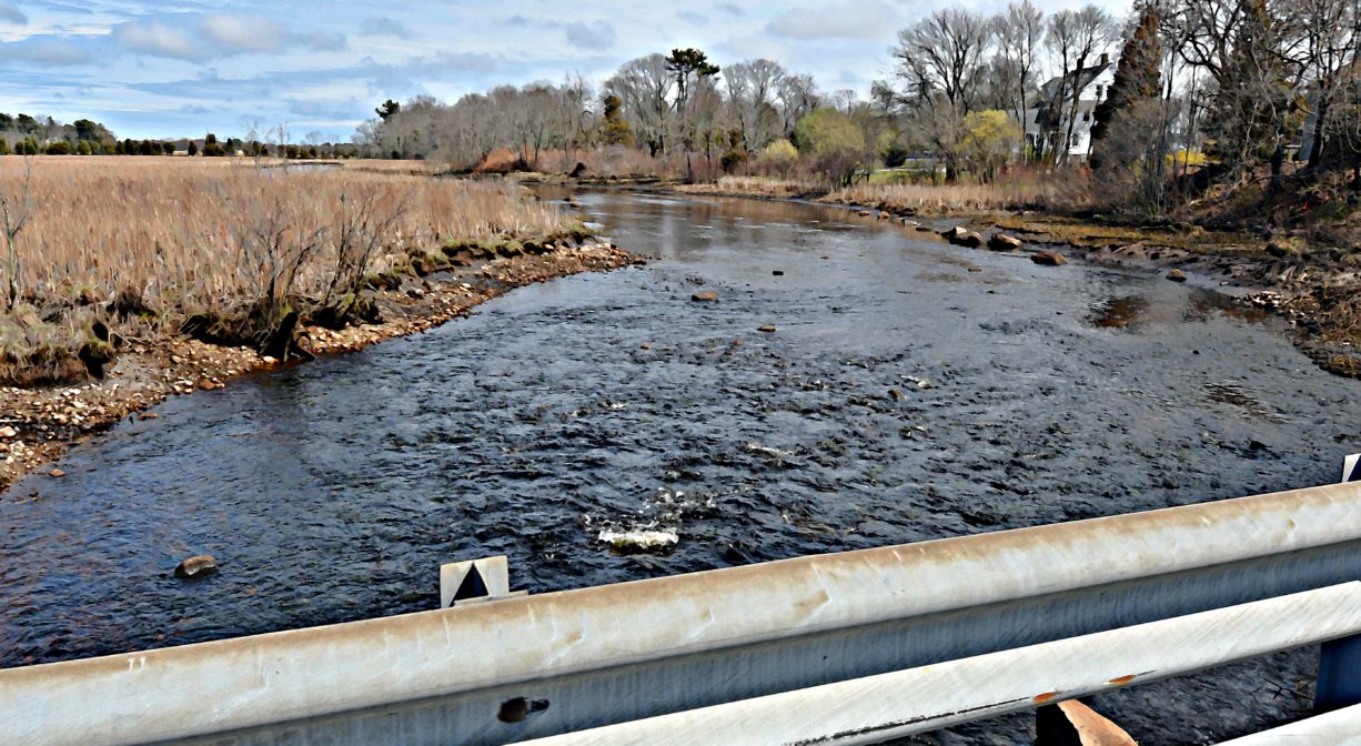
Originally constructed 1646 when it was known as Otter Bridge. There is no historic marker. In the past, the adjacent banks were used as a canoe launch, but there is now a much better launch site downstream at the Francis Keville Footbridge.
Features
In the early days of Marshfield, 5£ was appropriated for the construction of a footbridge over the South River. It was known as Rainbow Bridge, and Otter Bridge, and is now the Willow Street Bridge. Continuing into the late 20th century, a very large willow tree stood nearby. It is gone now. The historic path from Marshfield to Scituate went over this bridge and along the course of today’s South River Street to White’s Ferry near Humarock.
This land is within the region of the Massachuseuk (or Massachusett) and Wampanoag Native American tribes.
Trail Description
Willow Street is a public roadway. Heading north over the bridge look for the parking area for Pratt Farm on the right. Within you’ll find a 0.5-mile walking trail. At the farm end, you can pick up Marshfield’s Bridle Path and Rail Trail, where there’s another 3.5-miles of trail.
Between the Willow Street Bridge and Veterans Memorial Park (upstream), the South River is navigable by canoe or kayak, however it may not be accessible at all tides due to bridge clearance and low water levels. Launching a boat at Willow Street is not recommended, as poison ivy is abundant!
Habitats and Wildlife
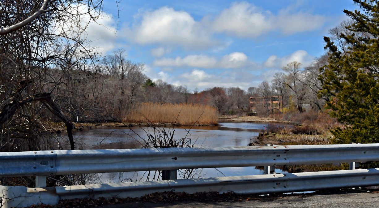
The South River originates deep in Duxbury. Its source is in the Round Pond area, and from there it winds unobtrusively through the woods for several miles. Although one can view it from Route 3, and also from both the South River Bog and the Camp Wing Conservation Area, it remains a narrow and mostly un-navigable stream until just below Veterans Memorial Park. From there it flows through South River Park, behind the playground of South River School, and under the Willow Street and Francis Keville Bridges. Wider at that point, and navigable at most tides, its course winds through the marshes as it runs parallel to Route 139, all the way to Rexhame. From there the river turns northward. It flows for 3 miles between Humarock and the mainland to Fourth Cliff, where it joins the North River at its outlet to the sea.

Historic Site: Yes
Park: No
Beach: No
Boat Launch: No
Lifeguards: No
Hours: Willow Street is a public roadway, thus the bridge is generally open.
Parking: Park at Pratt Farm, a little farther down Willow Street.
Cost: Free
Dogs: Dogs must remain on leash. Scoop the poop!
Boat Ramp: No
ADA Access: Yes
Scenic Views: Yes
Waterbody/Watershed: South River