176 Central Ave, Marshfield, MA 02050, USA
Owned By: Private
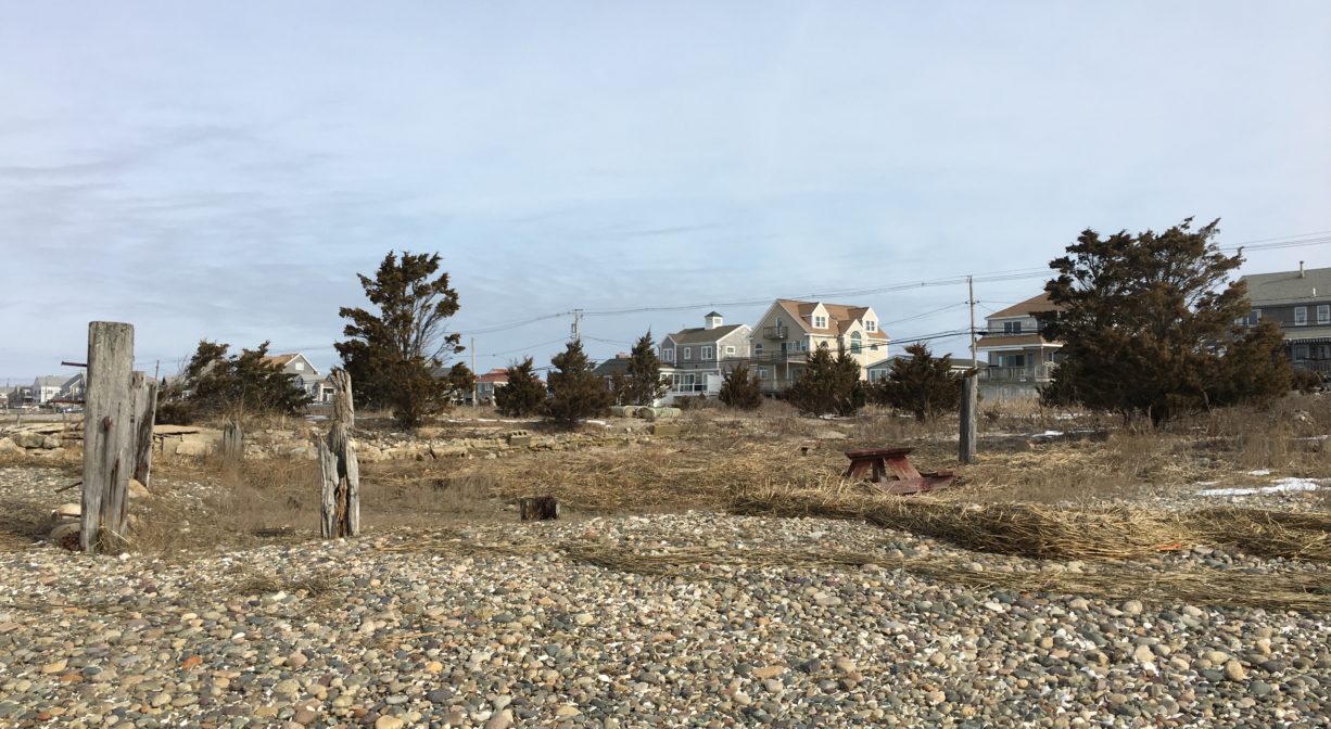
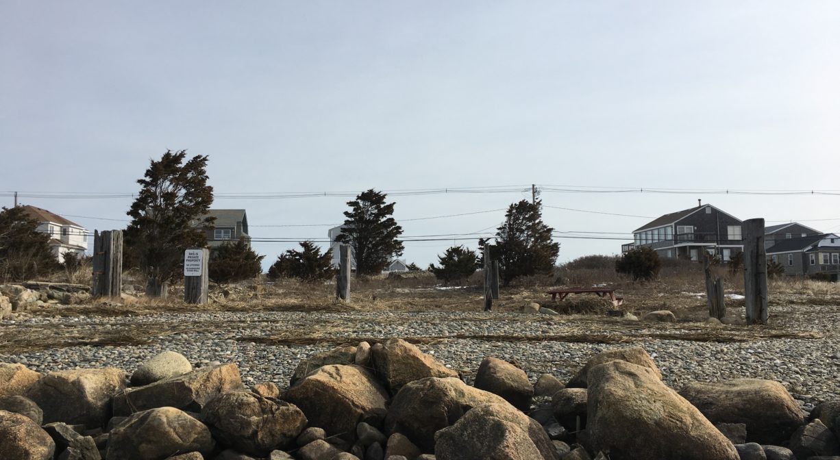
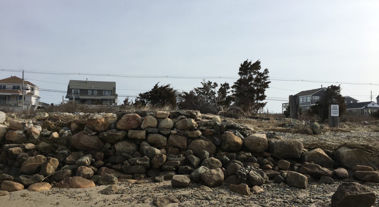
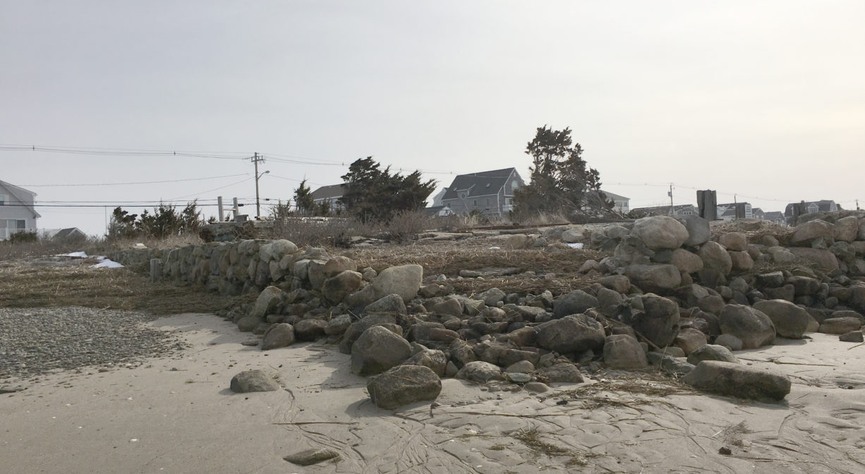
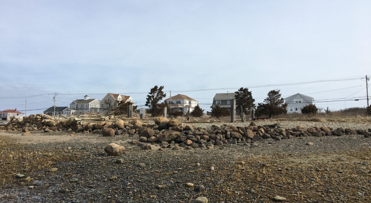
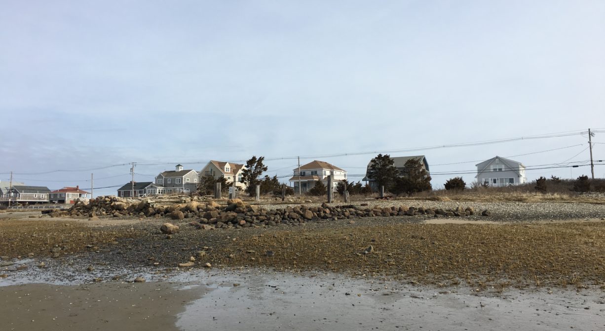
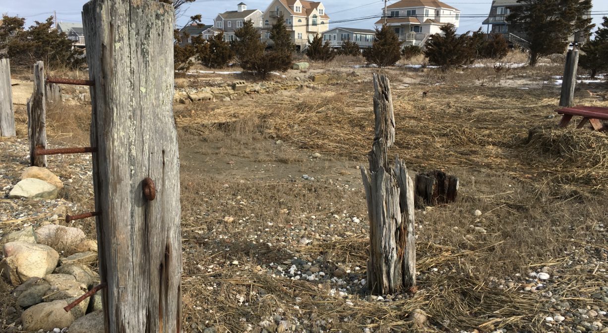
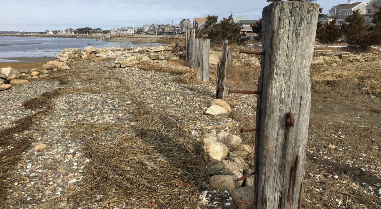
Hatch’s Gunning Stand is a historic spot on the South River in Humarock. It was the site of a boat yard and active hunting club in the 1940’s and 1950’s. Most of its remains were destroyed in the Blizzard of 1978, but portions of the foundation remain. Private property. No public access, but you can view it from the water.
Features
According to Fred Freitas’s book Humarock: Hummocks, Humming Rocks, and Silver Sands, hunting in the marshes along the North and South Rivers was an extremely popular pastime in the late 19th and early 20th centuries. Many families maintained gunning stands, especially in the New Harbor Marsh (today’s North River estuary).
Longtime Marshfield resident W. Ray Freden describes Hatch’s Boat Yard and Gunning Stand as follows. “The largest building ran with its gables east and west, with large sliding doors on the east side — they seemed boarded tight, with no ramp or entrance. The entrance door was on the left side, with maybe 3 steps. There was a smaller, shed-like building, attached on the left (south side), with two doors. If any boat building was going on, it was in there. There was room to park in front of these doors. The foundation on the north and west was made of field stones, of which some are still visible today. Dories were stacked on one another on the south side. On the north side there were tracks that ran from near the street to below the low water line. A cradle with wheels sat on the tracks, and a winch was at the head of the tracks. The building was shingled and silver grey and in poor condition outside. There were two brick chimneys, one in the shed-like building, and one in the west room of the main building.”
This land is within the region of the Massachusett (or Massachuseuk). To learn more about local Native American tribes, we encourage you to interact with their members. The Mattakeeset band of the Massachusett, and the Massachusett tribe at Ponkapoag, both share information on their websites.
Trail Description
No trails. The remains of Hatch’s Gunning Stand are located at the edge of the South River. They are visible from the river, depending on the tide. Please respect private property.
Habitats and Wildlife
Look for sandpipers on the flats between the remains of the gunning stand and the South River. The South River flows into the North River a short distance downstream.
The Blizzard of 1978 was a catastrophic Nor’easter that struck New England from February 5-7, 1978. Extensive storm damaged was sustained along the coast of the South Shore. Extremely high tideland gale force winds resulted in significant property damage along the North and South Rivers.
This property is located on the South River, which originates in Duxbury. Its source is in the Round Pond area, and from there it winds unobtrusively through the woods for several miles. Although one can view it from Route 3, and also from both the South River Bog and the Camp Wing Conservation Area, it remains a narrow and mostly un-navigable stream until just below Veterans Memorial Park. From there it flows through South River Park, behind the playground of South River School, and under the Willow Street and Francis Keville Bridges. Wider at that point, and navigable at most tides, its course winds through the marshes as it runs parallel to Route 139, all the way to Rexhame. From there the river turns northward. It flows for 3 miles between Humarock and the mainland to Fourth Cliff, where it joins the North River at its outlet to the sea.
Historic Site: Yes
Park: No
Beach: No
Boat Launch: No
Lifeguards: No
Parking: No public parking available.
Dogs: No
Boat Ramp: No
ADA Access: No
Scenic Views: No
Waterbody/Watershed: South River