
Marshfield Conservation: 781-834-5573
Owned By: Town of Marshfield
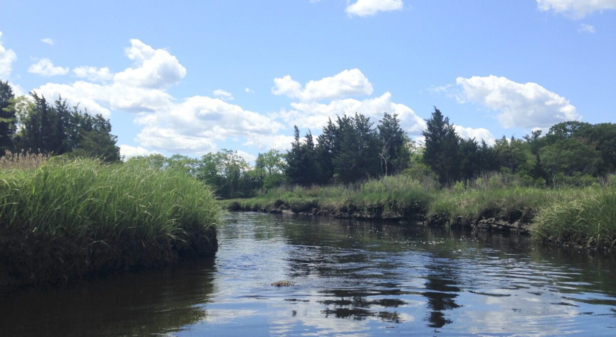
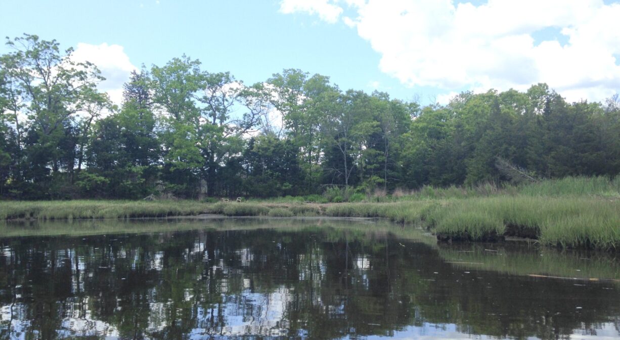
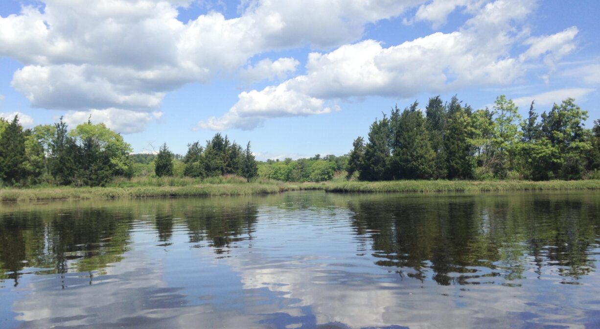
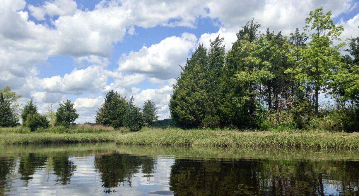
Bourne Island Lagoon, on the South River in Marshfield, is a lovely place for paddlers to take a break. It is surrounded by the Bourne Island conservation land — 6 acres of upland surrounded by 75 acres of salt marsh. Note: The lagoon is currently accessible only by water, and only around high tide.
Hunting is not permitted on Marshfield Conservation properties.
FISHING ADVISORY: It’s important to know that some of our freshwater fisheries are contaminated with mercury, PFAS and/or other concerning substances. The Massachusetts Department of Public Health maintains an online database with up-to-date advisories regarding fish consumption, sorted by location. We recommend you consult this valuable resource when planning a fishing excursion.
Features
While paddling on the South River, it’s easy to miss the Bourne Island Lagoon, unless you know where to look. We recommend carrying a map. What appears to be a marsh creek opens up into a large round pond-like area, surrounded primarily by salt marsh.
The lagoon was created with the Southport neighborhood — Marshfield’s first subdivision — was being constructed in the 1960’s. Originally planned as a marina, the project was abandoned. (Alterations to salt marshes are generally not permitted.) In 1964, the Southport Civic Association gifted the Town of Marshfield with 22 acres of marshland close to this site, the first parcel acquired for Open Space.
Bourne Island, and Bourne Park Avenue nearby, are named for the Bourne Family, who were among the first settlers of the Rexhame village of Marshfield. In 1637, Thomas and Elizabeth Bourne received a 100-acre land grant from the colony and settled on the property that is now 1308 Ocean Street. Bourne was likely one of Scituate’s Men of Kent. He served as a deputy for the town of Marshfield at Plymouth Colony Court, and also as an assessor (or rater). Seven generations of Bournes inhabited the home afterward.
This land is within the region of the Massachusetts and the Wampanoag. To learn more about local Native American tribes, we encourage you to interact with their members. The Mattakeeset band of the Massachusett, the Massachusett tribe at Ponkapoag, the Mashpee Wampanoag tribe, and the Herring Pond Wampanoag share information on their websites.
Trail Description
This Marshfield Conservation property used to include a trail that led along a narrow strip of upland, through the marsh, to an overlook of the lagoon. Unfortunately, due to vandalism, the trail — which has become significantly overgrown with briers — is closed to the public until further notice.
Habitats and Wildlife
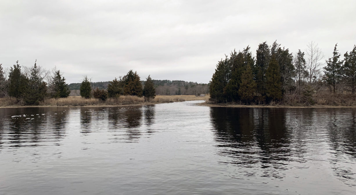
The Bourne Island Lagoon is the perfect place to pause while paddling a canoe or kayak. Let yourself rest, while floating in the still water, and admire the birds and other critters who make their home along the river and marsh. There is a stand of cedars to one side as you enter the lagoon. Look for an otter den at the water’s edge.
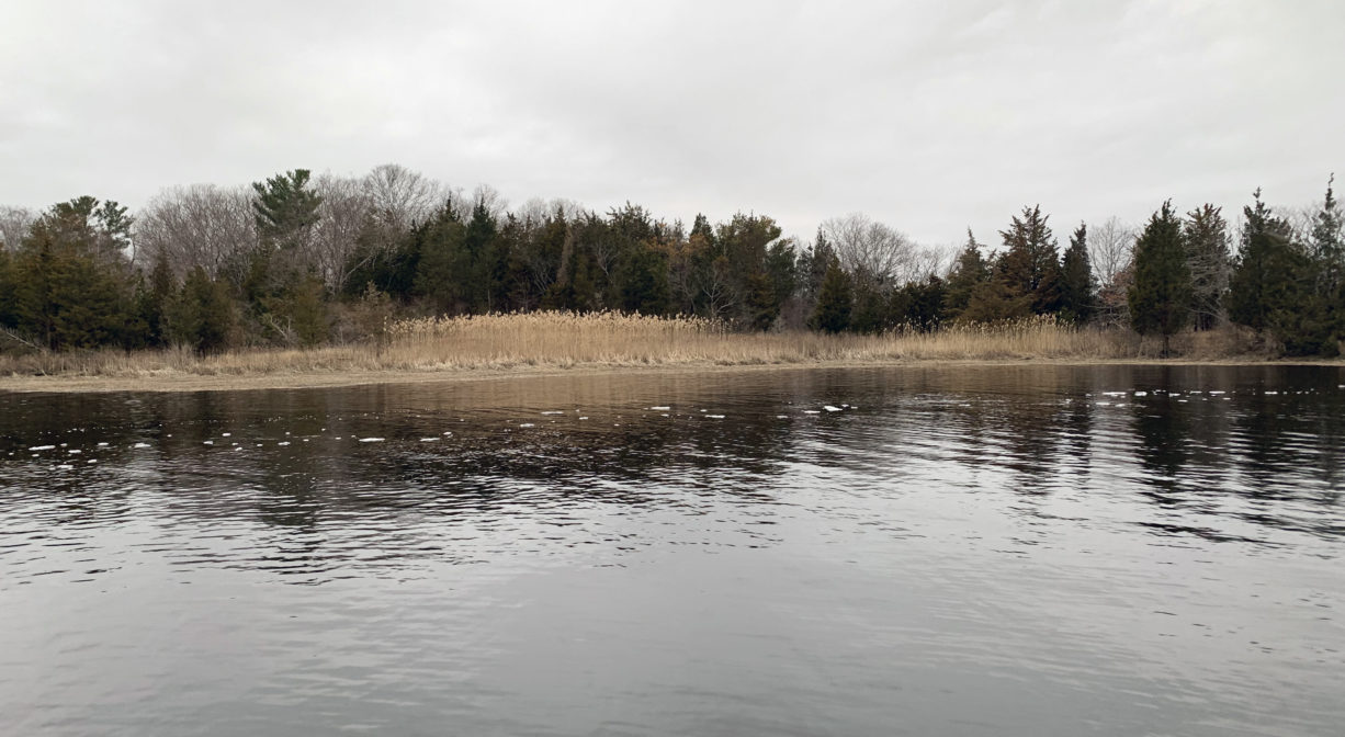
The lagoon is located on the South River, which originates deep in Duxbury. Its source is in the Round Pond area, and from there it winds unobtrusively through the woods for several miles. Although one can view it from Route 3, and also from both the South River Bog and the Camp Wing Conservation Area, it remains a narrow and mostly un-navigable stream until just below Veterans Memorial Park. From there it flows through South River Park, behind the playground of South River School, and under the Willow Street and Francis Keville Bridges. Wider at that point, and navigable at most tides, its course winds through the marshes as it runs parallel to Route 139, all the way to Rexhame. From there the river turns northward. It flows for 3 miles between Humarock and the mainland to Fourth Cliff, where it joins the North River at its outlet to the sea.
Historic Site: No
Park: No
Beach: No
Boat Launch: No
Lifeguards: No
Size: 81 acres
Hours: Dawn to Dusk
Parking: No public parking. Water access only.
Cost: Free
Facilities:
Geocache location.
Dogs: Dogs must remain on leash. Always clean up after your dog!
Boat Ramp: No
ADA Access: No
Scenic Views: Yes
Waterbody/Watershed: South River