
NATURE
by Kezia Bacon, Correspondent
Do you know about the Bay Circuit Trail? Originally conceived in 1929 as an “outer Emerald Necklace,” it’s a corridor of public open space properties that begins at the mouth of the Merrimack River in Newburyport, and extends in a wide arc around Boston via Lowell, Marlborough, Walpole and Bridgewater, all the way to Kingston Bay!
Development of the Bay Circuit Trail proceeded slowly through the 20th century, but kicked into high gear in 2012 when the Appalachian Mountain Club helped to complete and enhance the project. There are now more than 230 miles of multi-use pathways, linking 37 Massachusetts towns. Visit the Bay Circuit Trail website for detailed maps and narrative trail guides. (https://www.baycircuit.org)
Here on the South Shore, the Bay Circuit Trail extends through Hanson, Pembroke, Kingston and Duxbury, for a total of 38 miles. That’s probably more that you’d like to explore in a single day, but hiking the Bay Circuit Trail would be a fun project to complete in stages. See below for details.
Also, don’t miss our 2023 Explore South Shore Challenge, Know Your Local Waters. Each week we feature a river, stream, pond or other waterway, and highlight public places you can visit to experience it first-hand. Watch for daily posts on Facebook and Instagram. The program also includes a weekly trivia question, with a chance to win a custom NSRWA prize package.
BCT in Hanson
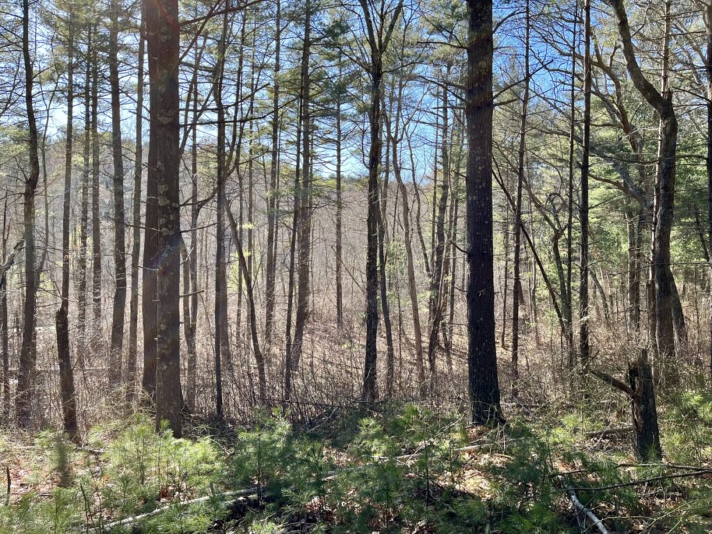
The Bay Circuit Trail (BCT) enters the South Shore at the Smith-Nawazelski Conservation Area in Hanson, crossing over Poor Meadow Brook from East Bridgewater. Parking is available at 482 Elm Street in Hanson. Continue following the trail through the Burrage Pond Wildlife Management Area (382 Pleasant Street), Indian Crossway Conservation Area (199 Crooker Place), and The Last Meadows (53 Pierce Avenue). Watch for future BCT connections to Wampatuck Pond. In the meantime, the next stop is the Hanson Veterans Memorial Town Forest (723 Indian Head Street), followed by Camp Kiwanee and the Alton Smith Reserve. Along the way, you’ll pass from the Poor Meadow Brook (Satucket River) watershed, through the Great Cedar Swamp, and into the Indian Head Brook (North River) watershed.
BCT in Pembroke
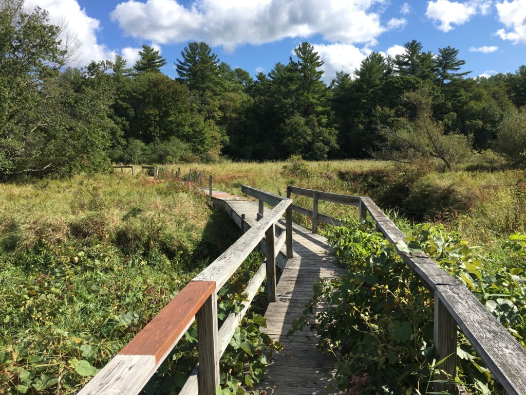
The Bay Circuit Trail offers a trail link between Hanson’s Alton Smith Reserve and Pembroke’s J.J. Shepherd Memorial Forest (483 Mattakeesett Street). The route continues past Great Sandy Bottom Pond and Little Sandy Bottom Pond to Tubbs Meadow (139 Monroe Street), where it then divides into two branches, north and south. While most of Pembroke’s Ponds are part of the North River watershed, at Tubbs Meadow, the Bay Circuit Trail passes into the Jones River watershed.
The Northern Branch (Duxbury)
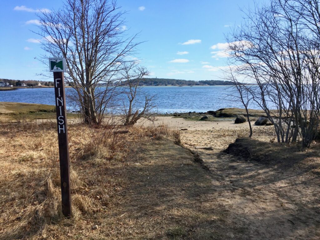
The Northern Branch of the final section of the Bay Circuit Trail begins at Tubbs Meadow and continues along the trails at Pembroke High School and Hobomock Elementary (81 Learning Lane). The next public property to visit along the way is Duxbury’s Ashdod Forest, which connects to Lansing Bennett Forest (262 Union Bridge Road), a huge property with significant BCT mileage. Then continue to the Duxbury Bogs on East Street, followed by Round Pond Conservation Area (480 Mayflower Street). The final stop, after a long stretch of Elm Street, is Bay Farm, where you’ll find an official “southern terminus” marker, plus some interpretive signage relating to the trail. This route takes you through three watersheds – the Jones River, the South River, and Kingston Bay.
The Southern Branch (Kingston)
An alternate route for the final section of the Bay Circuit Trail proceeds through several properties in Kingston, nearly all in the watershed of the Jones River. From Tubbs Meadow, the BCT continues through Pembroke’s Veterans Commemorative Town Forest (School Street) and onward to Kingston’s Silver Lake Sanctuary (Barse’s Lane), the Cranberry Watershed Preserve (54 Lake Street), the Hathaway Preserve (83 Wapping Road) and Sampson Forest & Memorial Park (67 Elm Street). Again, after a long stretch of roadway, the trail concludes at Bay Farm on Kingston Bay (31 Loring Street, Kingston).
Kezia Bacon’s articles appear courtesy of the North and South Rivers Watershed Association, a local non-profit organization devoted to protecting our waters. For membership information and a copy of their latest newsletter, contact NSRWA at (781) 659-8168 or visit www.nsrwa.org. You will also find 26+ years of Kezia’s Nature columns there. For more information about the Explore South Shore 2023 Challenge, visit https://www.nsrwa.org/get-outdoors/2023-explore-south-shore-challenge