
 NATURE
by Kezia Bacon
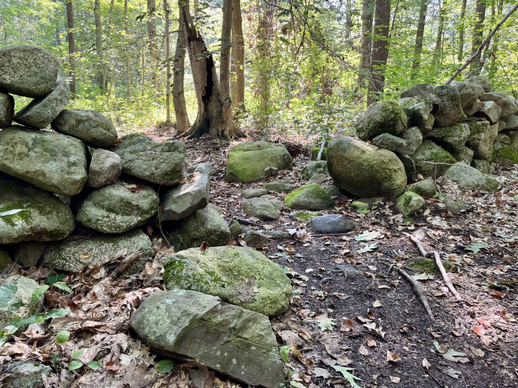
Have you ever come across a stone wall in the woods and wondered why? The chain of events that led to these seemingly incongruent yet common sights began not just centuries ago, when the walls were built, but thousands of years prior.
More than 20,000 years ago, a glacier known as the Laurentide ice sheet extended for millions of square miles across what is now Canada and New England. As it formed, a mile-deep wall of ice sculpted the surface of the earth. And when it retreated, it left behind all sorts of sediment. Our local landscape – glacial moraines and outwash plains – is what emerged as the ice melted away.
Beneath the roadways and developments that cover the South Shore, beneath the fields and forests, the rivers and streams; strewn on top of the bedrock in depths of up to a few hundred feet, is glacial till: a mix of sediments ranging in size from intriguingly large boulders to the finest grains of sand.
Glacial till might not be the most welcoming nursery for plant life, but over time, moss, grass and wildflowers take hold and enrich the soil, which eventually becomes hospitable to trees. In time, a new forest grows and diversifies. Early 1600’s accounts from New England describe broad expanses of dense, mature, mixed hardwood forests.
The Native American tribes who inhabited the South Shore before and after European colonization hunted, fished and foraged for sustenance, but they also grew crops. Using controlled burns, they created forest clearings, and then gathered soil into mounds, which they planted and fertilized. As soil nutrients diminished, additional clearings and mounds were made.
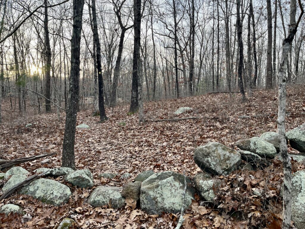
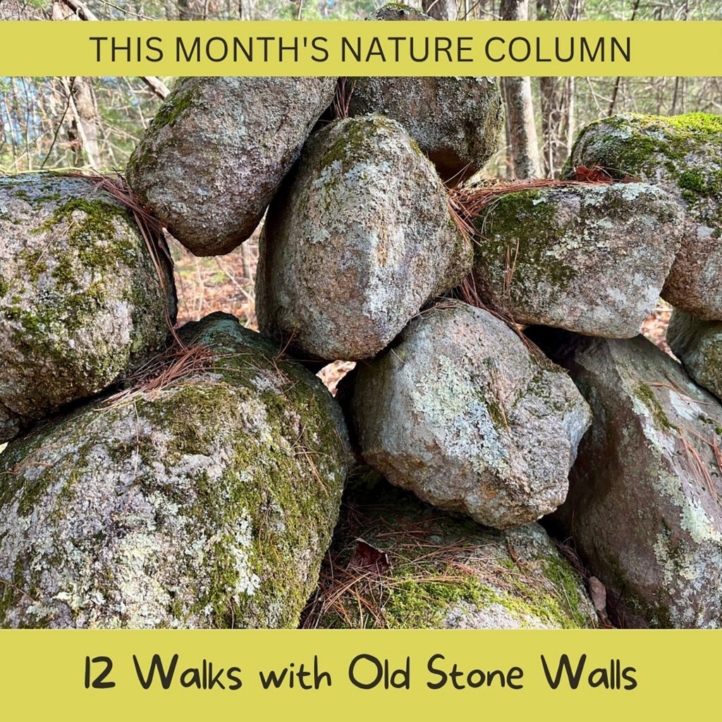
Early European settlers were accustomed to a different style of agriculture – felling trees, and then digging furrows in the newly-cleared earth. Here on the South Shore, with our rocky soil of glacial till, this was difficult work. Every shovel full of earth revealed more obstacles – stones, rocks, boulders – all of which were set aside, neatly stacked into walls, which at least could contain livestock and mark property lines. Every classic New England stone wall is the result of countless hours of painstaking work — work that was rarely complete, as each winter, frost heaves would push new stones to the surface!
As the European population grew, nearly all of the South Shore’s native forests were cut down. Not just for agriculture – local lumber was essential in the local economy for building homes, ships, and factories. As settlers pushed westward, they discovered that not all American soil was rocky. And so – especially in the last 150 years, our local forests have had the opportunity to grow back. Sunny farm fields gave way to pine, oak, maple and beech, sprouting up around the stone walls and often toppling them.
Which brings us back to today. The list below includes some of the South Shore’s many public properties where you can see stone walls in the woods. Some are small remnants, easy to overlook, and others extend for hundreds of feet. Some are shallow, mossy, and sunken into the earth, while others are surprisingly tall. They weren’t intended to be decorative, but today they serve as a reminder of our region’s agricultural past … and also a kind of land-based art!
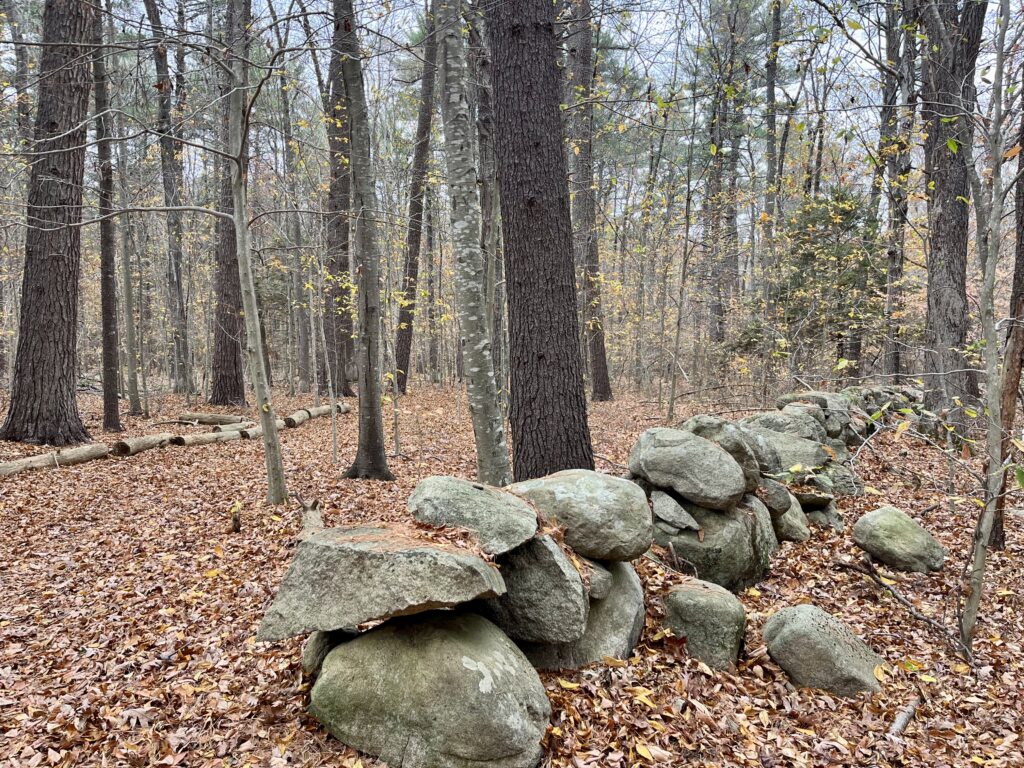
Fogg Forest and Carleton Property, Norwell
You can find one of the best examples of intact stone walls along this property’s C3 and C4 trails, leading up to the Whiting Fields Cow Path, which extends across an open meadow in the Second Herring Brook /North River watershed. On-site parking at 605 Main Street.
Hale Family Woodlands Nature Trail, Weymouth
This 1-mile network of forest trails is located on the grounds of the New England Wildlife Center in the Mill River / Weymouth Back River watershed. Along the way, you’ll find interpretive signage, occasional footbridges, glacial erratic boulders, and remnants of stone walls. Ample on-site parking at 500 Columbian Street.
Cranberry Pond Conservation Area, Braintree
This 140-acre wooded property on the Braintree-Holbrook line features 2 miles of trails, plus views of Cranberry Pond and Cranberry Brook in the Fore River watershed. The landscape is scattered with rocky outcroppings and glacial erratic boulders, plus at least one old stone wall. Limited on-site parking on Eutaw Road and Hillsdale Road.
Phillips Sanctuary and Firehouse Loop, Hanover
The Morrill Allen Phillips Sanctuary, the Merry Conservation parcel, and the Firehouse Loop trail extend across 55 acres in the Indian Head River watershed. The adjoining properties feature 1.6 miles of intersecting, well-marked forest paths plus the occasional boardwalk, footbridge and old stone wall. Access and parking at the Fire Station Museum at 1095 Broadway (6-8 vehicles) and along Alden Road.
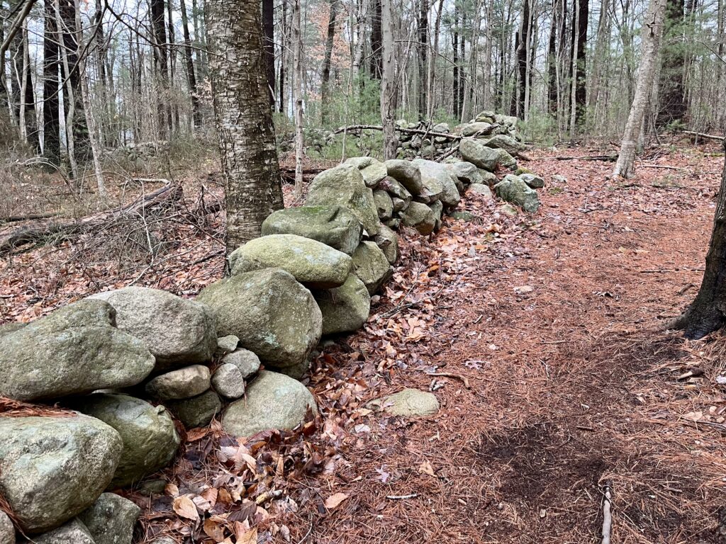
Damon Preserve, Scituate
This 37-acre property extends into both the Aaron River and First Herring Brook watersheds, and features 1.2 miles of woodland trails, with occasional glacial erratics and numerous stone walls. Located on the south side of Clapp Road, just east of Booth Hill Road. Look for parking access around #67 Clapp Road.
McCarthy Farm Conservation Area, Rockland
This 36-acre forest in the French’s Stream / North River watershed features old stone walls, two small ponds, and several vernal pools. Follow the 0.7-mile out-and-back trail loop to the top of Rye Hill. On-site parking lot for 8 vehicles at 829 Beech Street.
Brass Kettle Conservation Area, Cohasset
This 120-acre property features a mile of woodland trails with vernal pools, historic stone walls, and access to Brass Kettle Brook, in the Gulf River watershed. Look for the small parking area (2-3 cars) between 265 and 279 King Street. Additional access via the Pape Reservation, as well as Whitney & Thayer Woods.
Sampson Park and Faunce Memorial Forest, Kingston
These adjoining properties extend across 175 acres, with more than a mile of woodland trails, vernal pools and a view of the Jones River, where a dam once stood. In the woods, look for old stone walls, glacial erratic boulders, and Furnace Brook, a Jones River tributary. Limited on-site parking at 67 Elm Street.
Cornhill Woodland, Marshfield
Situated on the North River, this 123-acre property offers two miles of trails and boardwalks through forest and freshwater wetlands. Along the way, you’ll catch glimpses of brooks, glacial erratic boulders, and salt marsh, plus a number of old stone walls. Limited on-site parking (4 vehicles). Look for the parking area between 1087 and 1147 Union Street, across the street from the Phillips Farm Preserve, another great stone wall viewing spot!
Ashdod Forest, Duxbury
This 244 acre-expanse of dense woodlands and wetlands is situated in the watershed Keene’s Brook, a South River tributary. There are old stone walls along the trails, and occasional stream crossings. Limited roadside parking east of Brook Road at 932 Congress Street.
Triphammer Pond Conservation Area, Hingham
In the 1600’s, Accord Brook was dammed to build Sawmill Pond, now known as Triphammer. The property features a 1-mile perimeter trail with occasional stone walls and numerous glacial erratics, in the Weir River watershed. Limited on-site parking. Look for the unpaved driveway between #75 and #128 Popes Lane. Continue driving about 1/4 mile beyond the conservation area sign.
Pembroke High School and Hobomock Elementary Trails
These wide, well-maintained trails extend for 3 miles through woods and wetlands in the Herring Brook / North River watershed. Look for old stone walls and a historic cart path. Limited off-street parking toward the end of Learning Lane.
If you enjoy the outdoors, be sure to check out NSRWA’s Explore South Shore program. Every morning, we highlight one of the region’s best public nature places on Facebook and Instagram. Every weekend, we feature long and a short walking trails. Not on social media? We’ve listed all the locations on our website as well!
Kezia Bacon’s articles appear courtesy of the North and South Rivers Watershed Association, a local non-profit organization devoted to protecting our waters. For membership information and a copy of their latest newsletter, contact NSRWA at (781) 659-8168 or visit www.nsrwa.org. You will also find thirty years of Kezia’s Nature columns there.